 geocatalogue.geoportail.lu
Type of resources
Available actions
Topics
Keywords
Contact for the resource
Provided by
Groups
Years
Representation types
Update frequencies
status
Service types
Scale
From
1
-
10
/
1157
-

-
-

-
-
-

-
-

-
-
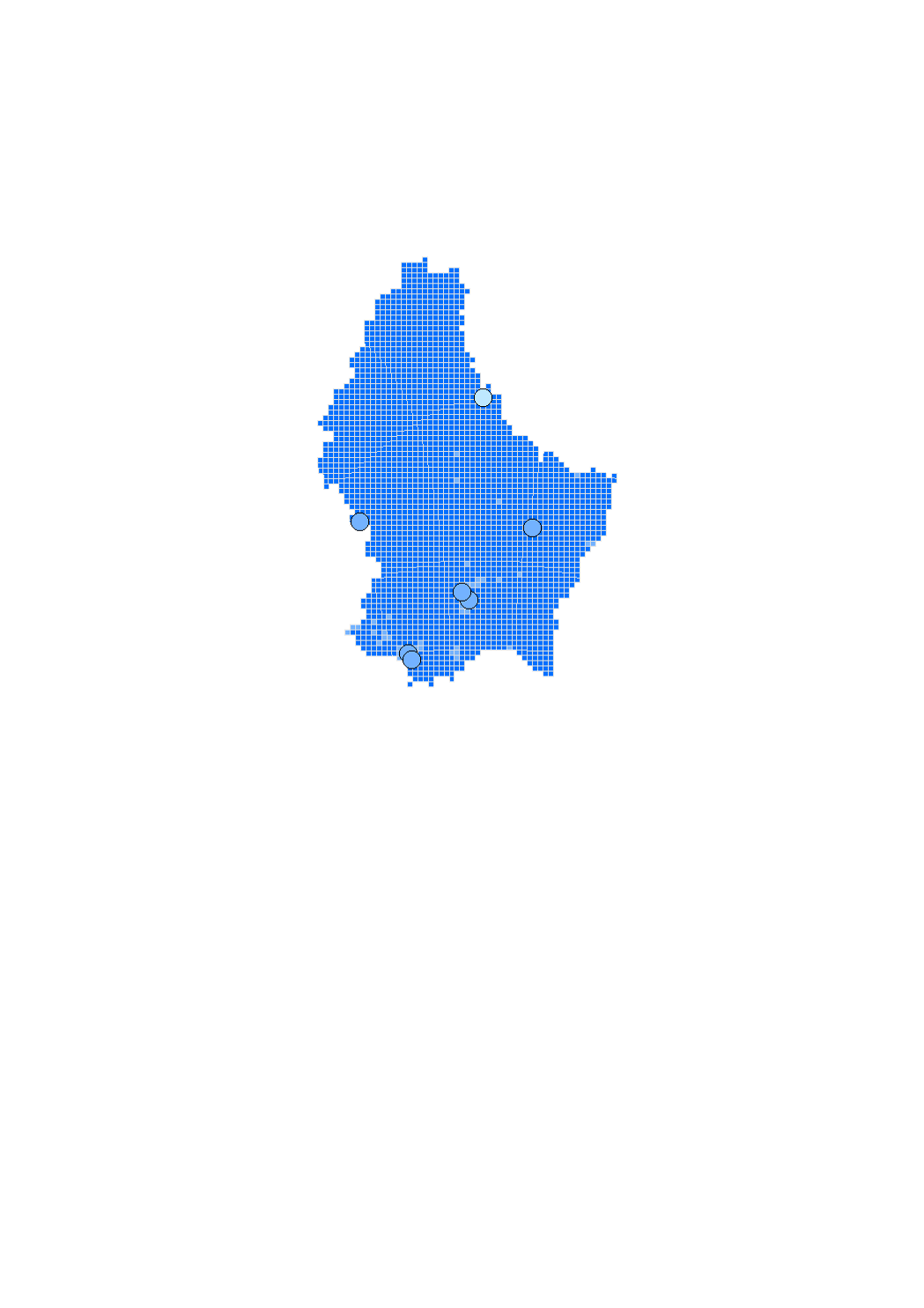
This layer contains the rescue services situated in the nature parc Our