 geocatalogue.geoportail.lu
5000
Type of resources
Available actions
Topics
Keywords
Contact for the resource
Provided by
Groups
Years
Representation types
Update frequencies
status
Scale
-

This layer contains the regulations contained in the land use plan of the municipality of Lintgen. The information in this geoportal layer has no legal value and must be considered as mere indications related to the original document. The original plan can be viewed in the local administration.
-

This layer contains the regulations contained in the land use plan of the Préizerdaul municipality. The information in this geoportal layer have no legal value and must be considered as mere indications related to the original document. The original plan can be viewed in the Préizerdaul administration.
-

Drinking water shortage (level « red »)
-

Drinking water shortage (level « orange »)
-
The surface water typology was determined on the basis of geographical , geological, morphological and hydrological characteristics. The Luxembourgish surface water typology comprises five types. For all five types the reference conditions, which would be achieved if there were no anthropogenic pressures impacting surface waters, are described in fact sheets. The reference conditions correspond to the high status of surface water bodies.
-

This layer contains the regulations contained in the land use plan of the Remich municipality. The information in this geoportal layer have no legal value and must be considered as mere indications related to the original document. The original plan can be viewed in the Préizerdaul administration.
-
-
The evaluation of the hydromorphological structure of surface water is made in two steps: First the method for the surface water development ability is applied. For this method the current structure of the surface water is analyzed for the different surface water sections. Constructing on the section-referred evaluation a total evaluation of the surface water development ability per surface water body takes place.
-
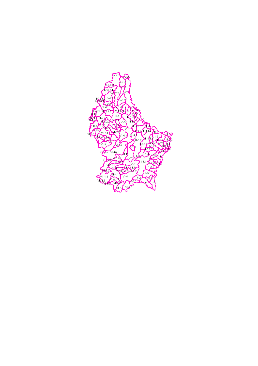
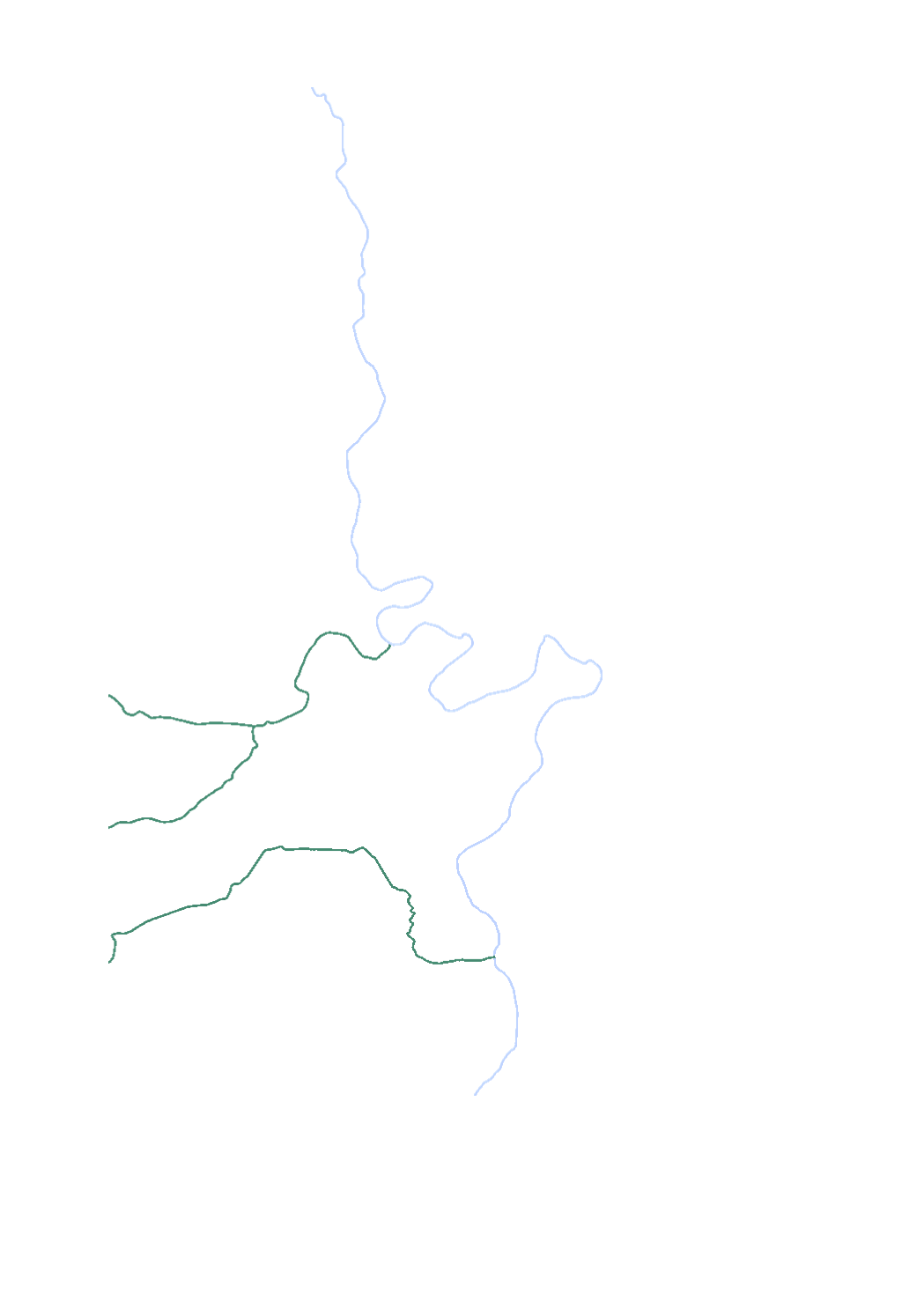
The surface water of Luxembourg are subdivided in 102 water bodies. The identification of water bodies is based on geographical and hydrological determinants. 3 surface water bodies are integrated in the river basin of the "Chiers", part of the river basin district of the Meuse. 99 surface water bodies are integrated in the river basin of the "Moselle", part of the river basin district of the Rhine.
-
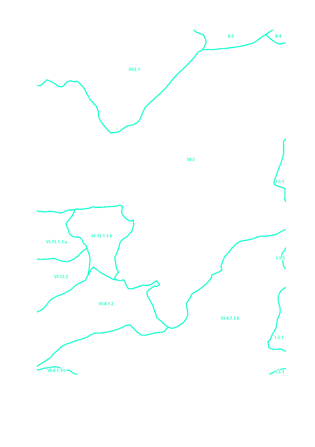
The surface water of Luxembourg are subdivided in 106 water bodies. The identification of water bodies is based on geographical and hydrological determinants. 3 surface water bodies are integrated in the river basin of the "Chiers", part of the river basin district of the Meuse. 103 surface water bodies are integrated in the river basin of the "Moselle", part of the river basin district of the Rhine.