 geocatalogue.geoportail.lu
2016
Type of resources
Available actions
Topics
Keywords
Contact for the resource
Provided by
Groups
Years
Representation types
Update frequencies
status
Scale
-
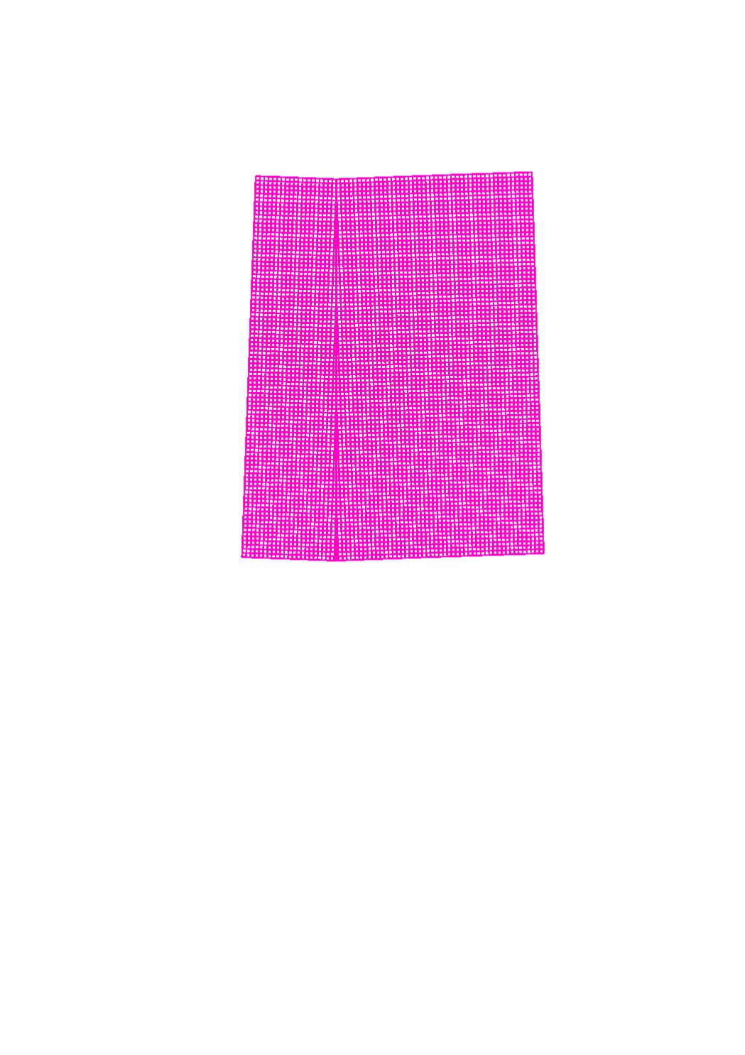
This layer shows a grid of the UTM system (Universe Transverse Mercator)
-
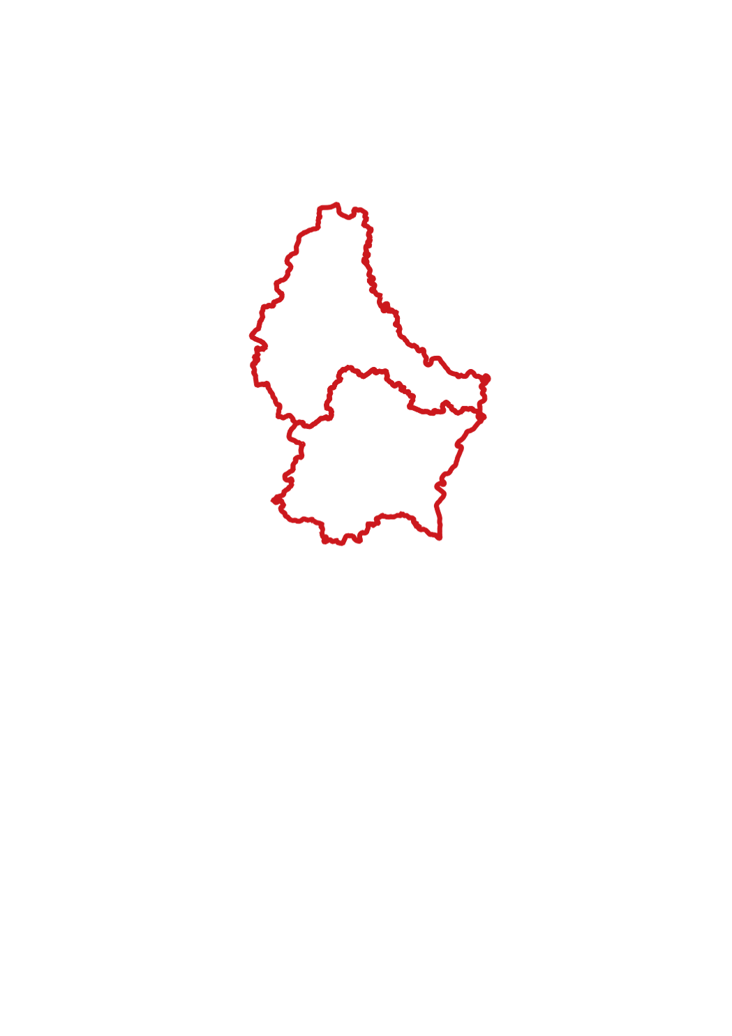
This layer shows the borders of Luxembourg's jurisdictions
-
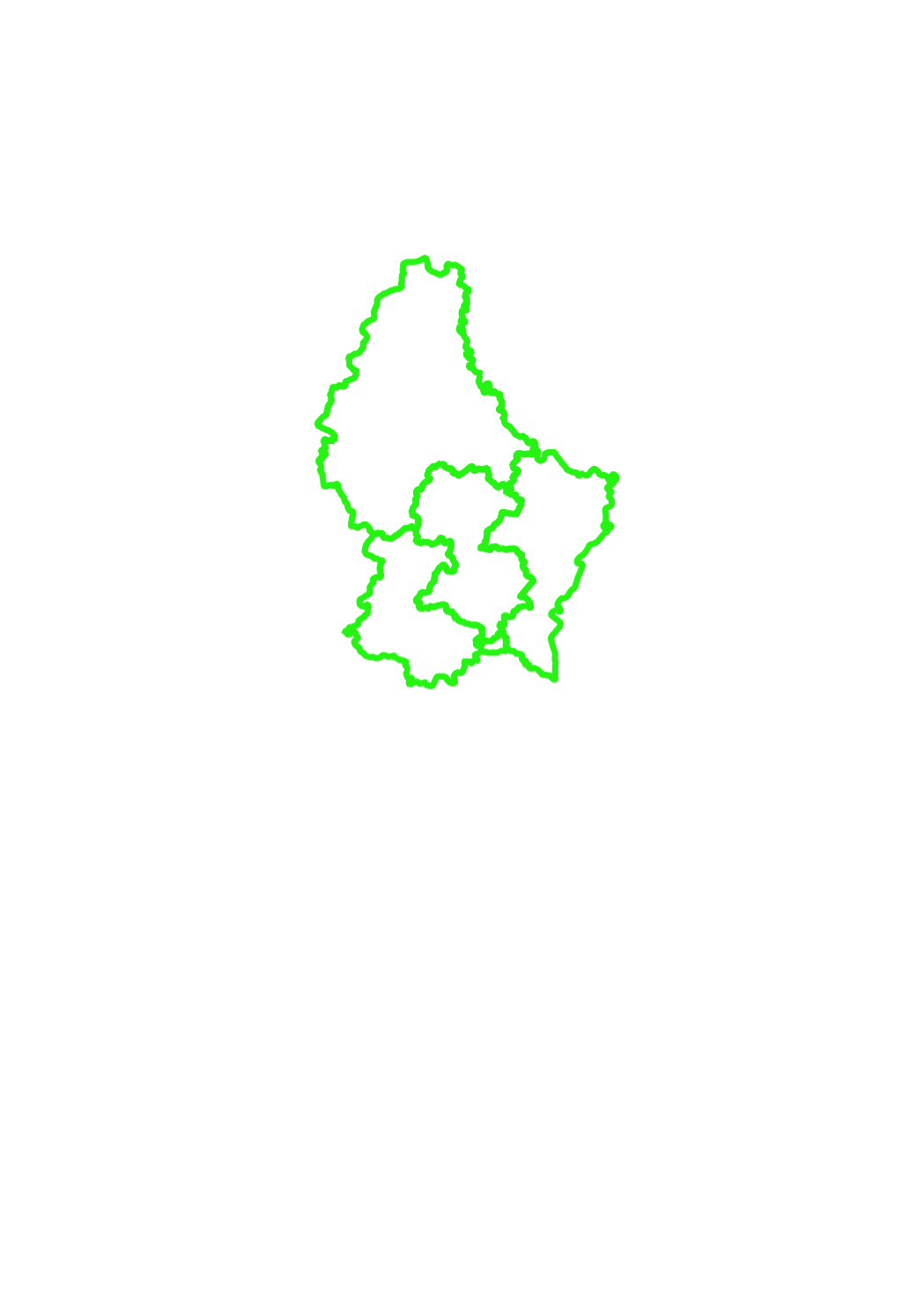
This layer shows the borders of Luxembourg's electoral districts
-
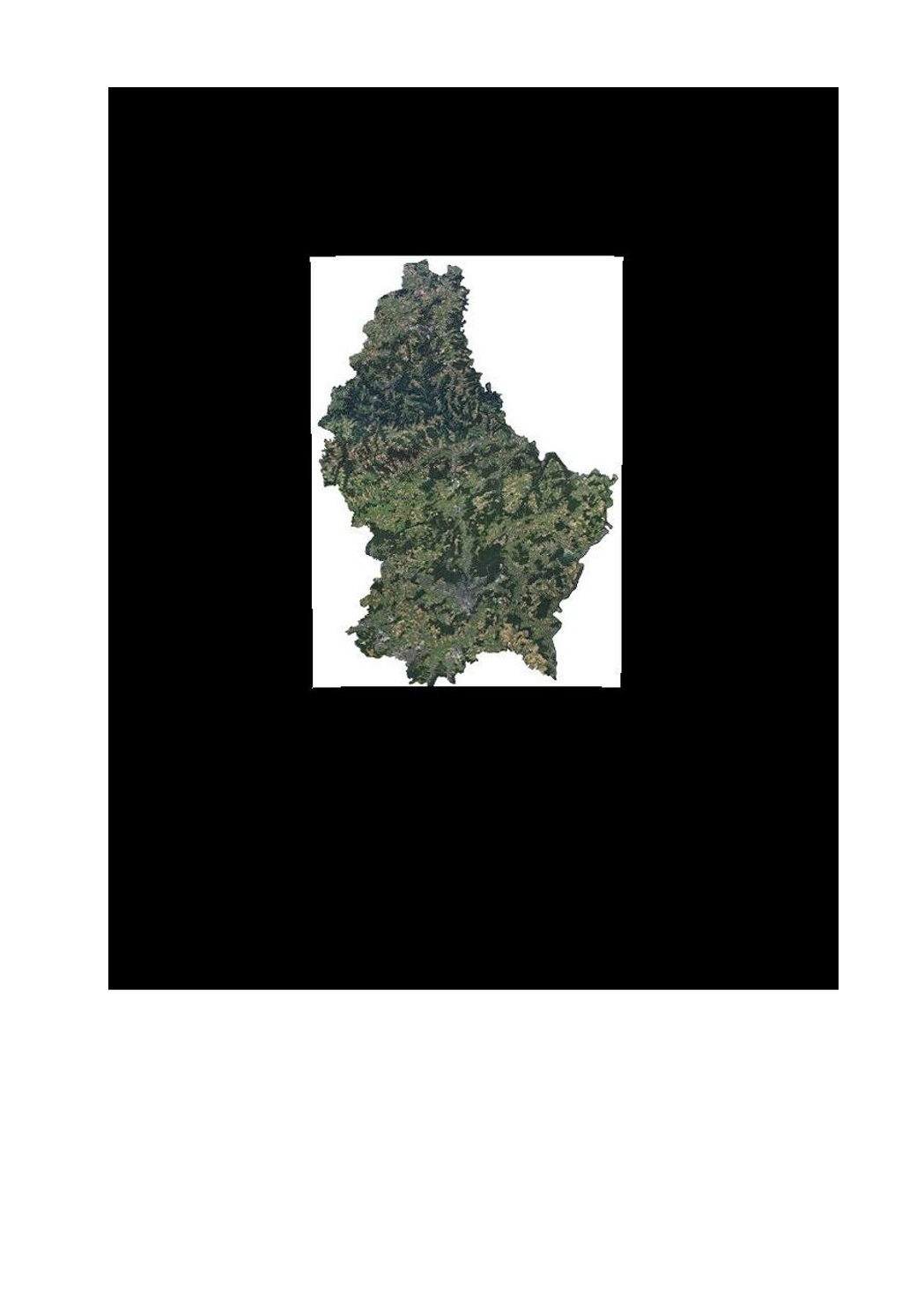
This layer contains the official orthophotos covering the national territory of Luxemburg, and that have been produced following a surveying flight in summer 2016 under the responsibility of the administration du cadastre et de la topographie.
-
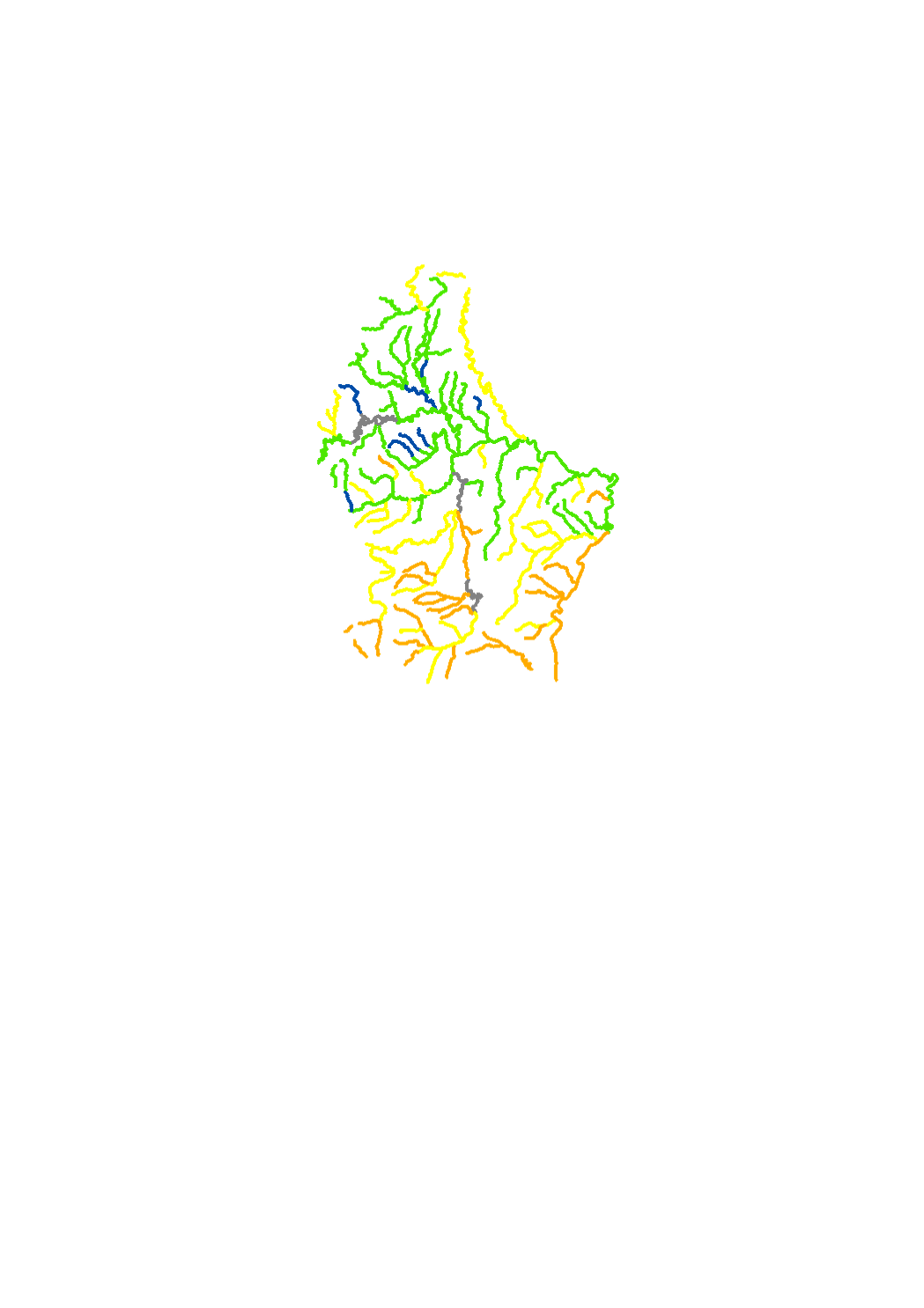
The macroinvertebrates are sampled according to the French method IBGN ( indice biologique global normalisé , agences de l' eau 2000). The results allow to classify the surface water bodies into 5 classes : high - good - moderate - poor - bad. Macroinvertebrates are sensitive to the hydromorphology, organic pollution , biological continuity , water regime and acidification. The Macroinvertebrates are one out of four biological parameters of the ecological status of surface water.