 geocatalogue.geoportail.lu
2010
Type of resources
Available actions
Topics
Keywords
Contact for the resource
Provided by
Groups
Years
Representation types
Update frequencies
status
Scale
-
This layer contains the addresses from the official address data set created and managed by the Administration du Cadastre et de la Topographie (ACT). The street names correspond to the official national street names and town name register, the Registre National des Localités et des Rues (CACLR), which is also managed by ACT. The address points are placed in the respective centres of the largest building or of the parcel.
-
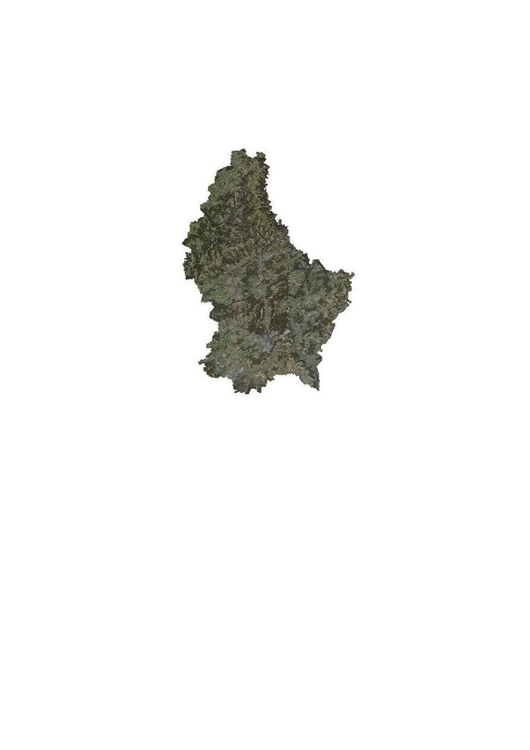
This layer contains the official orthophotos covering the national territory of Luxemburg, and that have been produced following a surveying flight in autumn 2007 under the responsibility of the administration du cadastre et de la topographie.
-

This layer contains the tiles to subdivide certain datasets of the administration du cadastre et de la topographie
-
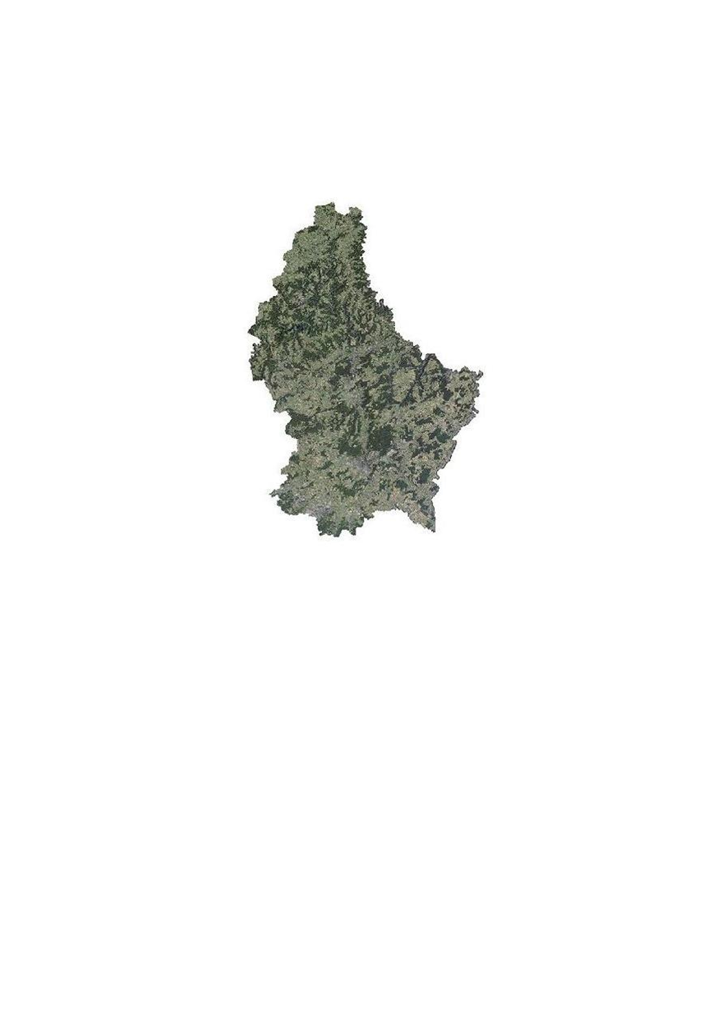
This layer contains the official orthophotos covering the national territory of Luxemburg, and that have been produced following a surveying flight in summer 2010 under the responsibility of the administration du cadastre et de la topographie.
-
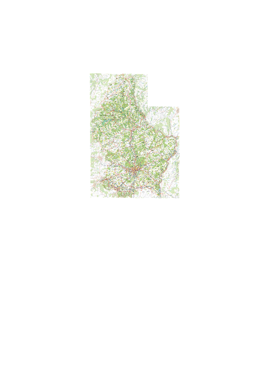
Digital topographic map at scale 1:50.000 issued from the BD-L-TC. Exists as rasterfile (TIFFormat) as well as vector-database, including a style-file for ARCGIS.
-
scenario of the flood hazard map which shows the floodplain of a modeled extreme flood event, as demanded by the floods directive 2007/60/EC
-
scenario of the flood risk map which shows the floodplain of a modeled extreme flood event, as demanded by the floods directive 2007/60/EC
-
scenario of the flood risk map which shows the floodplain of a modeled 100-year flood event, as demanded by the floods directive 2007/60/EC
-
scenario of the flood risk map which shows the floodplain of a modeled 100-year flood event, as demanded by the floods directive 2007/60/EC
-
scenario of the flood hazard map which shows the floodplain of a modeled 10-year flood event, as demanded by the floods directive 2007/60/EC