10000
Type of resources
Available actions
Topics
Keywords
Provided by
Groups
Years
Representation types
Update frequencies
status
Scale
-

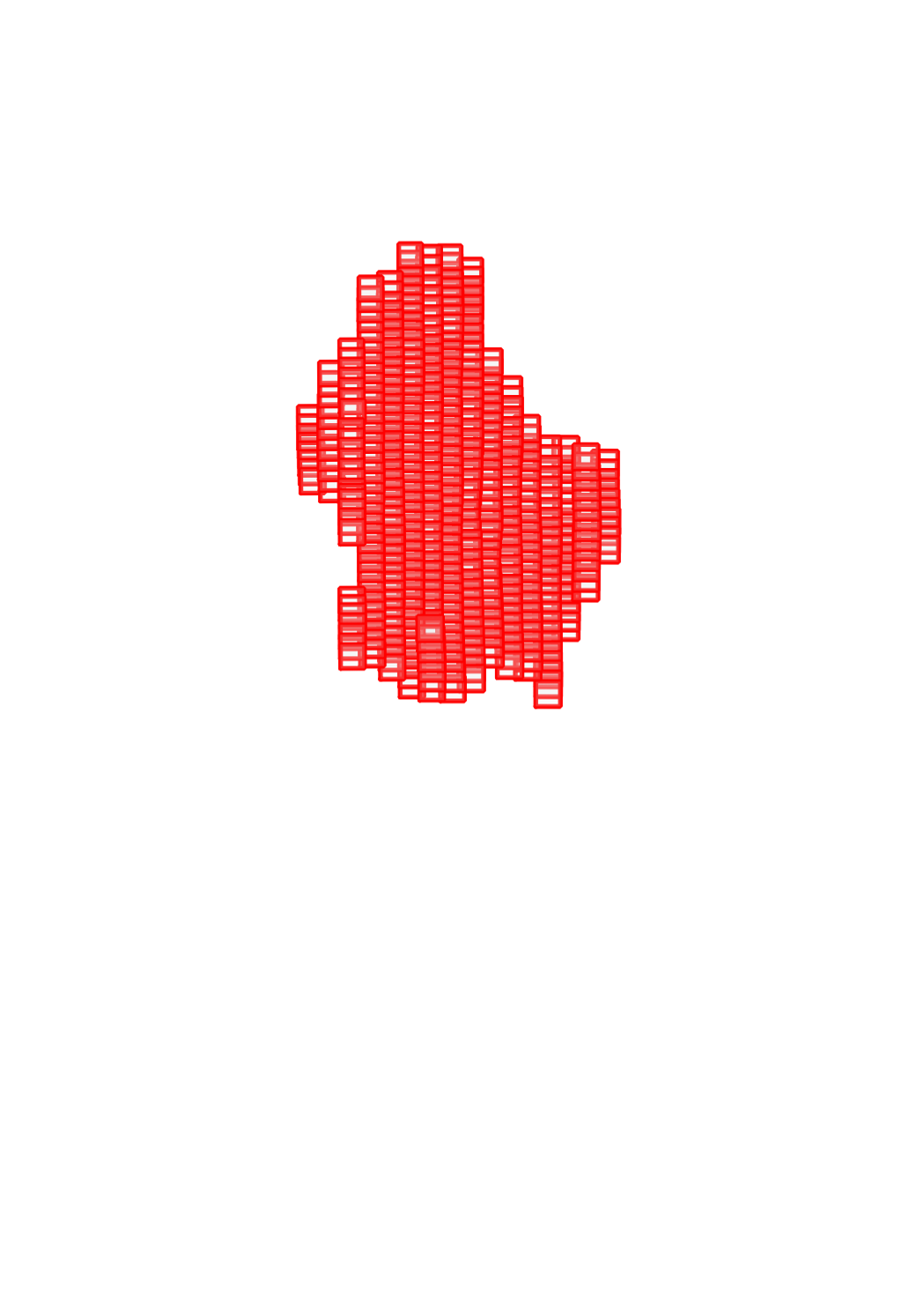
Aerial images which have been used for the photogrammetric restitution of the 1954 topographic map. These images are not georeferenced nor orthorectified. The data in the 1:10000 scale covers the region around the capital.
-

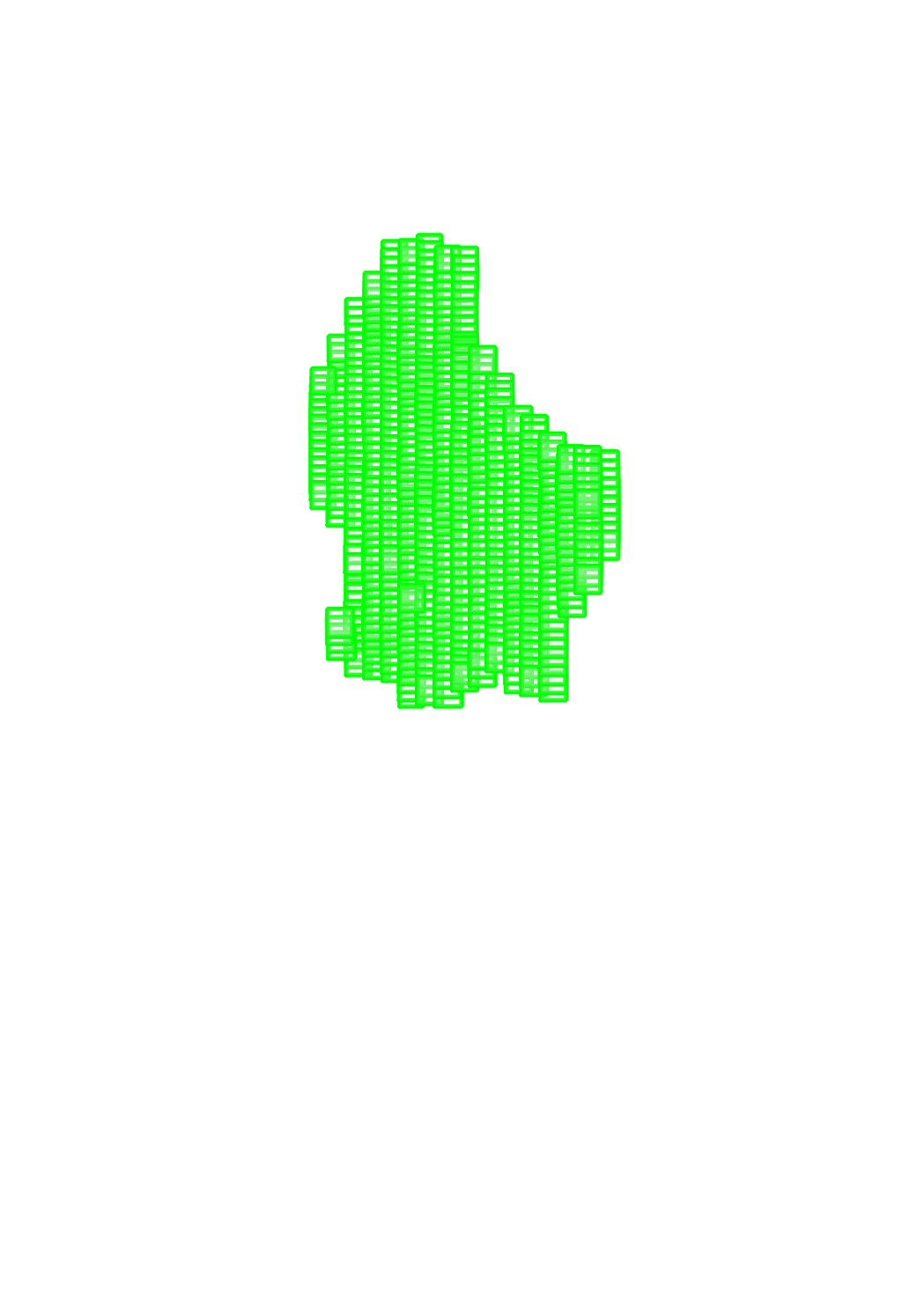
Aerial images which have been used for the photogrammetric restitution of the 1954 topographic map. These images are not georeferenced nor orthorectified. The data in the 1:25000 scale covers entire country.
-

Aerial images which have been used for the photogrammetric restitution of the topographic maps. These images are not georeferenced nor orthorectified. The data in the 1:30000 scale covers the entire country.
-

Aerial images which have been used for the photogrammetric restitution of the topographic maps. These images are not georeferenced nor orthorectified. The data in the 1:30000 scale covers the entire country.
-

Aerial images which have been used for the photogrammetric restitution of the topographic maps. These images are not georeferenced nor orthorectified. The data in the 1:30000 scale covers the entire country.
-

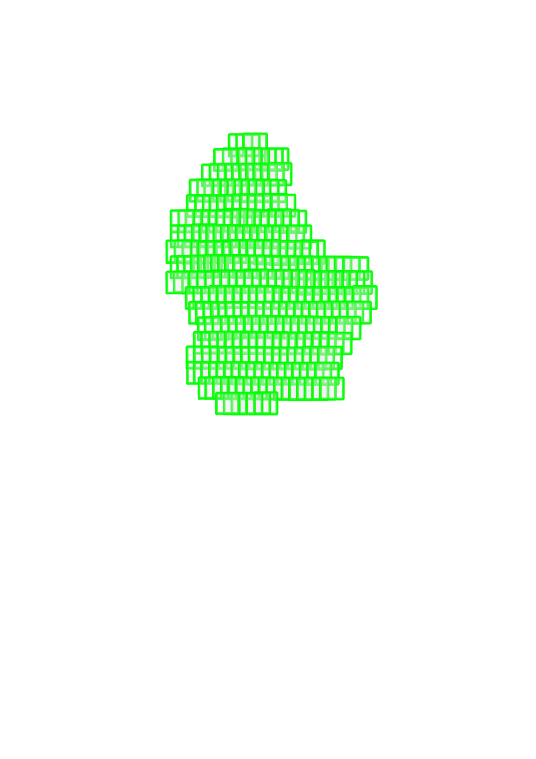
Aerial images which have been used for the photogrammetric restitution of the 1964 topographic map. These images are not georeferenced nor orthorectified. The data in the 1:20000 scale covers the entire country.
 geocatalogue.geoportail.lu