 geocatalogue.geoportail.lu
Environment
Type of resources
Available actions
Topics
Keywords
Contact for the resource
Provided by
Groups
Years
Representation types
Update frequencies
status
Scale
-
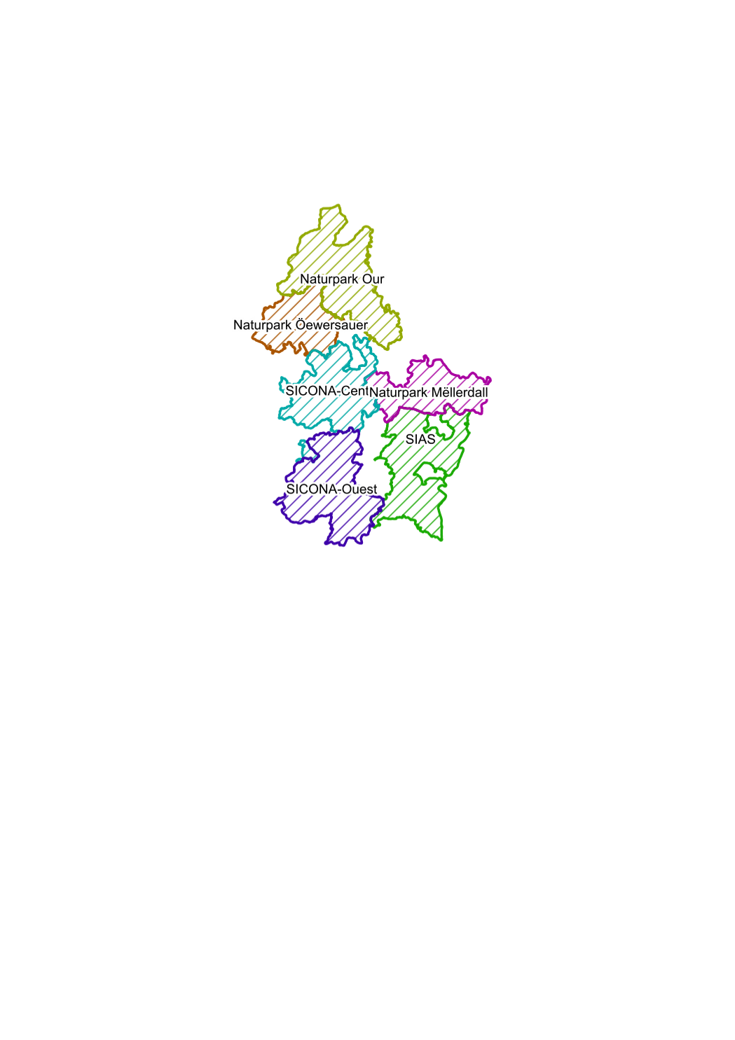
territory of first degree of the regional outposts of the nature administration conformable to the grand ducal regulation of 11th june 2009 concerning the number and composition of the outposts of the nature administration.
-
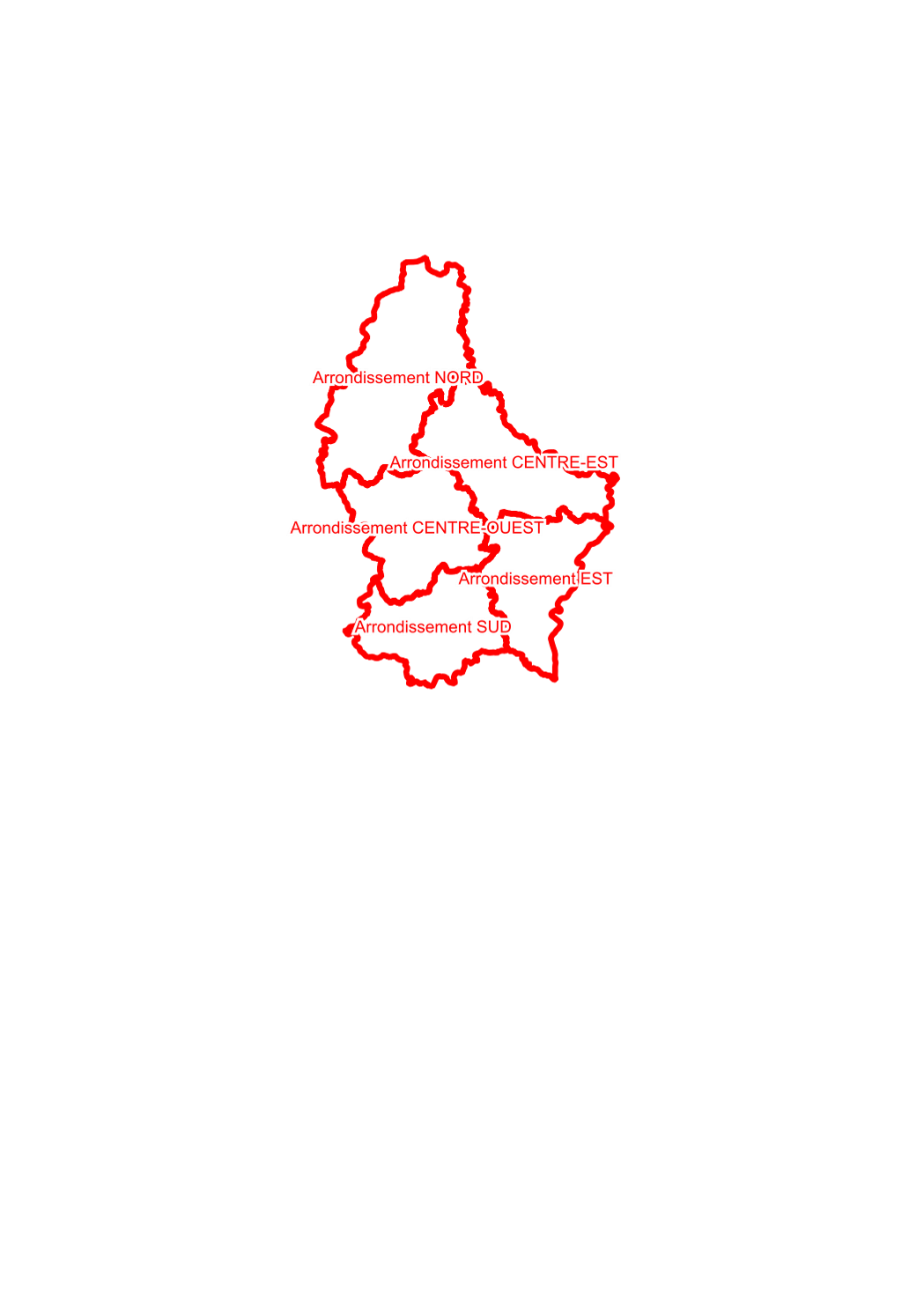
areal units of the biological stations, intercommunal syndicates for nature protection
-
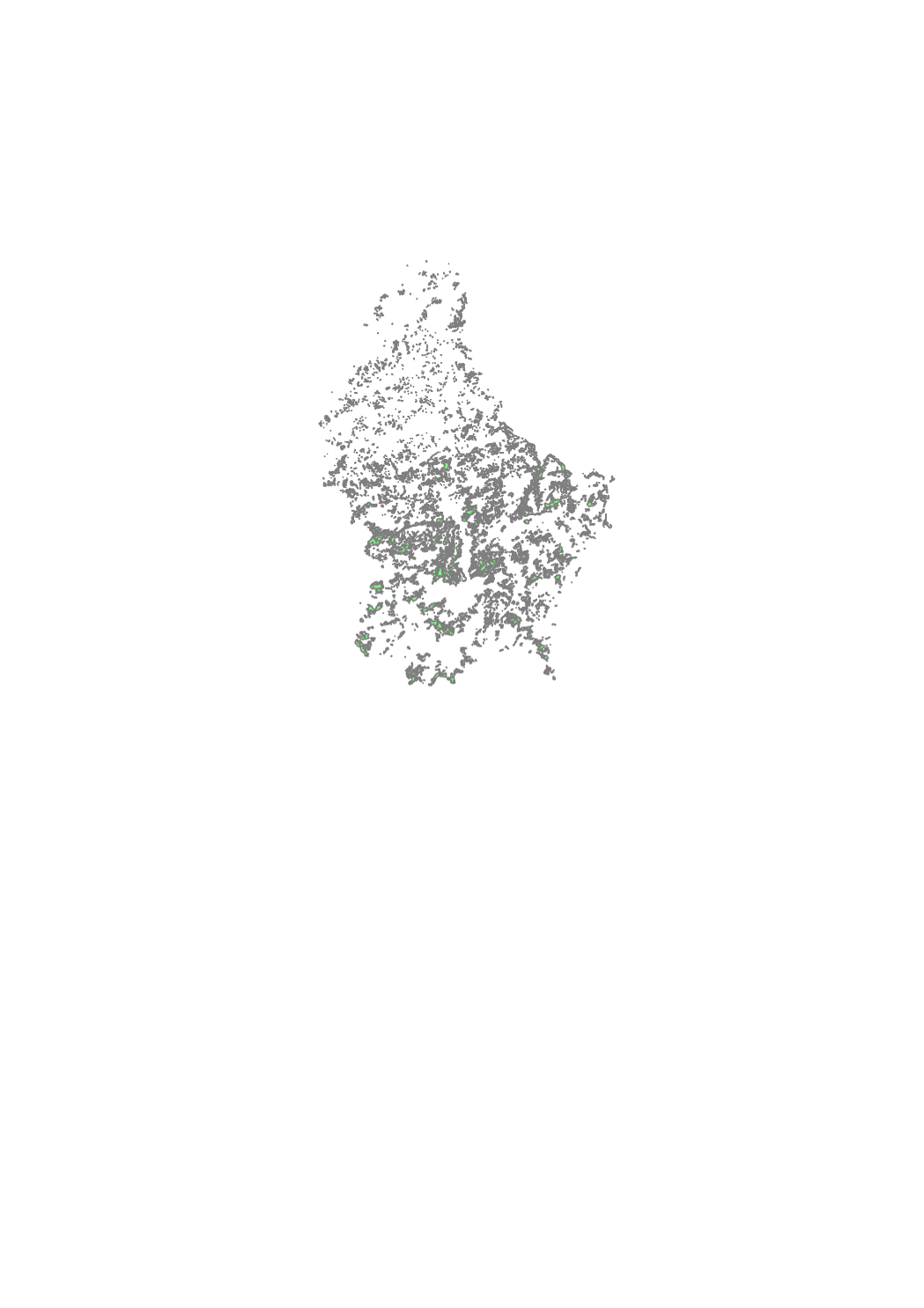
The map of the protected natural forests in the Grand-Duchy of Luxembourg is the result of a cartography of private and public forests in the framework of which data on forest formations protected under article 17 of the amended law of the 19th January 2004 concerning the protection of nature and natural resources (Nature Protection Law) were collected. The cartography was compiled in 2014 and is based on phytosociological field inventories of all the forest formations in the Grand-Duchy, realised during the years 1992-2002. None of the data collected and mapped between 1992 and 2002 have been updated by further inventories or by verification in the field. The “2014” map of protected natural forests thus reflects the situation as recorded during the years 1992-2002. Due to natural developments and changes induced through forest management since the original inventories (around 20 years ago), the actual situation encountered in the field today can differ from that shown in the “2014” map. The map can therefore only serve as a support tool for forest owners in the framework of article 17 conform forest management of natural forests protected by Nature Protection Law. In any case, the information it contains must be confirmed and, if necessary, updated in the field. Some protected forest formations have not been mapped in the original cartography and are therefore not represented in the simplified map: i.e. forest borders, copses and conversion or transformation states of coppice to high forest. Neither are small-area biotopes such as sources, natural ponds, rock formations, and so on represented on the map. They are nevertheless subject to protection under article 17 of the Nature Protection Law. All forest formations that are not protected under article 17 figure on the map as seen on the topographic maps of the Administration du Cadastre et de la Topographie. The guidance and best practice note ("Leitfaden für forstliche Bewirtschaftungs- und Pflegemaßnahmen von geschützten Waldbiotopen"), available online on the site of the Ministère du Développement Durable et des Infrastructures (http://www.environnement.public.lu/forets/dossiers/pfn/documents/Leitfaden_7_11_2014.pdf ), contains forest management recommendations helping to avoid the destruction, deterioration or degradation of the protected forests.
-
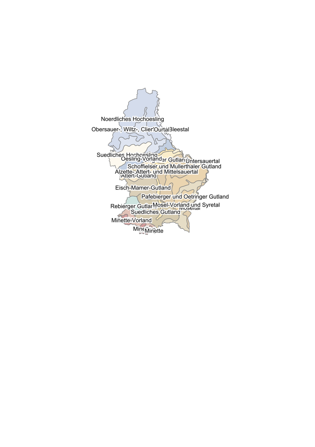
subdivision of the country in biogeoclimatic areas according to the ecological classification method based on climate, constitution of the mother rock and the ground: 18 ecological sectors
-

This layer contains information on potentially polluted sites (sites where use could have caused soil contamination). An entry in the database does not necessarily mean that the soil is polluted.
-
This layer contains the collection centres for wild roadkill and guts, as well as the openingg hours and contact.
-
The telemetry network consists of fixed and mobile measuring stations throughout Luxembourg located in rural, urban or peri-urban areas. The network measures air quality in real time and monitors the levels of key pollutants, including nitrogen dioxide, ozone and fine particulate matter. This network serves as a basis for informing and alerting the population, especially the sensitive people in case of pollution peaks. It is also in the context of improving public information that an app on air quality has been developed.
-
In 2022, the environmental administration organised a nationwide air quality measurement campaign in collaboration with 30 participating municipalities and Klima-Agence. More specifically, it is a national measurement campaign of NO2 by passive tubes in the context of the national air quality program and the "Klimapakt Loftqualitéit". The campaign aims to raise awareness and inform municipalities and their inhabitants about the air quality in their respective municipalities, motivate municipalities to contribute to improving their air quality, and demonstrate the efforts undertaken by municipalities for future communications.
-
The method used for the measurement of dust deposition is the standard Bergerhoff method with the corresponding collection instrument. The measurement points of the Bergerhoff network are almost always located near industrial sites known for their high dust emissions (e. g. steel and metal-producing industries).
-
The geostatistical interpolation map shows in real time the most probable distribution of the pollutant fine particles (PM10) between the different fixed measurement points that make up the telemetric network of Luxembourg, this at a resolution of 1km2.