Creation year
1829
Type of resources
Available actions
Topics
Keywords
Contact for the resource
Provided by
Groups
Years
Representation types
Update frequencies
status
Scale
From
1
-
5
/
5
-

This layer shows the parcel numbers, composed of main number and subnumber.
-

This layer shows the street names, as they are registered in the official town and street names database.
-

This layer shows the borders of the cadastral sections, administrative subdivisions of the 130 municipalities as they existed in the beginning of the 19th century, when the cadastre was created in Luxemburg.
-

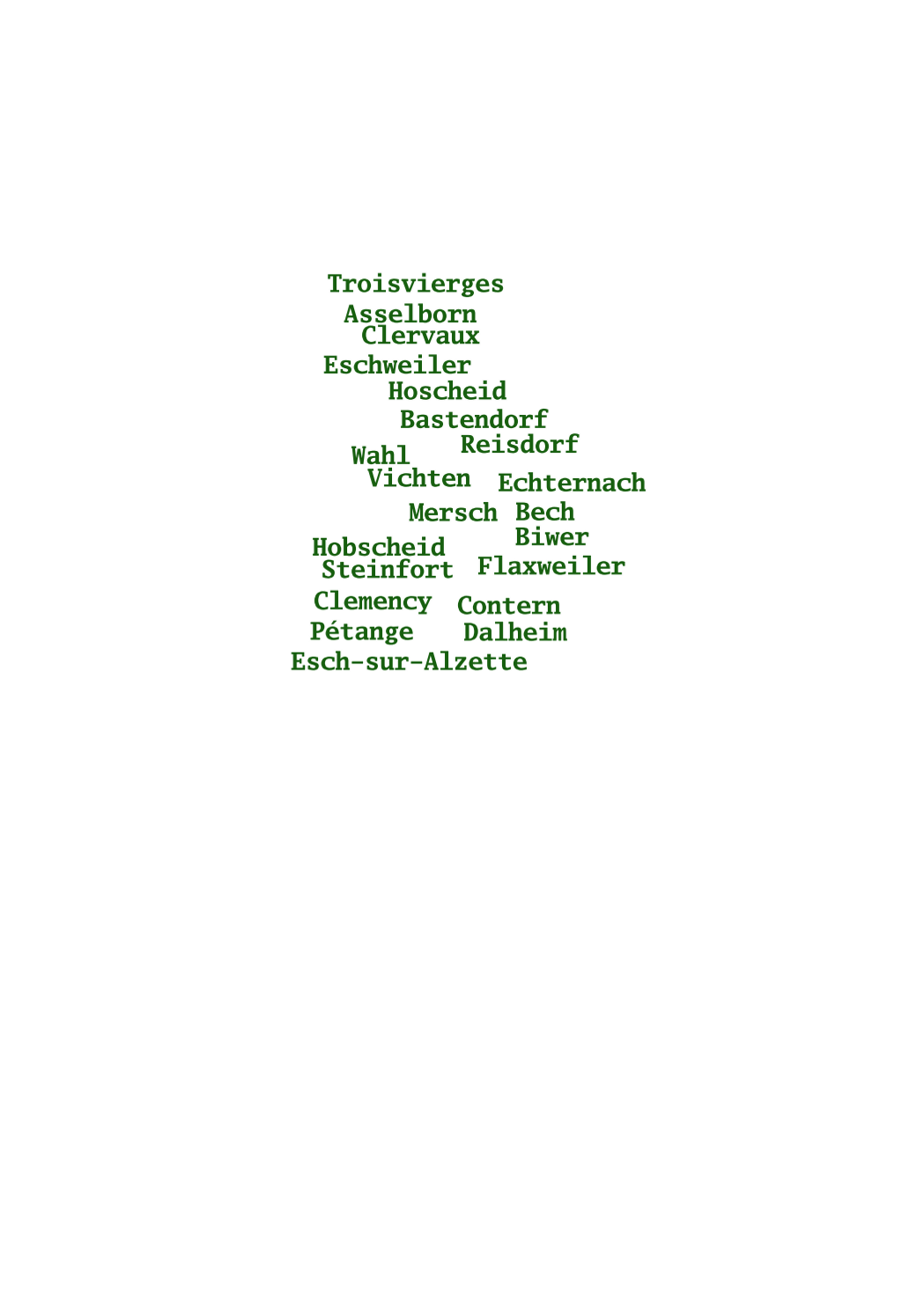
This layer shows the names of the 130 municipalities as they existed in the beginning of the 19th century, when the cadastre was created in Luxemburg.
-

This layer shows the borders of the 130 municipalities as they existed in the beginning of the 19th century, when the cadastre was created in Luxemburg.
 geocatalogue.geoportail.lu