 geocatalogue.geoportail.lu
25000
Type of resources
Available actions
Topics
Keywords
Contact for the resource
Provided by
Groups
Years
Representation types
Update frequencies
status
Scale
-
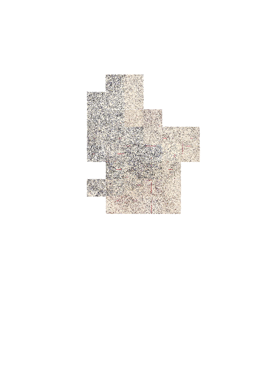
Map that has been used by the Germans during WWII. The map has been edited in September 1939 and represents a mix of existing mapsof Luxembourg (Hansen) and german maps. Later, triangulations points as well as luxembourgish coordinate reference lines have been added
-
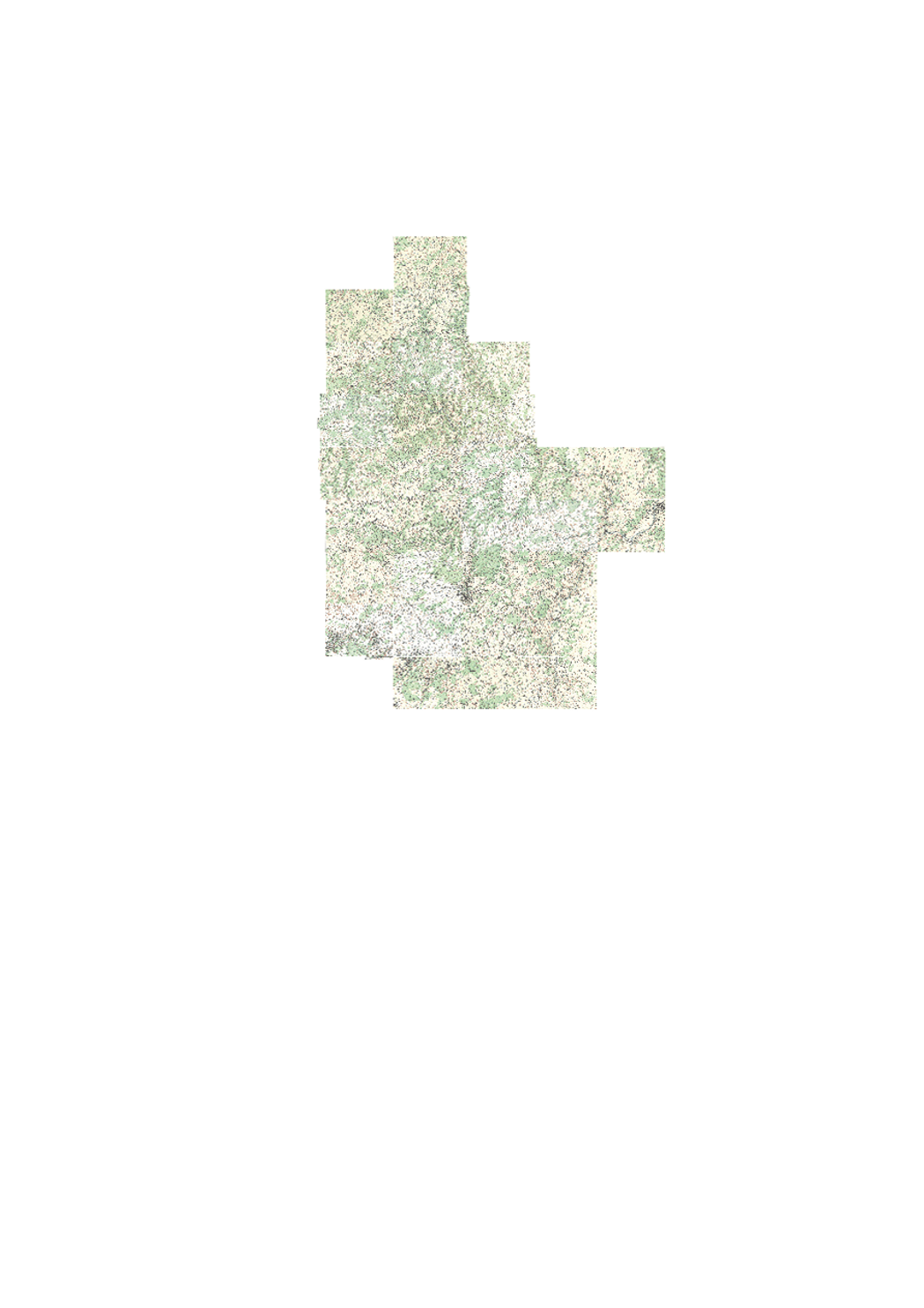
Historic topographic map edited in 1954.
-
This layer contains linear erosionrills identified on the basis of orthophotographs 2001-2020 for the erosion classification of medium and high risk parcels. Rills in lower categories can be requested on demand.This layer is visible during the public consultation from 01/03/2024 to 15/04/2024. Duly motivated objections should be sent to pedologie@asta.etat.lu.
-
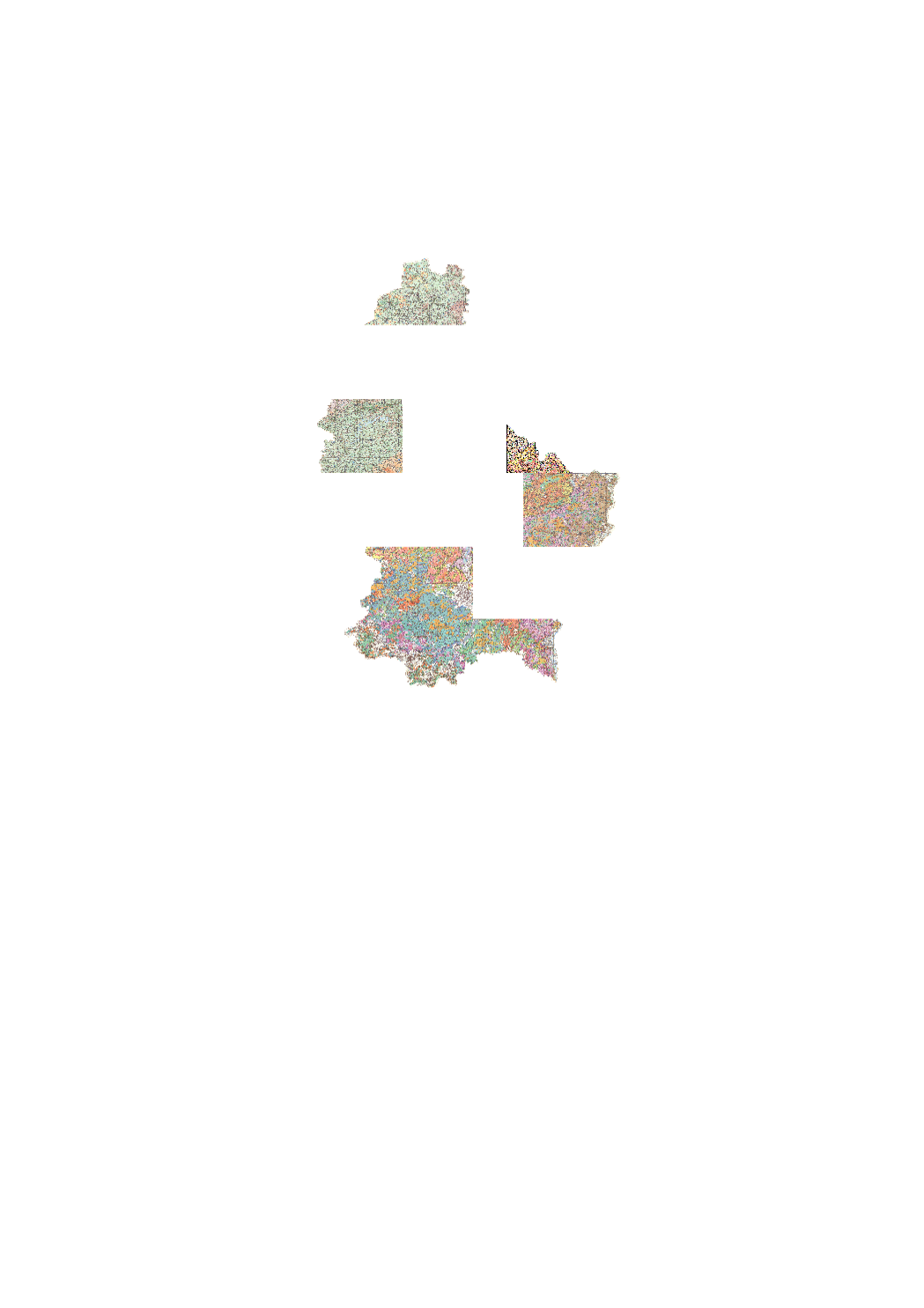
Detailed soil map on topographic background. The published set includes 7 sheets at a scale of 1:25000 (1964 1999).