 geocatalogue.geoportail.lu
planningCadastre
Type of resources
Available actions
Topics
Keywords
Contact for the resource
Provided by
Groups
Years
Representation types
Update frequencies
status
Scale
-

Le plan d’occupation du sol (POS) est un instrument d’aménagement du territoire rendu obligatoire par règlement grand-ducal et contenant un ensemble de prescriptions écrites et graphiques. Il délimite au niveau d’une ou de plusieurs communes une partie déterminée du territoire national qu’il divise en une ou plusieurs zones dont il arrête le mode d’utilisation du sol et dont il précise et exécute le cas échéant le mode d’utilisation du sol
-
Map that has been used by the Germans during WWII. The map has been edited in September 1939 and represents a mix of existing mapsof Luxembourg (Hansen) and german maps. Later, triangulations points as well as luxembourgish coordinate reference lines have been added
-
The digital topographic map 1:5000 is a graphic rendering of the digital topographic database BD-L-TC. The territory is divided in 261 map sheets of 3km x 4km.
-

This layer contains the region name from the cadastral map. It cannot be shown together with geodata of another type of precision.
-
This layer contains the road network’s axes of the Grand Duchy of Luxembourg. The data stems from the "communication routes" theme of the BD-L-TC (2015), enriched and completed by official data from the national street names and town name register (CACLR) and the addresses database (BD-Adresse), updated continuously.
-

This layer contains the contours of the map sheets of the original cadastral map for the actual territory of the Grand-Duchy of Luxembourg, as it has been created and updated between 1811 and 1832. Every polygon contains a link to the scanned document, that can be opened and downloaded in form of PNG files. It is one the set, which has been kept in the archives of the administration du cadastre et de la topographie. At the time of their original use, all the modifications that occured to the parcels were recorded on the map sheets themselves by erasing and drawing. This, as well as their regular use, may explain the imperfect state of some particular map sheets. A 2nd set of map sheets is kept in the national archives.
-
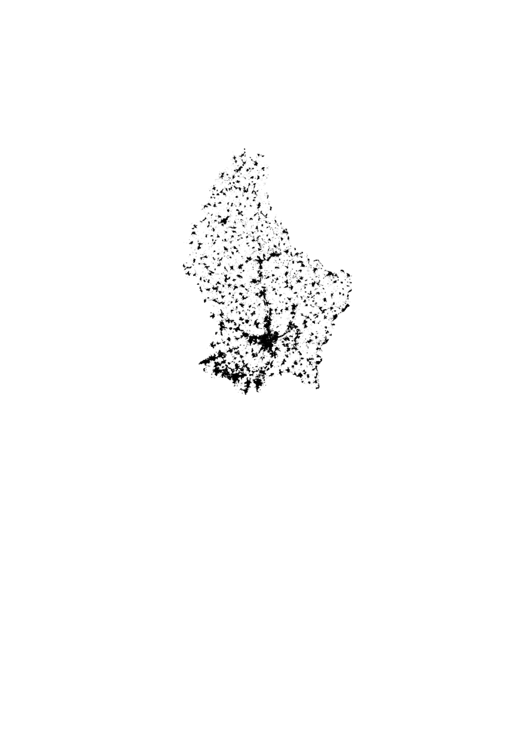
This layer contains the cadastral parcels of the cadastral database. It cannot be shown together with geodata of another type of precision.
-
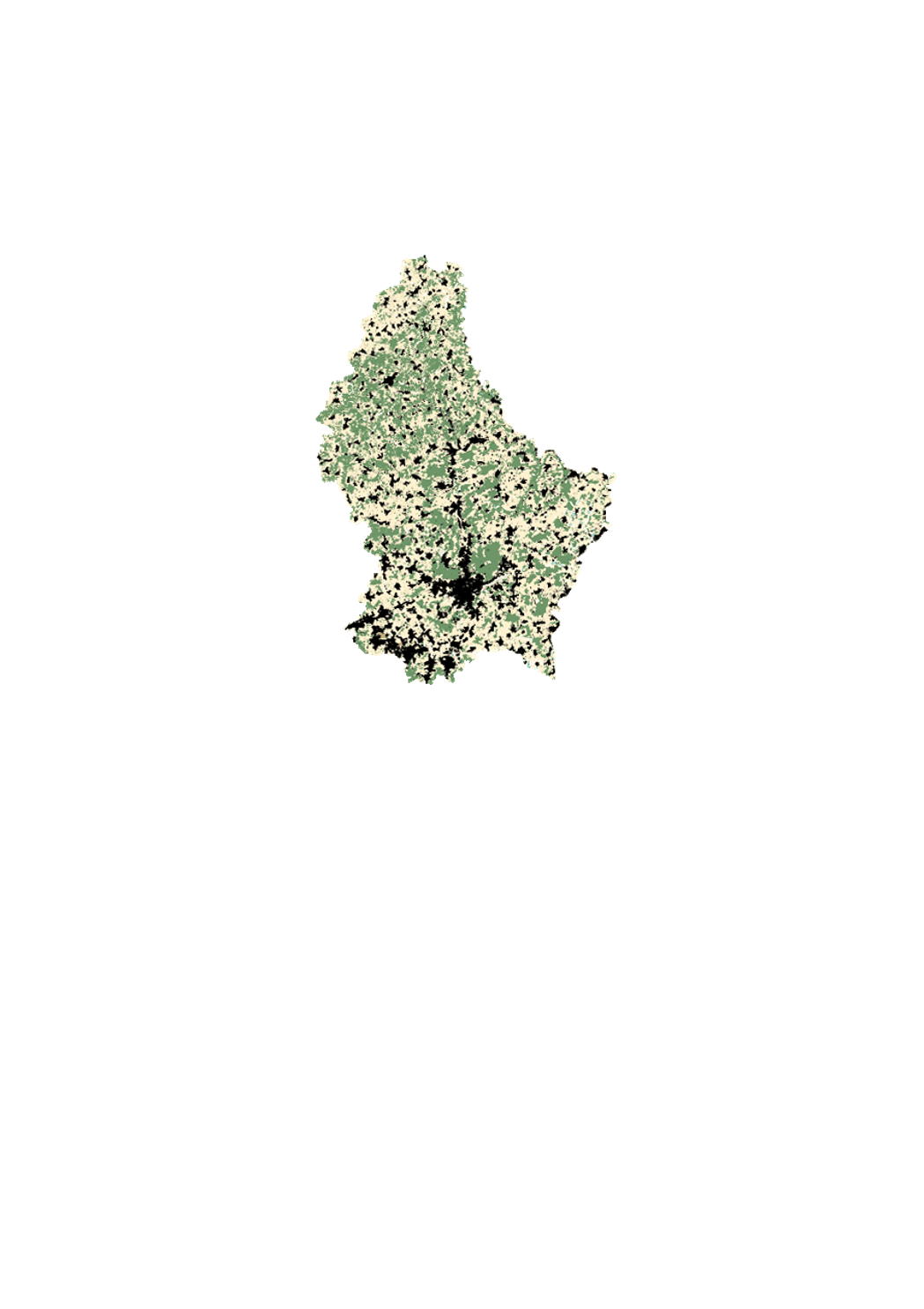
This layer contains the buildings from the cadastral map. It cannot be shown together with geodata of another type of precision.
-
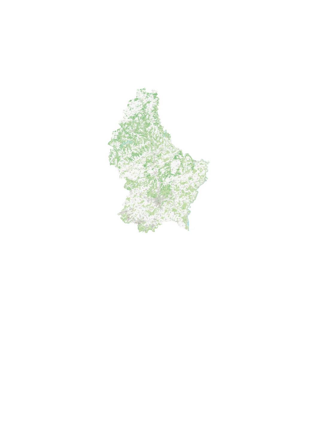
This layer contains the administrative municipality boundaries, which have been created based upon the cadastral database, after simplification.
-
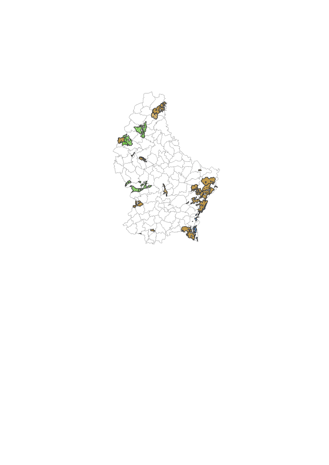
Zones defining where land consolidation has been done according to the law of 1964. This is useful in order to find out whether a parcel is concerned by the given law or not.