 geocatalogue.geoportail.lu
Creation year
2008
Type of resources
Available actions
Topics
Keywords
Contact for the resource
Provided by
Groups
Years
Representation types
Update frequencies
status
Scale
From
1
-
2
/
2
-
-
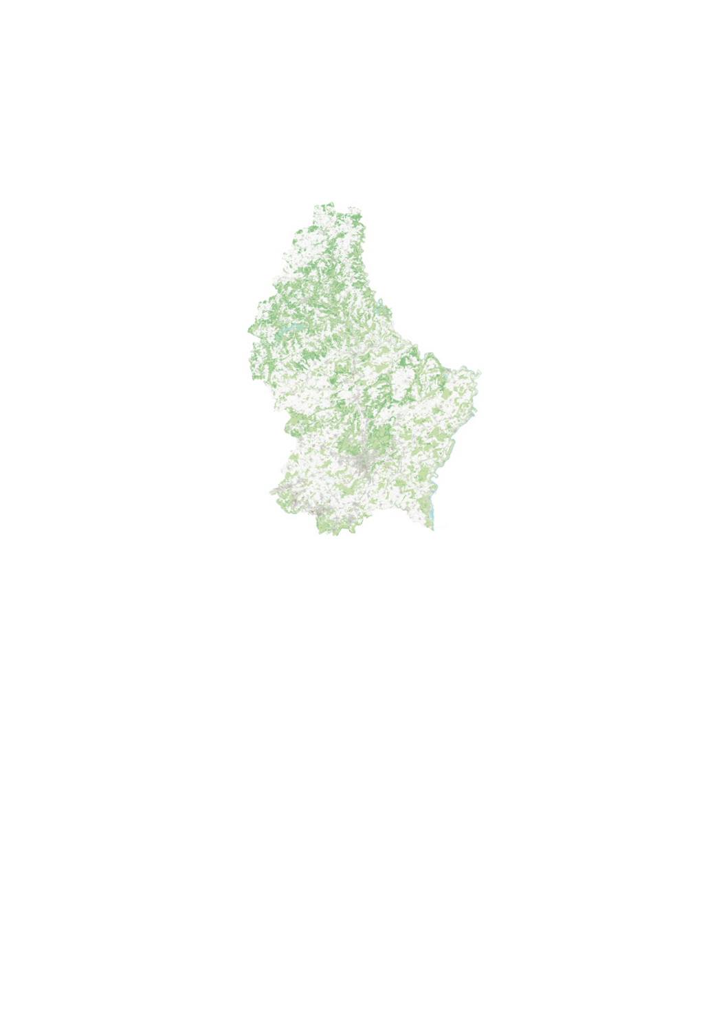
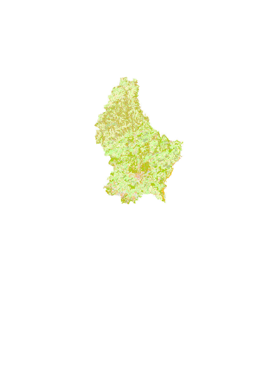
The digital topographic map 1:5000 is a graphic rendering of the digital topographic database BD-L-TC. The territory is divided in 261 map sheets of 3km x 4km.