 geocatalogue.geoportail.lu
Keyword
Grand-Duché du Luxembourg
Type of resources
Available actions
Topics
Keywords
Contact for the resource
Provided by
Groups
Years
Representation types
Update frequencies
status
Scale
From
1
-
10
/
1149
-
-
-

-

-
-

-

-
-

3D buildings with LOD 2.3 classification resulting from a proof of concept of 2017. The buildings are modelled based on a photogrammetric evaluation of aerial images from 2017 and are only available on a total area of 3 km2 in Diekirch and Bastendorf.
-
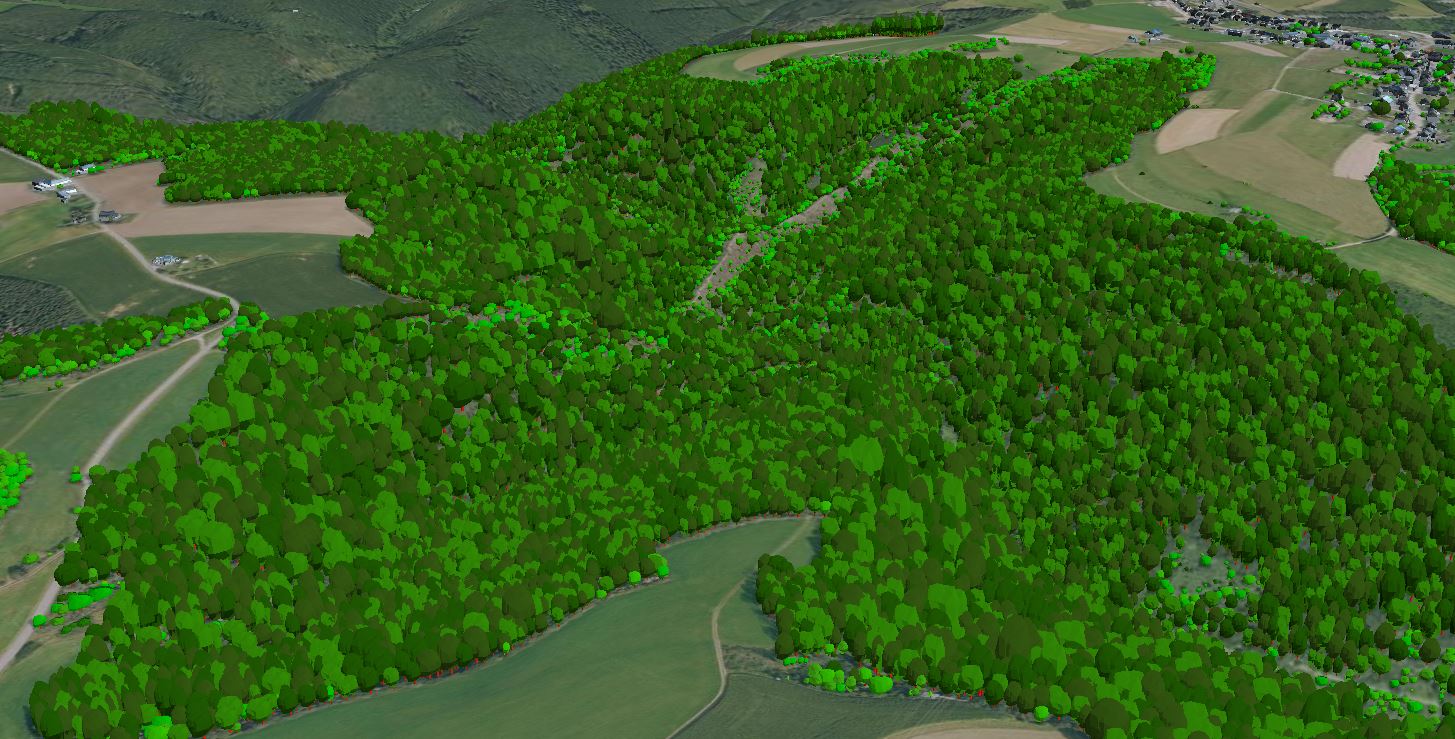
3D models of trees on the national territory of the Grand Duchy of Luxembourg, derived from the point cloud of the LiDAR survey in February 2019. The models do not correspond to the actual shape or type of the trees, but consist of a generalised model that has been scaled according to the tree parameters extracted from the point cloud.