 geocatalogue.geoportail.lu
geoscientificInformation
Type of resources
Available actions
Topics
Keywords
Contact for the resource
Provided by
Groups
Years
Representation types
Update frequencies
status
Scale
-
This layer contains the orthophoto 2001.
-
This layer contains the points of the official height reference points of the Grand-Duchy of Luxemburg.
-
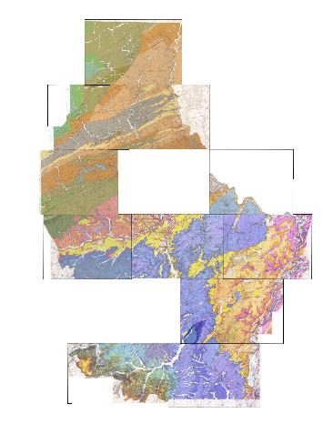
Geological overview map 1:100k 1992
-
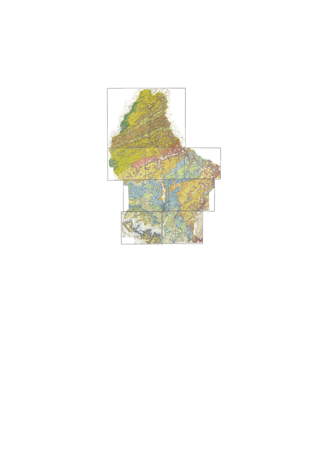
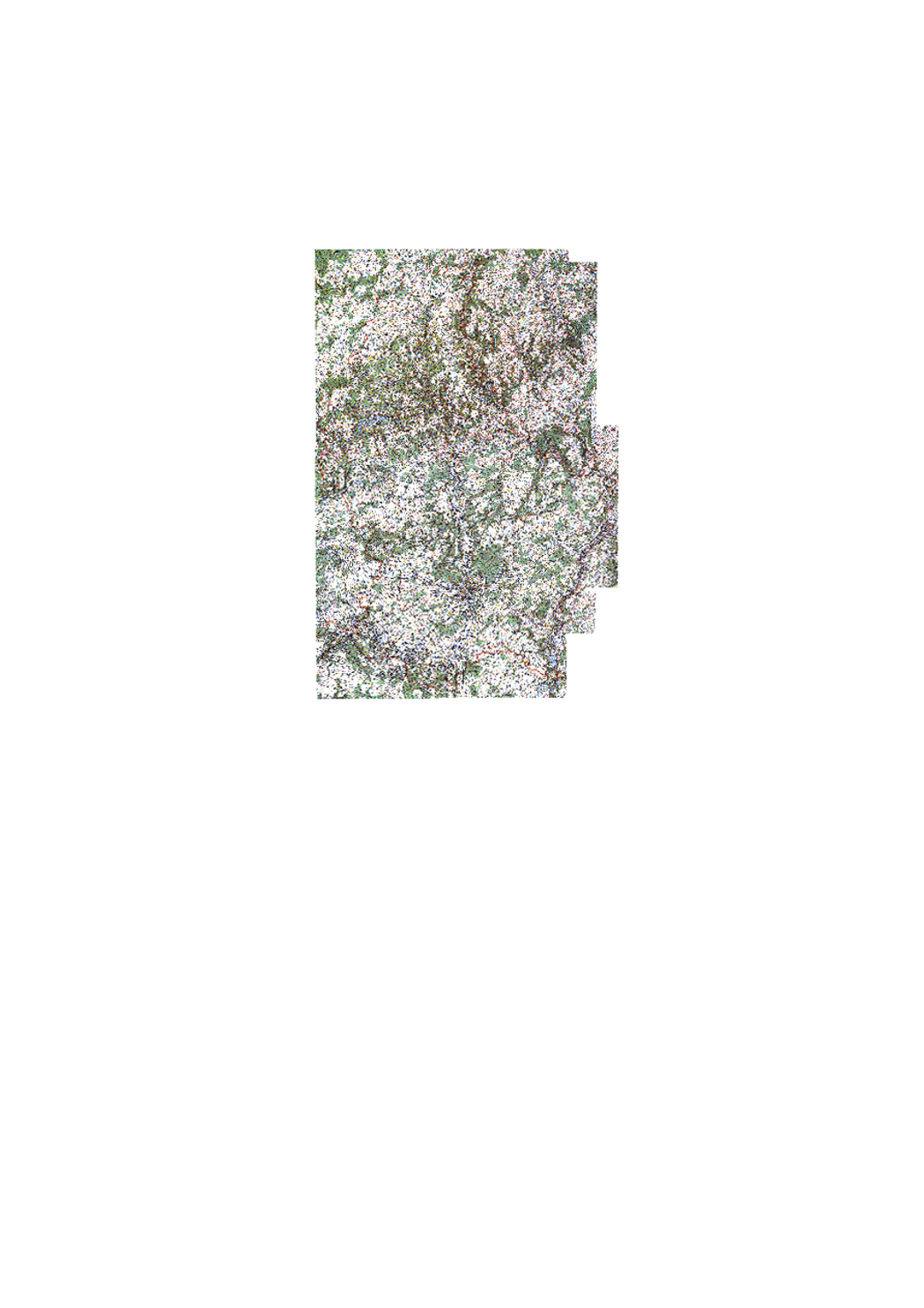
Detailed map of surface geology, in colors, with legende; on simple topographic background. "Old edition", from 1947 to 1949 by Michel Lucius. This dataset has 7 sheets at a scale of 1:25000 and 1 sheet at a scale of 1:50 000, 6 are available as originals and 2 as color copies: 1 - Ech/Alzette 1:25000 (color copy), 2 - Remich 1:25000, 3 - Luxembourg 1:25000 (color copy), 4 - Grevenmacher 1:25000, 5 - Redange 1:25000, 6 - Diekirch 1:25000, 7 - Echternach 1:25000, 8 - Wiltz 1:50000. Annotation booklets are available for some sheets: https://geologie.lu/index.php/telechargements .
-
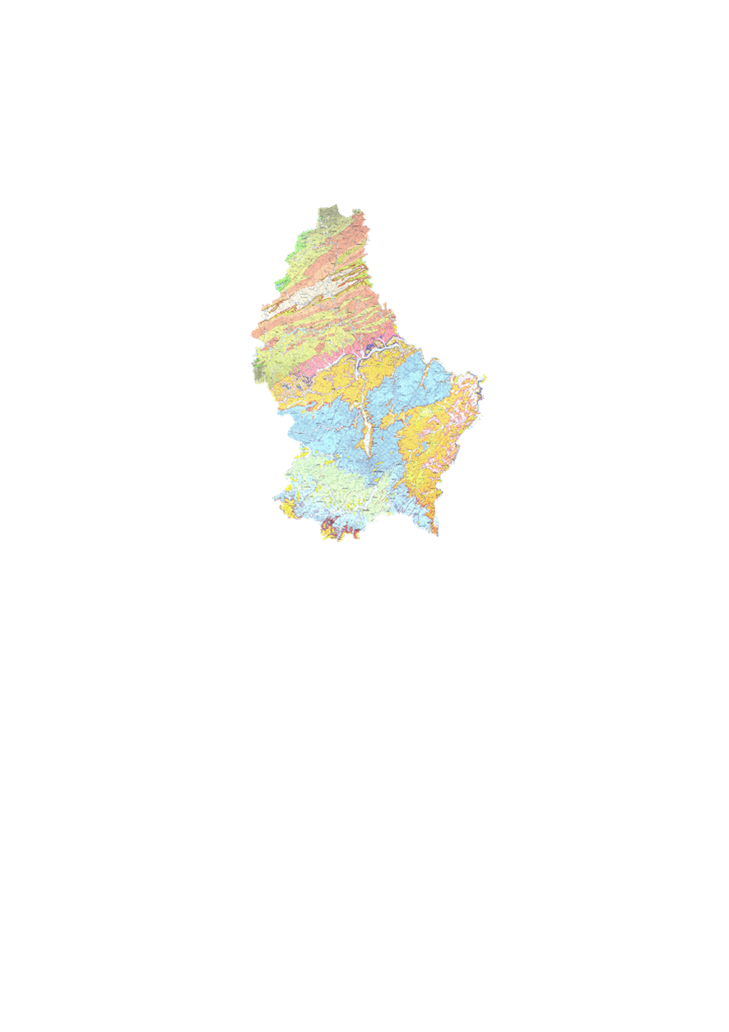
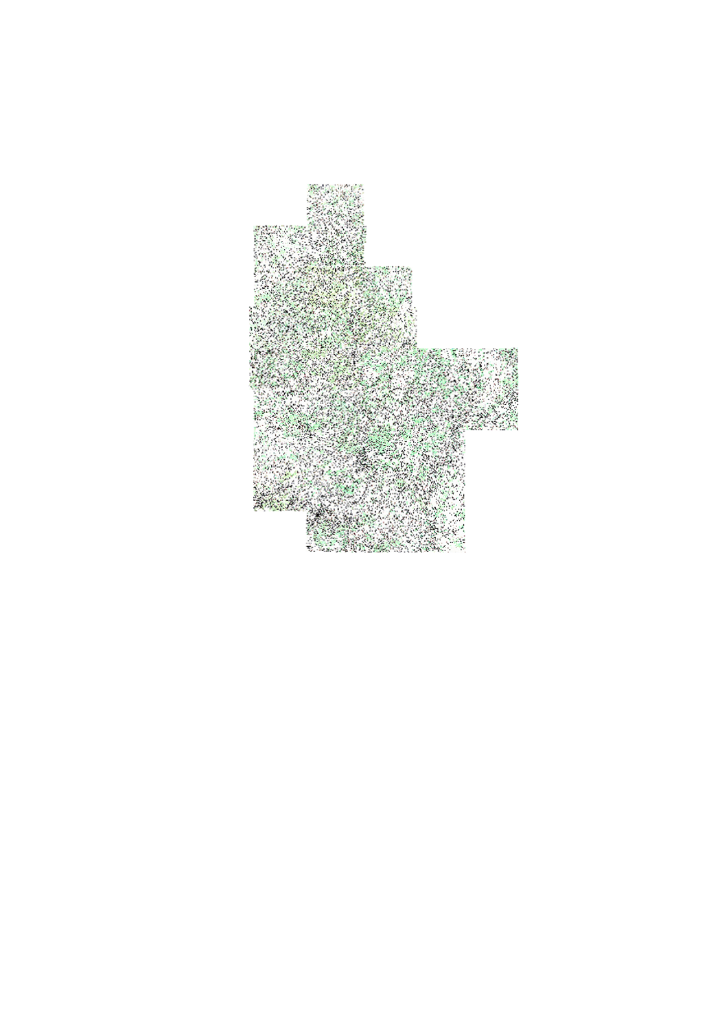
Detailed of surface geology, in 25 colors, with legend, geological cross-sections and lithologic and stratigraphic scale; on detailed topographic background with height curves. "New edition", from 1971 until today. This map series has 13 sheets at a scale of 1:25000, 11 of which are available (2024): 1 - Troisvierges, 2 - Wiltz, 3 - Clervaux, 4 - Esch/Sûre, 6 - Beaufort, 7 - Redange, 8 - Mersch, 9 - Echternach, 11 - Grevenmacher, 12 - Esch/Alzette, 13 - Remich. Annotation booklets available for some maps under https://geologie.lu/index.php/telechargements .
-
Historic topographic map edited in 1964 scanned
-
Historic topographic map edited in 2000
-
Historic topographic map edited by Hansen.
-
Historic topographic map edited in 1954.
-
Historic topographic map edited in 1993