 geocatalogue.geoportail.lu
500
Type of resources
Available actions
Topics
Keywords
Contact for the resource
Provided by
Groups
Years
Representation types
Update frequencies
status
Scale
-

The sound pressure immission levels measured continuously by the Air Navigation Authority's Environment Monitoring Unit were analysed and expressed as the long-term indicators Lden and Lnight of directive 2002/49/EC for a reference year.
-
This layer contains an orthophoto with a ground resolution of 40 cm of the Grand Duchy of Luxembourg from 1994. It is based on a total of 600 scanned aerial images, which were georeferenced in a first step. The high-altitude aerial survey was carried out on 31 May 1994 at a scale of 1:30,000 by the Institut Géographique National - IGN-Creil SAA (France). The origin of the images is the archives of the Administration du Cadastre et de la Topographie (ACT) in Luxembourg. The orthophoto was calculated by the Division des Géomètres et de la Photogrammétrie (DGP) of the Administration des Ponts et Chaussées (Luxembourg Road Administration).
-
This layer contains the priority management zones.
-
-

-
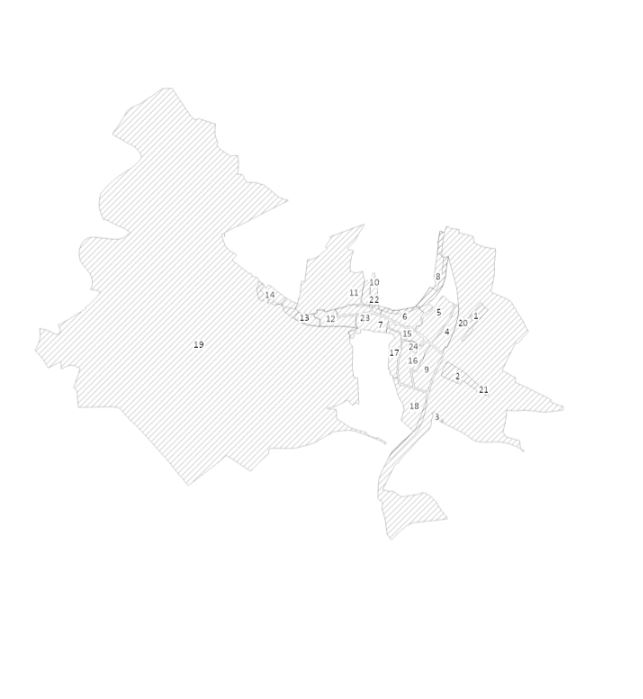
Cadastral parcels that are part of the public fluvial domain. The public fluvial domain is inalienable and imprescriptible, subject to granted rights and legally consummated alienations.
-

-

-
-
This layer shows the occurrences of fungi species that are protected by the Grand-Ducal Regulation of 8 January 2010 concerning the full and partial protection of certain species of wild flora. Occurrences from the 1st January 2000 onwards are shown on the map with their original resolution as points or grid squares. Data come from the national database Recorder-Lux and from the international platforms GBIF.org and Inaturalist.org. They are accessed through the biodiversity map portal mdata.mnhn.lu.