 geocatalogue.geoportail.lu
intranet
Type of resources
Available actions
Topics
Keywords
Contact for the resource
Provided by
Groups
Years
Representation types
Update frequencies
status
Service types
Scale
-
This layer contains the rescue services situated in the nature parc Our
-
This layer contains the trails provided by the nature parc Our.
-
This layer contains the other services situated in the nature parc Our
-
Cette couche contient les indices de présence de castor relevés sur le terrain durant l’année 2024.
-

According to Articles 6 to 14 of Directive 2008/50/EC of the European Parliament and of the Council (15), the two following areas have been defined for Luxembourg: (1) One area, called here “Active”, groups historical LCPU and CES districts as well as all cities where a high urbanization degree (1 or 2) and cities with a lower degree but which are surrounded by cities with a higher degree and impacted by traffic. Some cities from the border of the country (Germany/Luxembourg) filling these criteria have also been considered. Isolated cities of the urbanization map belonging to the same district and located between cities with high level of urbanization and showing high level of traffic have also been included in the Active area. (2) The second area, called “Rural” represents the area of the country where the traffic, the density of inhabitants and the number of industries are low. The total number of inhabitants of this area would be 151097 for 2021.
-

Biowaste consists of biodegradable garden or park waste, food or kitchen waste from households, restaurants, caterers or retail stores, as well as comparable waste from food processing plants. Biowaste with a high water content, especially kitchen waste or food industry waste, is best suited for anaerobic digestion. The treatment of organic waste in anaerobic digestion plants makes it possible to produce biogas as well as a residue that can be used as a soil amendment.
-

Biowaste consists of biodegradable garden or park waste, food or kitchen waste from households, restaurants, caterers or retail stores, as well as comparable waste from food processing plants. Drier waste such as garden and park waste is best suited for composting. In composting facilities, organic waste is transformed by aerobic degradation into a product (compost) which can be used as a soil amendment.
-

Landfill for residual municpal waste and other non-hazardous waste
-
This layer contains the proportion of foreign persons among the population by municipality recorded during the population census of the 8th November 2021.
-

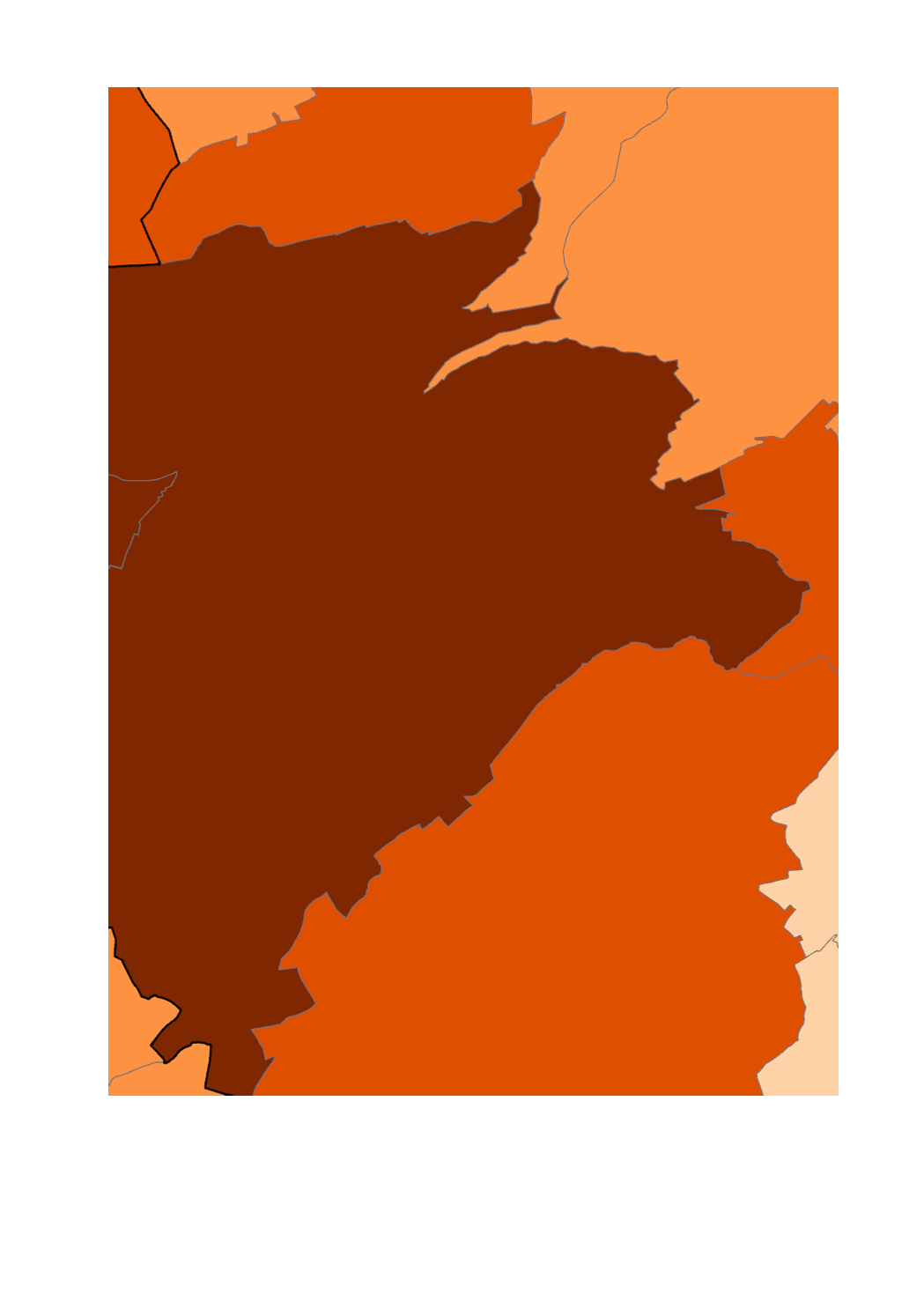
This layer contains the proportion of Belgiums among the population by municipality recorded during the population census of the 8th November 2021.