 geocatalogue.geoportail.lu
2021
Type of resources
Available actions
Topics
Keywords
Contact for the resource
Provided by
Groups
Years
Representation types
Update frequencies
status
Scale
-

-

Introduced in 2003 by Directive 2003/87/EC, the greenhouse gas emissions trading system (ETS) is a political instrument in the fight against climate change and an essential tool for reducing greenhouse gas emissions. Industrial operators included in the system according to the rules set by the directive must monitor, declare and have their emissions verified in order to restitute a number of allowances in the EU ETS registry that is equal to their CO2 emissions. To do this, they can receive emission allowances for free, buy allowances or sell allowances.
-
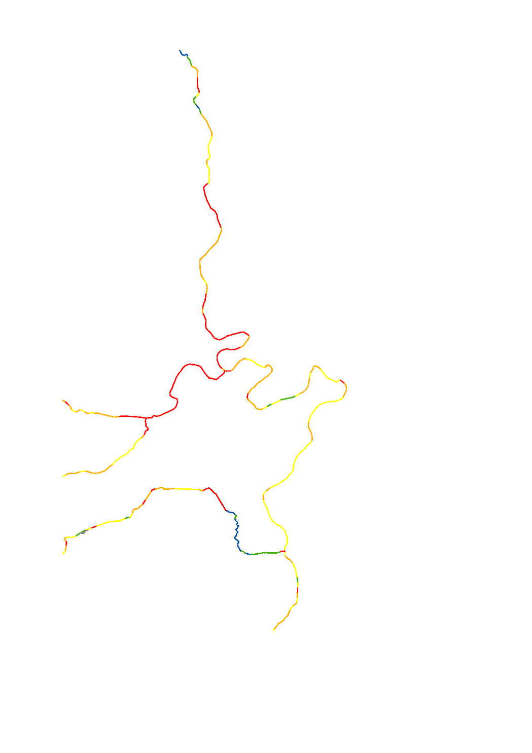
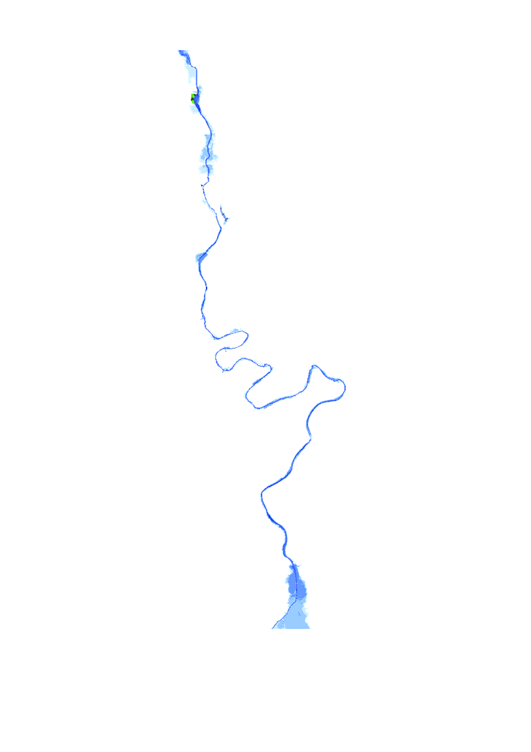
The hydromorphological status was determined by a monitoring compliant with the Water Framework Directive (Directive 2000/60/EU). The elaboration of a structural quality mapping is one part of this monitoring. Within the scope of the work on the structural quality mapping, a total of 31 parameters in the area of the river bed, the river bank and the floodplain are assessed so that the structural quality mapping contains detailed information on the river morphology and the river continuity. In this case, the evaluation of the mapped sections is based on five classes. The results of the evaluation were aggregated into an overall evaluation per mapped section.
-
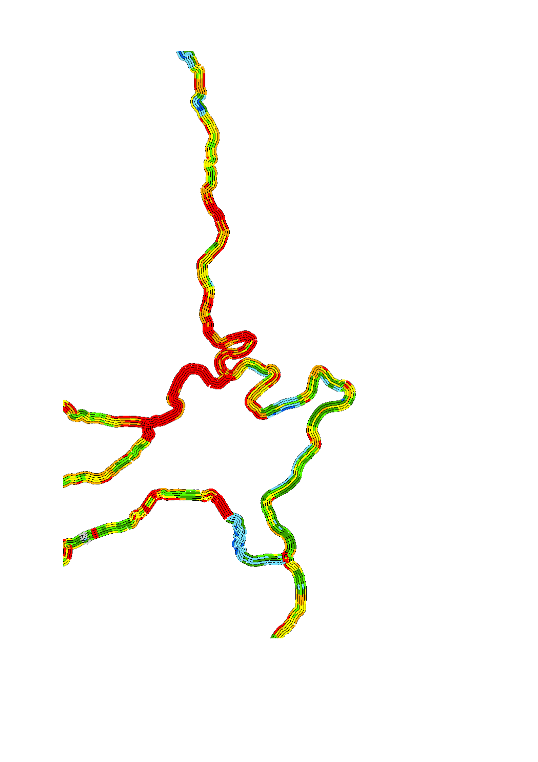
The hydromorphological status was determined by a monitoring compliant with the Water Framework Directive (Directive 2000/60/EU). The elaboration of a structural quality mapping is one part of this monitoring. Within the scope of the work on the structural quality mapping, a total of 31 parameters in the area of the river bed, the river bank and the floodplain are assessed so that the structural quality mapping contains detailed information on the river morphology and the river continuity. In this case, the evaluation of the mapped sections is based on five classes. The areas river bed, left river bank, right riverbank, left floodplain and right floodplain are represented in 5 strips.
-
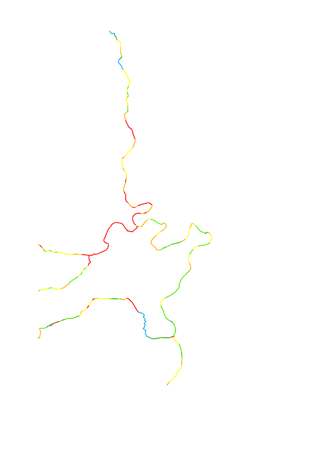
The hydromorphological status was determined by a monitoring compliant with the Water Framework Directive (Directive 2000/60/EU). The elaboration of a structural quality mapping is one part of this monitoring. Within the scope of the work on the structural quality mapping, a total of 31 parameters in the area of the river bed, the river bank and the floodplain are assessed so that the structural quality mapping contains detailed information on the river morphology and the river continuity. In this case, the evaluation of the mapped sections is based on seven classes. The results of the evaluation were aggregated into an overall evaluation per mapped section.
-

Introduced in 2003 by Directive 2003/87/EC, the greenhouse gas emissions trading system (ETS) is a political instrument in the fight against climate change and an essential tool for reducing greenhouse gas emissions. Industrial operators included in the system according to the rules set by the directive must monitor, declare and have their emissions verified in order to restitute a number of allowances in the EU ETS registry that is equal to their CO2 emissions. To do this, they can receive emission allowances for free, buy allowances or sell allowances.
-
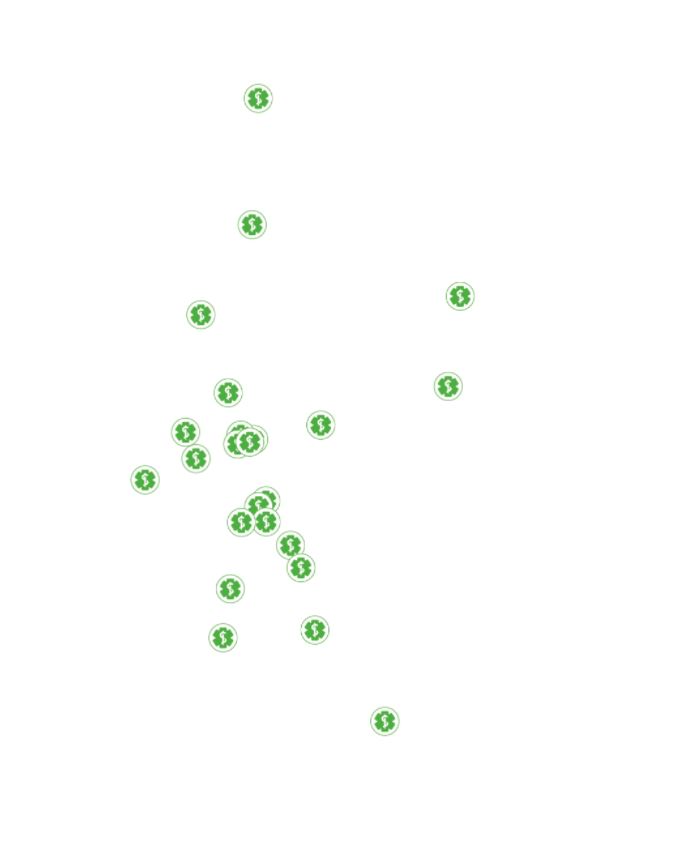
This layer contains the pharmacies of the Grand Duchy of Luxembourg
-
Flood hazard map, indicating the floodplain and the water depth of a 50-year flood event.