 geocatalogue.geoportail.lu
inlandWaters
Type of resources
Available actions
Topics
Keywords
Contact for the resource
Provided by
Groups
Years
Representation types
Update frequencies
status
Scale
-
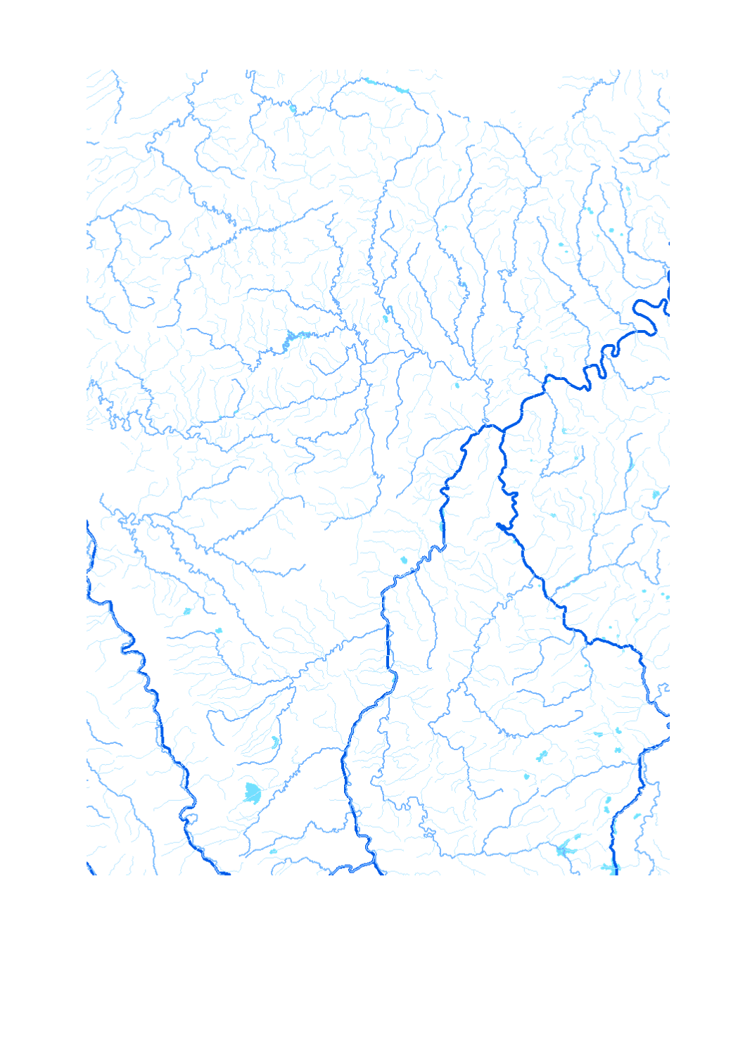
Waterway network of the Greater Region - Data sources: EuroGeographics EuroRegionalMap v3.0 - 2010; ESRI 2006. Harmonization: SIG-GR / GIS-GR 2012
-
All natural water expanses and basins.
-
Station serving to pump water up to a higher point.
-
The evaluation of the hydromorphological structure of surface water is made in two steps: First the method for the surface water development ability is applied. For this method the current structure of the surface water is analyzed for the different surface water sections. Constructing on the section-referred evaluation a total evaluation of the surface water development ability per surface water body takes place.
-
Repertoire of all wetlands in Luxembourg as marshy lands and areas and alluvial forests.
-
Status of the water bodies 2009
-

Drinking water shortage (level « red »)
-

Chemical status of the water bodies 2009
-
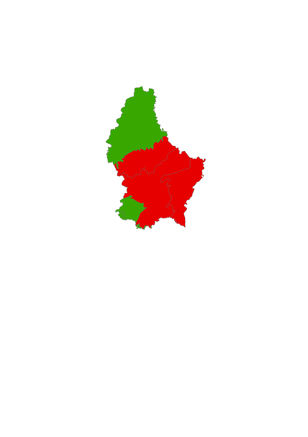
According to the ordinance of april 16, 2021 of the sanitary protection zones of the Upper Sûre lake, the temporary storage of silage as mentioned in point 6.12.2. (Index 27) of the appendix II, compost (point 6.17.2., index 29, appendix II) and manure as mentioned in point 6.18.2. (index 30) of the appendix II on sub-parcels of the protection zones IIC and III that show a slope of less than 5% is allowed, respecting certain conditions. Citizens concerned can use the map to see which sub-parcels within the agricultural areas are affected.
-
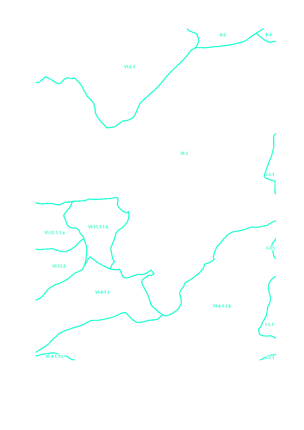
The surface water of Luxembourg are subdivided in 106 water bodies. The identification of water bodies is based on geographical and hydrological determinants. 3 surface water bodies are integrated in the river basin of the "Chiers", part of the river basin district of the Meuse. 103 surface water bodies are integrated in the river basin of the "Moselle", part of the river basin district of the Rhine.