 geocatalogue.geoportail.lu
environment
Type of resources
Available actions
Topics
Keywords
Contact for the resource
Provided by
Groups
Years
Representation types
Update frequencies
status
Scale
-
The biotope cadaster of the open landscapes maps a selection of rare and endangered biotopes protected by Article 17 of the modified law of 18 July 2018 on the protection of nature and natural resources. This inventory is an aid to identifying and locating rare and threatened habitats and biotopes that are difficult or ambiguous to recognise in the field. Clearly identifiable biotopes such as hedges, scrub and copses, as well as watercourses, have not been mapped as part of this inventory, but are also subject to the strict protection regime imposed by article 17. The reduction, destruction or deterioration measures that are prohibited are specified in the amended Grand Ducal Regulation of 1 August 2018 establishing the protected biotopes, habitats of Community interest and habitats of species of Community interest for which the conservation status has been assessed as not favourable. The ‘latest data’ layers contain the most recent evaluations: they include both reassessments of certain biotopes and the original evaluations, where no reassessment is available. The layers that can be consulted in the ‘Biotope cadaster - time slider’ section can be used to display ‘historical’ data, replaced by reassessments in the ‘latest data’ layer. Thus, the 2014 layer in the time slider contains the shapes of the initial mapping carried out between 2007 and 2012. Since 2016, each year a sample of sites has been reevaluated. The images from 2016 onwards contain both (re)assessments of individual biotopes and shapes of the initial mapping if no reassessment was available. It is possible that a reassessment is included in a later layer. To see in which year a (re)assessment took place, note the information ‘Year of recent inventory’ in the info window that opens when you left-click on the biotope in question. It should be noted that biotope destruction will be penalised in accordance with the law, even if the biotope area is not (or no longer) shown in the biotope cadaster. Further information on the biotope cadaster of the open landscapes can be found here: https://environnement.public.lu/fr/natur/biodiversite/mesure_4_cadastre_biotopes.html
-
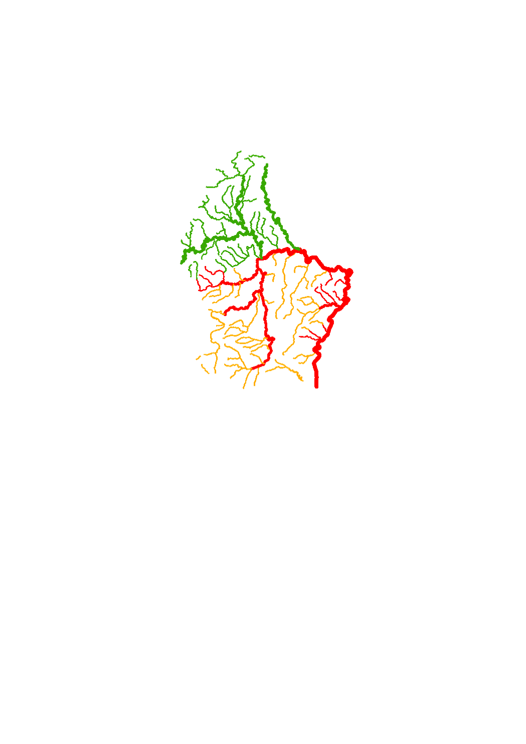
With regard to the implementation of the Water Framework Directive, specific types of watercourses have been designated for Luxembourg. As in the context of various works the German stream types (LAWA types) are used, these have also been assigned to the Luxembourgish surface water bodies.
-
Biosphere reserves in 2022: buffer zones - Data sources: Ministère de l’Environnement, du Climat et du Développement durable (LU), Ministère de l’Énergie et de l’Aménagement du territoire (LU), Biosphärenzweckverband, LVGL, Ministerium für Umwelt und Verbraucherschutz Saarland, Parc naturel régional des Vosges du Nord, Naturschutzverwaltung Rheinland-Pfalz. Harmonization: SIG-GR / GIS-GR 2022
-
National park Hunsrück-Hochwald in 2022: Buffer zone 2 - Data source: Naturschutzverwaltung Rheinland-Pfalz. Adaptation: SIG-GR / GIS-GR 2022
-
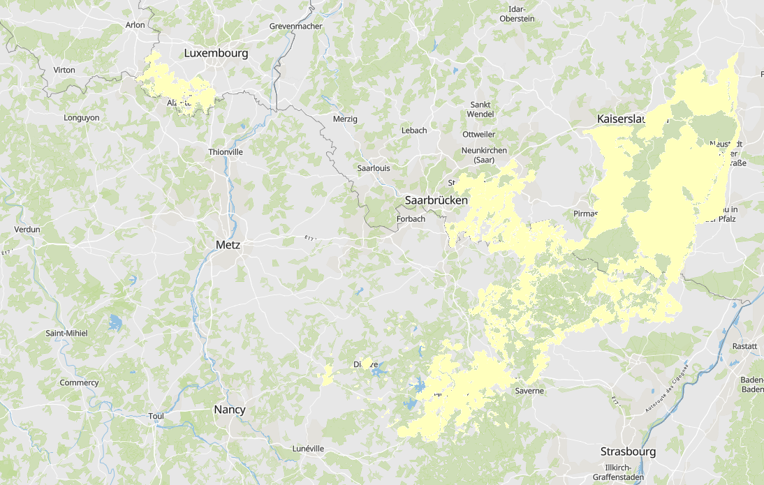
Biosphere reserves in 2022: transition zones - Data sources: Ministère de l’Environnement, du Climat et du Développement durable (LU), Ministère de l’Énergie et de l’Aménagement du territoire (LU), Biosphärenzweckverband, LVGL, Ministerium für Umwelt und Verbraucherschutz Saarland, Parc naturel régional des Vosges du Nord, Naturschutzverwaltung Rheinland-Pfalz. Harmonization: SIG-GR / GIS-GR 2022
-
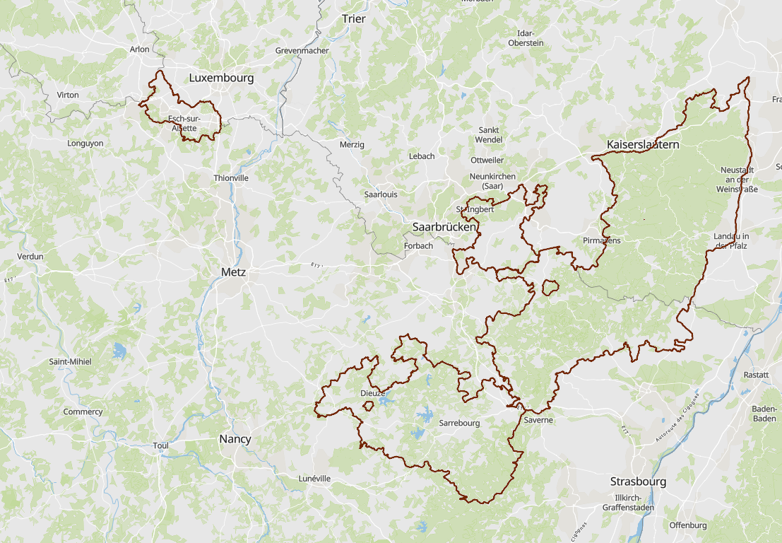
Biosphere reserves in 2022: delimitation - Data sources: Ministère de l’Environnement, du Climat et du Développement durable (LU), Ministère de l’Énergie et de l’Aménagement du territoire (LU), Biosphärenzweckverband, LVGL, Ministerium für Umwelt und Verbraucherschutz Saarland, Parc naturel régional des Vosges du Nord, Naturschutzverwaltung Rheinland-Pfalz. Harmonization: SIG-GR / GIS-GR 2022
-
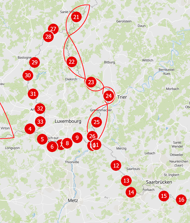
Cross-border ecological transitions 2022 - Data sources: Sub-working group "Biodiversity / Natura 2000" of the Greater Region Summit" in cooperation with GIS-GR
-
Biosphere reserves in 2022: core zones - Data sources: Ministère de l’Environnement, du Climat et du Développement durable (LU), Ministère de l’Énergie et de l’Aménagement du territoire (LU), Biosphärenzweckverband, LVGL, Ministerium für Umwelt und Verbraucherschutz Saarland, Parc naturel régional des Vosges du Nord, Naturschutzverwaltung Rheinland-Pfalz. Harmonization: SIG-GR / GIS-GR 2022
-
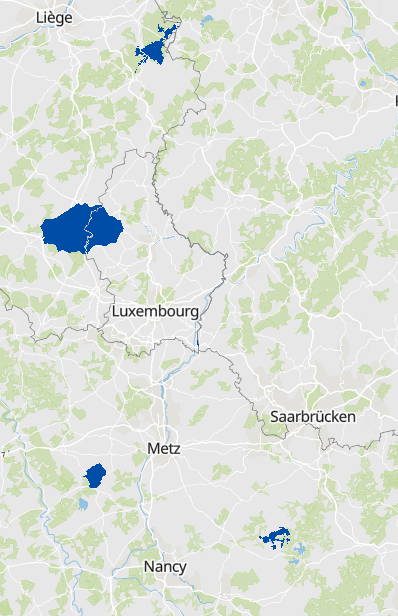
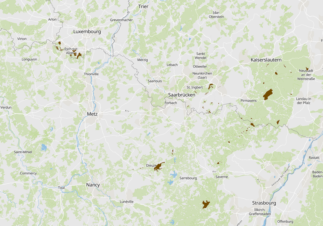
Ramsar sites in 2022 - Data sources: Ramsar Convention Secretariat, Naturschutzverwaltung Rheinland-Pfalz, Muséum national d'Histoire naturelle (FR). Harmonization: SIG-GR / GIS-GR 2022
-
In the detailed programme of measures, the types of measures related to hydromorphology (HY) and urban wastewater management (SWW) which are defined in the catalogue of measures of the second river basin management plan, were assigned to the individual water bodies. The objective of this assignation is to identify for each water body those measures that will help to reduce the pressures and deficits present in the water body, thereby improving its status or maintaining its good status.