 geocatalogue.geoportail.lu
2017
Type of resources
Available actions
Topics
Keywords
Contact for the resource
Provided by
Groups
Years
Representation types
Update frequencies
status
Scale
-
The chemical status of the surface water bodies is assessed as being good or failing to achieve good chemical status. The assessment of the chemical status for the second river basin management plan is based on the list of substances of directive 2008/105/EC as well as its environmental quality standards. The assessment without the ubiquist substances permita to get a differentiated picture of the actual situation.
-
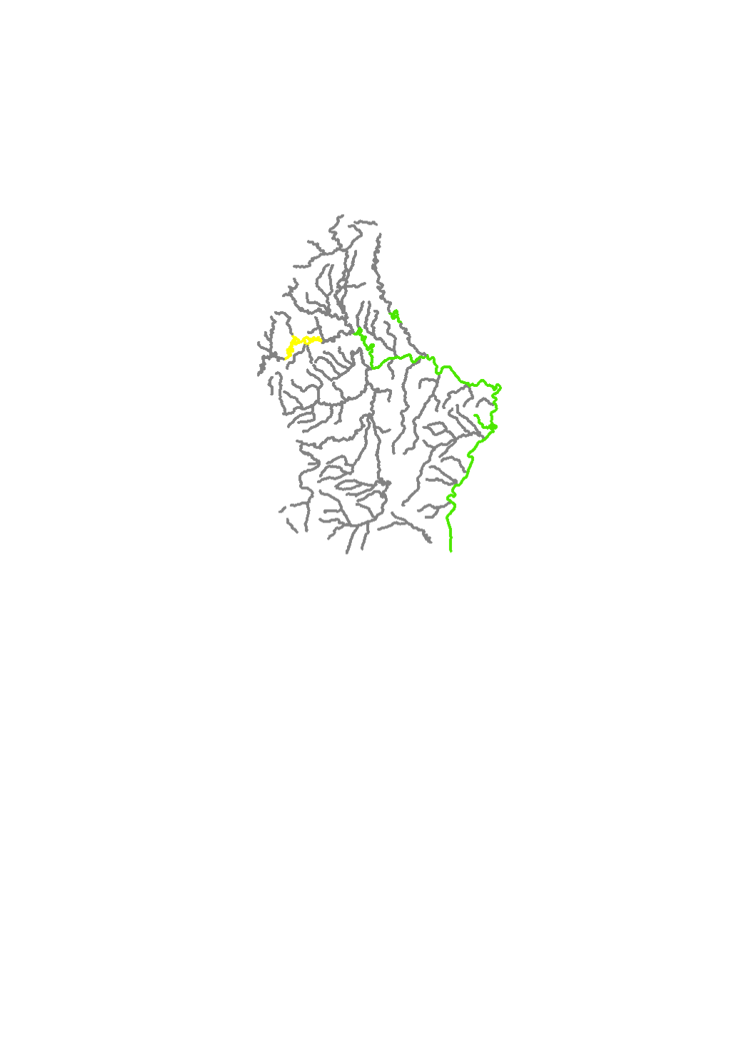
Phytoplancon is one of the 4 biological quality elements (BQE) for the assessment of the ecological status of the natural water bodies. The evaluation of this BQE is only relevant for the large rivers where the quantity of phytoplancton is significant and can be evaluated. The natural water bodies of typology VI present significant phytoplancton concentrations to allow an assessment. Some of the heavy modified waterbodies (HMWB) present significant phytoplancton concentrations too, these are the HMWB Sûre (WB III-2.2.1) and the HMWB Our (WB V-1.2). The annual frequency for phytoplancton monitoring is 6 samples between April and October.
-
This layer contains the discharge points of the existing discharge structures (stormwater overflow basins, stormwater overflows and pumping stations with overflow)
-

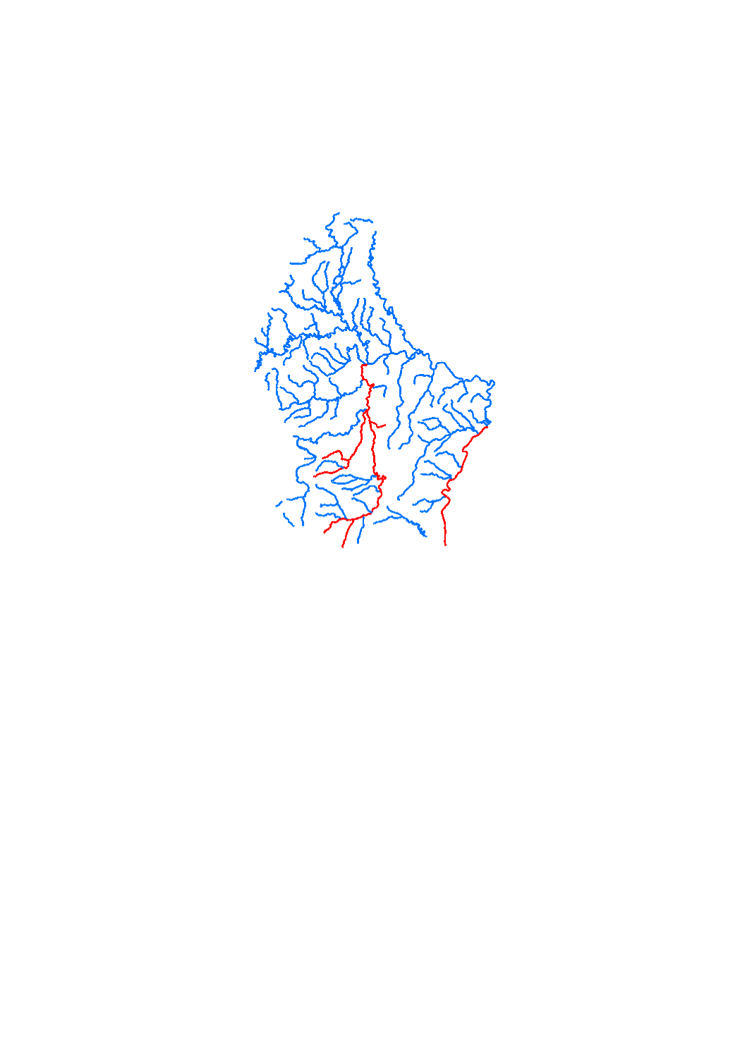
Watercourses with a significant risk of flooding
-
Measures for protection against flooding
-
Reports of the provisional (drinking water) safeguard zones.
-
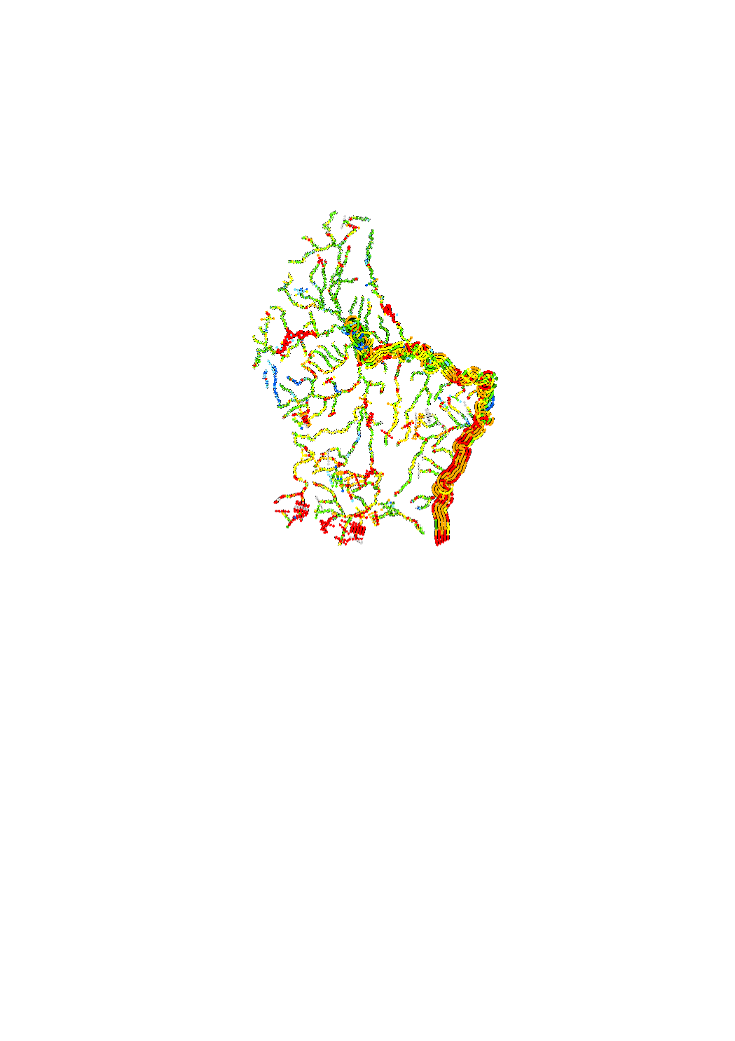
The hydromorphological status was determined by a monitoring compliant with the Water Framework Directive (Directive 2000/60/EU). The elaboration of a structural quality mapping is one part of this monitoring. Within the scope of the work on the structural quality mapping, a total of 31 parameters in the area of the river bed, the river bank and the floodplain are assessed so that the structural quality mapping contains detailed information on the river morphology and the river continuity. In this case, the evaluation of the mapped sections is based on seven classes. The areas river bed, left river bank, right riverbank, left floodplain and right floodplain are represented in 5 strips.
-
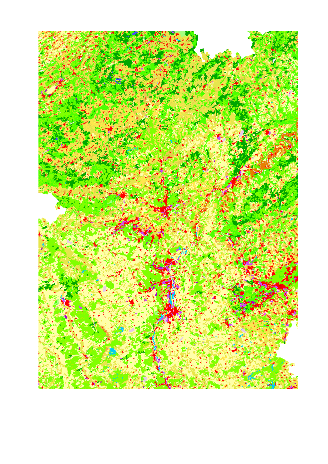
Land use in the Greater Region according to Corine Land Cover 2006 - Source: EEA - Corine Land Cover 2006 European seamless vector database: version 15 (08/2011)
-
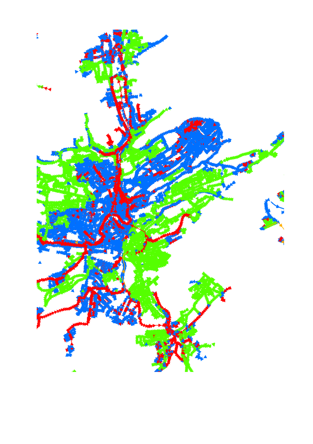
Sewage water system
-

The hydromorphological status was determined by a monitoring compliant with the Water Framework Directive (Directive 2000/60/EU). The elaboration of a structural quality mapping is one part of this monitoring. Within the scope of the work on the structural quality mapping, a total of 31 parameters in the area of the river bed, the river bank and the floodplain are assessed so that the structural quality mapping contains detailed information on the river morphology and the river continuity. In this case, the evaluation of the mapped sections is based on five classes. The areas river bed, left river bank, right riverbank, left floodplain and right floodplain are represented in 5 strips.