 geocatalogue.geoportail.lu
2020
Type of resources
Available actions
Topics
Keywords
Contact for the resource
Provided by
Groups
Years
Representation types
Update frequencies
status
Service types
Scale
-
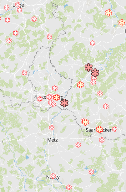
Starred restaurants of the Guide Michelin 2022 - Source: Guide Michelin 2022
-
- European air quality index (based on pollutant concentrations in µg/m3): hourly measurements for the pollutant NO2 for the most recent hour for each station - The sub-index NO2 is available according to the type of station (industrial, background or traffic) in accordance with the methodology for calculating the European air quality index for the measuring stations throughout the Greater Region. - Data depth: The most recent index for the last 3 hours for each station is available hourly. If the calculation of the sub-index is not possible due to lack of data, its value is marked by a grey dot in the symbology of the map (data not available). - Data sources: ATMO Grand Est; Agence Wallonne de l'Air et du Climat - AWAC; Landesamt für Umwelt- und Arbeitsschutz Saarland - IMMESA; Landesamt für Umwelt Rheinland-Pfalz - ZIMEN; Administration de l'environnement Luxembourg. Harmonization: ATMO Grand Est and GIS-GR 2020
-
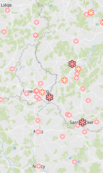
Starred restaurants of the Guide Michelin 2020 - Source: Guide Michelin 2020
-
Share of road traffic accidents involving injury with young car drivers (aged 18-24 years) 2015-2019 - Source: Sub-Working Group on Road Safety of the Summit of the Greater Region 2020 - Base map: © ACT Luxembourg 2017, IGN France 2017, GeoBasis-DE / BKG 2017, NGI-Belgium 2017
-
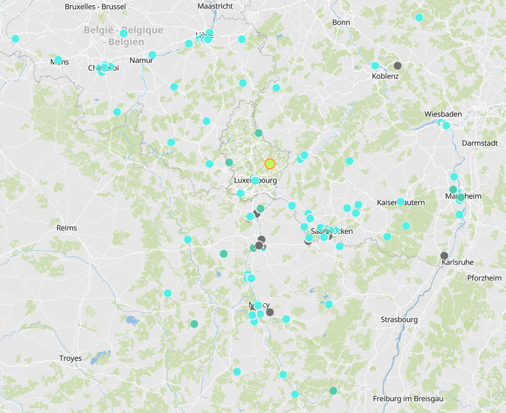
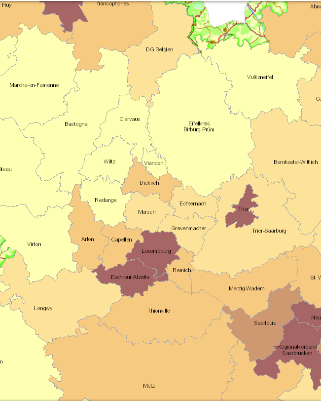
- Cross-border commuters to Luxembourg at place of residence in 2019 - Territorial entities: Kreise, arrondissements - Commuting data sources: IGSS 2019. Calculations: OIE/IBA 2020 - Geodata sources: GeoBasis-DE / BKG, IGN France, NGI-Belgium. Harmonization: SIG-GR / GIS-GR 2020
-
Toutes les données publiées à travers ce services sont licencées sous CC0
-
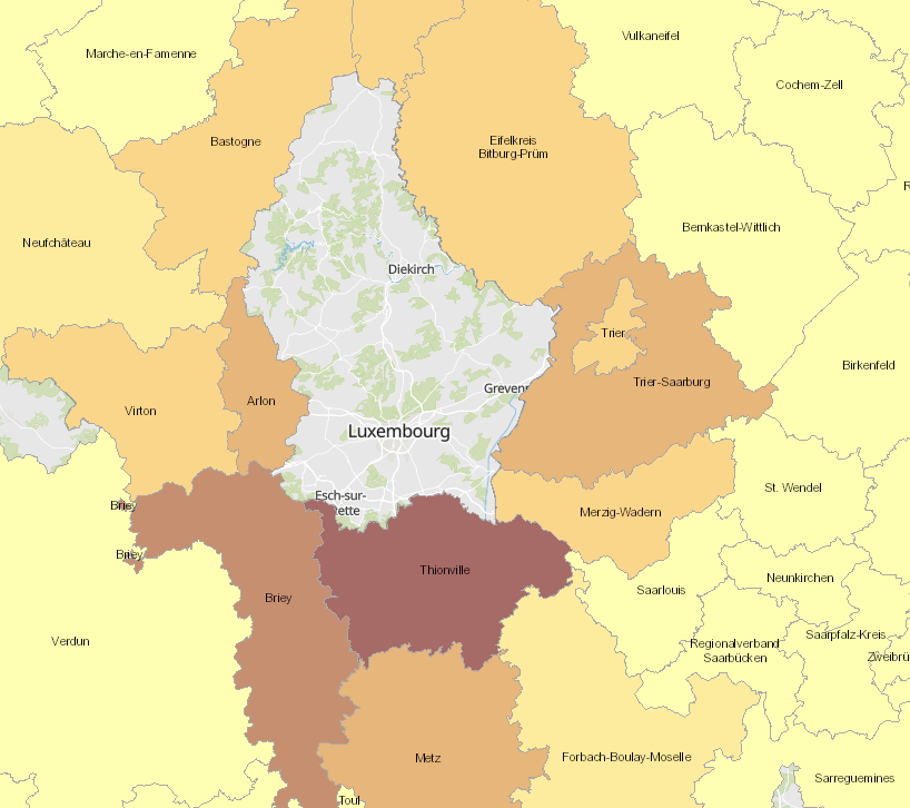
- Spatial planning documents at national/regional level of the greater-regional partners (08/2020) - Sources: MEA-Dater 2020; MDI Rheinland-Pfalz 2020; Région Grand Est 2020; MIBS Saarland 2020
-
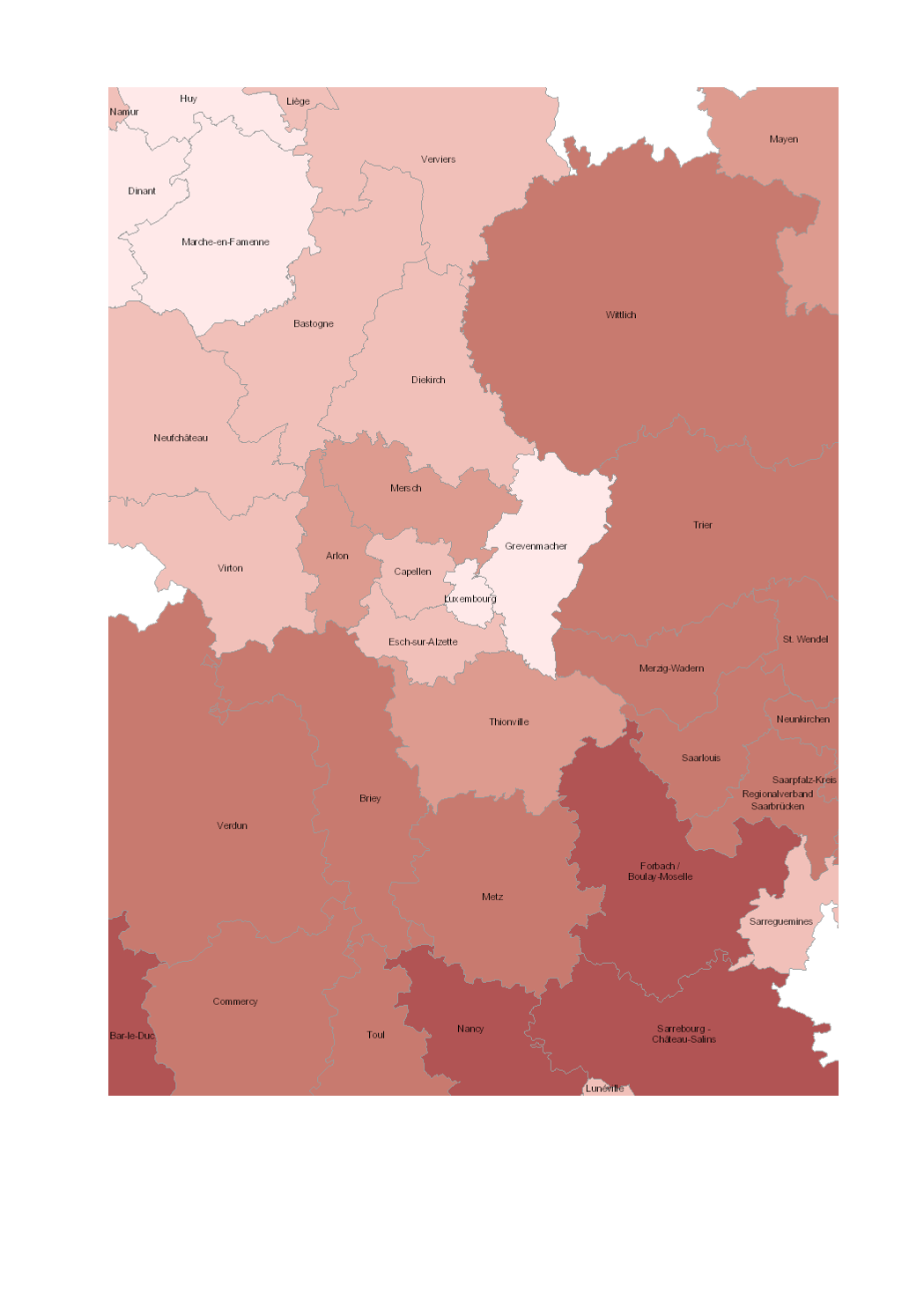
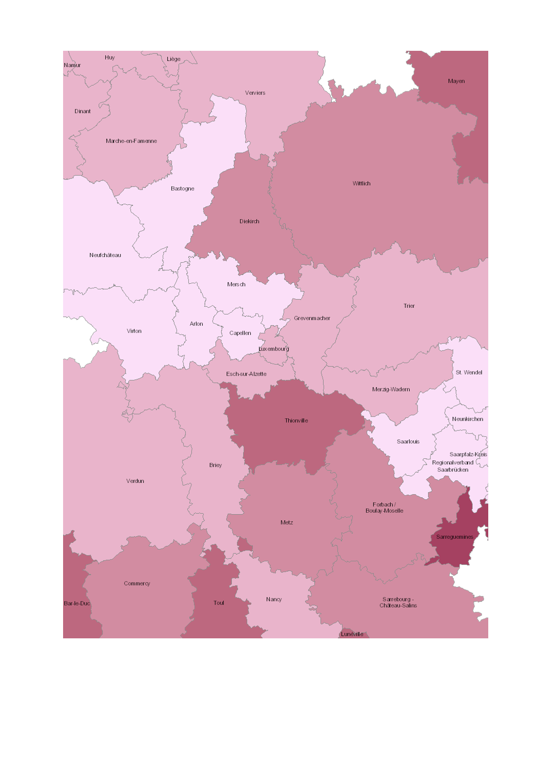
- Population density 2019 (inhabitants per km²), Lorraine: 2017 - Territorial entities: arrondissements (Wallonie), zones d'emploi (Lorraine), cantons (Luxembourg), Kreise (Saarland, Rheinland-Pfalz) - Statistical data sources: Destatis, Eurostat, INSEE, Statbel, STATEC. Harmonization: IBA / OIE 2020 - Geodata sources: GeoBasis-DE / BKG 2017, IGN France 2017, NGI-Belgium 2017, ACT Luxembourg 2017. Harmonization: SIG-GR / GIS-GR 2020
-
Share of road traffic accidents involving injury with motorized two-wheel vehicles (2015-2019) - Source: Sub-Working Group on Road Safety of the Summit of the Greater Region 2020 - Base map: © ACT Luxembourg 2017, IGN France 2017, GeoBasis-DE / BKG 2017, NGI-Belgium 2017
-
Cette carte montre les structures d’hébergement pour personnes âgées et personnes handicapées au Luxembourg