 geocatalogue.geoportail.lu
2500
Type of resources
Available actions
Topics
Keywords
Contact for the resource
Provided by
Groups
Years
Representation types
Update frequencies
status
Scale
-

Climate Map of the vineyards in Luxemburg
-
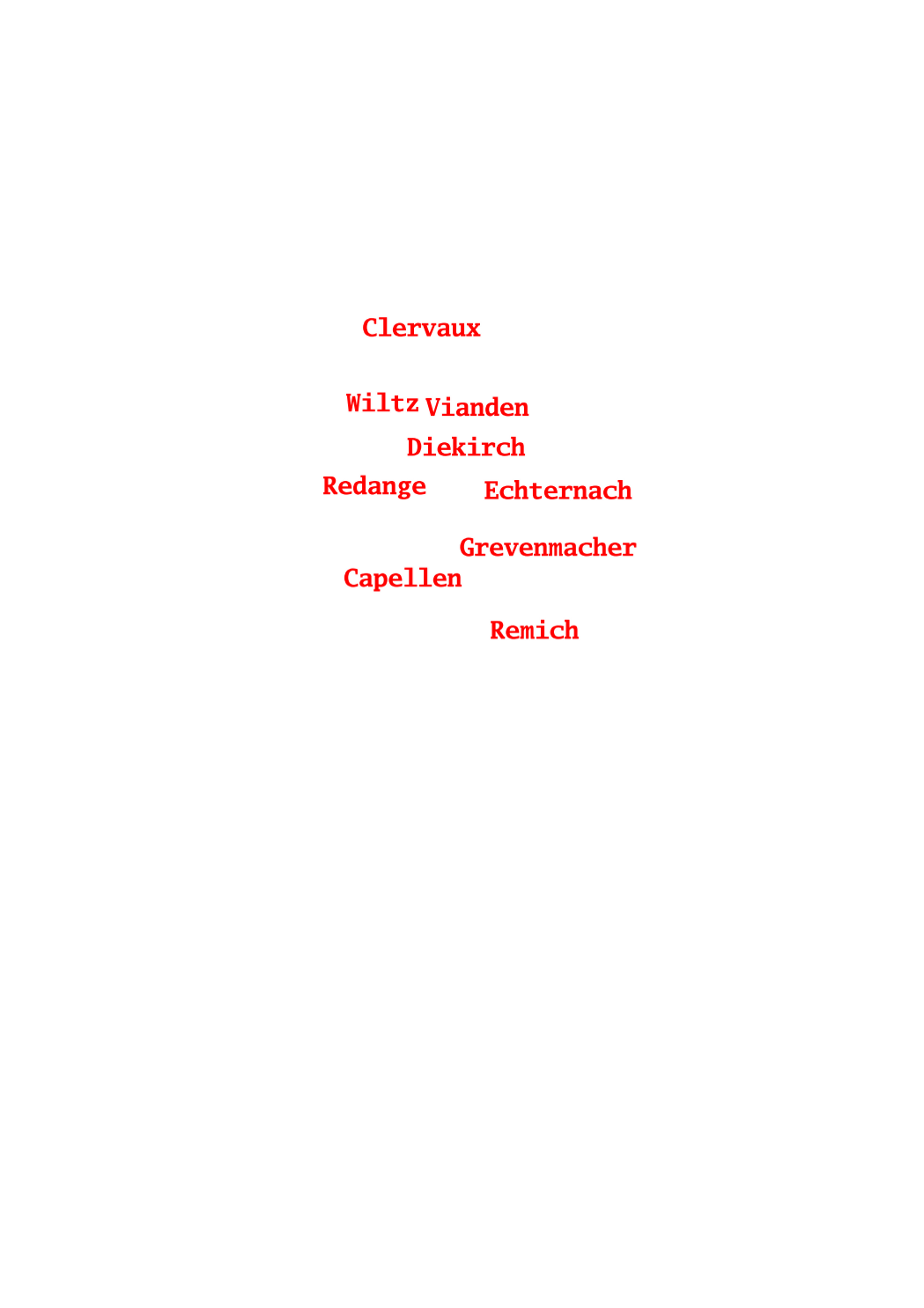
This layer shows the names of the 12 cantons in which the territory of the Grand-Duchy of Luxemburg is officially divided.
-

Project for delimitating the winegrowing areas in Luxemburg
-

This layer shows the street names, as they are registered in the official town and street names database.
-

Vineyards along the Mosel in Luxemburg
-
Ensemble des zones définies par le réglement grand-ducal du 28 juillet 2011 concernant le contenu du plan d'aménagement général d'une commune.
-

FLIK parcel of the previous year (2024)
-
This layer contains the contours of the map sheets of the original cadastral map for the actual territory of the Grand-Duchy of Luxembourg, as it has been created and updated between 1811 and 1832. Every polygon contains a link to the scanned document, that can be opened and downloaded in form of PNG files. It is one the set, which has been kept in the archives of the administration du cadastre et de la topographie. At the time of their original use, all the modifications that occured to the parcels were recorded on the map sheets themselves by erasing and drawing. This, as well as their regular use, may explain the imperfect state of some particular map sheets. A 2nd set of map sheets is kept in the national archives.
-

Agricultural reference parcels of Luxembourg 2025
-

This layer shows the parcel numbers, composed of main number and subnumber.