 geocatalogue.geoportail.lu
planningCadastre
Type of resources
Available actions
Topics
Keywords
Contact for the resource
Provided by
Groups
Years
Representation types
Update frequencies
status
Scale
-
- Spatial planning documents at national/regional level of the greater-regional partners (08/2020) - Sources: MEA-Dater 2020; MDI Rheinland-Pfalz 2020; Région Grand Est 2020; MIBS Saarland 2020
-
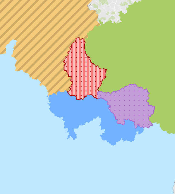
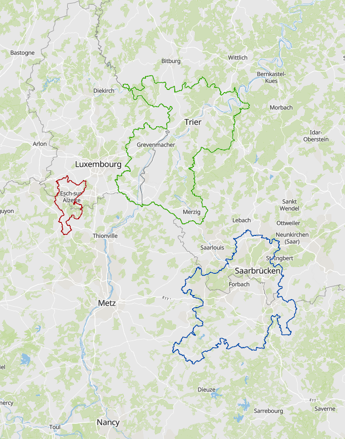
- Cross-border spatial planning documents in the Greater Region and the Upper Rhine 2024 - Sources: EOM, Eurodistrict SaarMoselle, GECT Alzette Belval, GeoRhena, GT Aménagement Rhin supérieur - AG Raumordnung Oberrhein, MLOGAT-DATer Luxembourg 2024. Harmonization: GIS-GR 2024
-
- Subregional spatial planning documents in the Greater Region and the Upper Rhine 2024 - Sources: GeoRhena, MDI Rheinland-Pfalz, MIBS Saarland, Ministerium der Deutschsprachigen Gemeinschaft, MLOGAT-DATer Luxembourg, Région Grand Est, Service public de Wallonie, Verband Rhein-Neckar 2024. Harmonization: GIS-GR 2024
-

Le plan d’occupation du sol (POS) est un instrument d’aménagement du territoire rendu obligatoire par règlement grand-ducal et contenant un ensemble de prescriptions écrites et graphiques. Il délimite au niveau d’une ou de plusieurs communes une partie déterminée du territoire national qu’il divise en une ou plusieurs zones dont il arrête le mode d’utilisation du sol et dont il précise et exécute le cas échéant le mode d’utilisation du sol
-
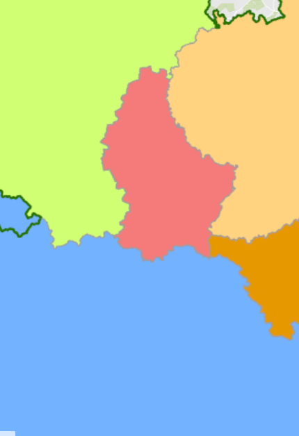
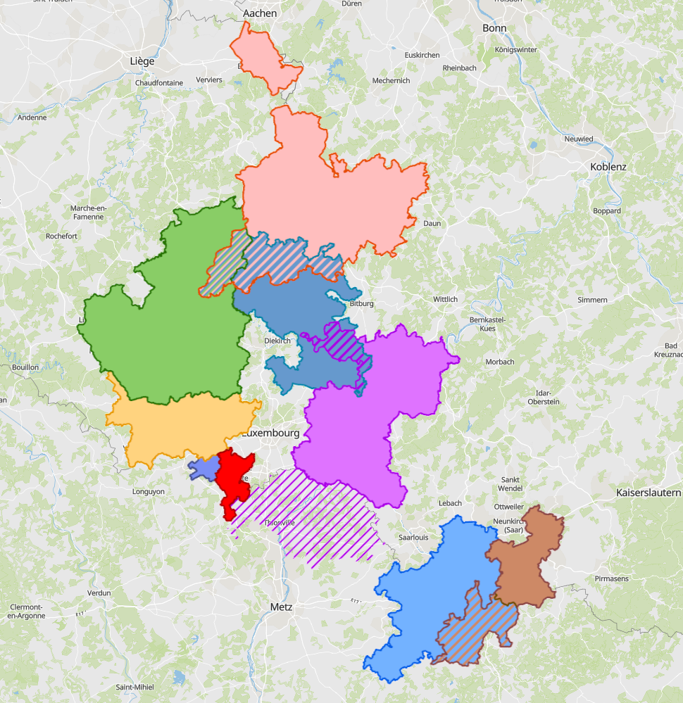
- Spatial planning documents at national/regional/cantonal level in the Greater Region and the Upper Rhine 2024 - Sources: GeoRhena, MDI Rheinland-Pfalz, MIBS Saarland, Ministerium der Deutschsprachigen Gemeinschaft, MLOGAT-DATer Luxembourg, Région Grand Est, Service public de Wallonie 2024. Harmonization: GIS-GR 2024
-
Map that has been used by the Germans during WWII. The map has been edited in September 1939 and represents a mix of existing mapsof Luxembourg (Hansen) and german maps. Later, triangulations points as well as luxembourgish coordinate reference lines have been added
-
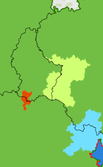
- Cross-border functional areas defined within the Interreg programme of the Greater Region in 2023. - Sources: Entiwcklungskonzept Oberes Moseltal, Eurodistrict SaarMoselle, EGTC Alzette-Belval, . Harmonization: SIG-GR 2023
-
- Cross-border functional areas defined within the Interreg programme of the Greater Region in 2025. - Sources: Entwicklungskonzept Oberes Moseltal (EOM), Eurodistrict SaarMoselle, GECT Alzette-Belval, MLOGAT-DATer, Idelux, Eifel-Ostbelgien-Eislek (EOE), Mëllerdall-Our-Südeifel (MOSE), TNT Chiers Alzette, Parc archéologique européen - Europäischer Kulturpark Bliesbruck-Reinheim. Harmonisation: SIG-GR 2025
-
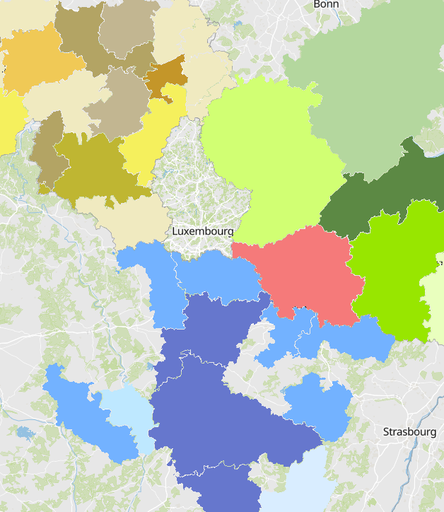
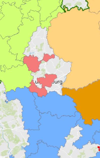
- Intercommunal spatial planning documents of the greater-regional partners (08/2020) - Sources: Région Grand Est 2020; DREAL Grand Est 2020; MDI Rheinland-Pfalz 2020; MIBS Saarland 2020
-
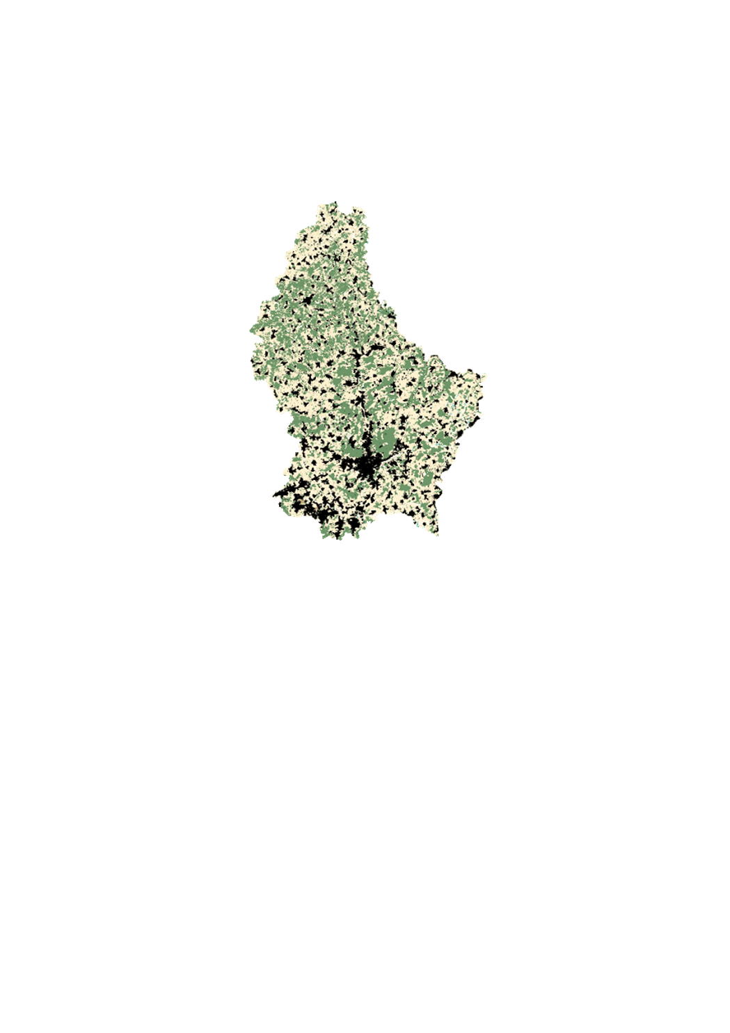
This layer contains the cadastral parcels of the cadastral database. It cannot be shown together with geodata of another type of precision.