 geocatalogue.geoportail.lu
5000
Type of resources
Available actions
Topics
Keywords
Contact for the resource
Provided by
Groups
Years
Representation types
Update frequencies
status
Scale
-
All artificial water expanses and basins.
-
All natural water expanses and basins.
-
-
The global status of a surface water body is determined by its ecological and chemical status.
-
The evaluation of the hydromorphological structure of surface water is made in two steps: First the method for the surface water development ability is applied. For this method the current structure of the surface water is analyzed for the different surface water sections. Constructing on the section-referred evaluation a total evaluation of the surface water development ability per surface water body takes place.
-
Repertoire of all wetlands in Luxembourg as marshy lands and areas and alluvial forests.
-
A groundwater body is a distinctive volume of groundwater inside one or more aquifers. The identification of a groundwater body is made by geological criteria. A groundwater body is a management unit in order to evaluate the environmental objectives (good status) according to article 6 of the national water law of the 19th December 2008.
-
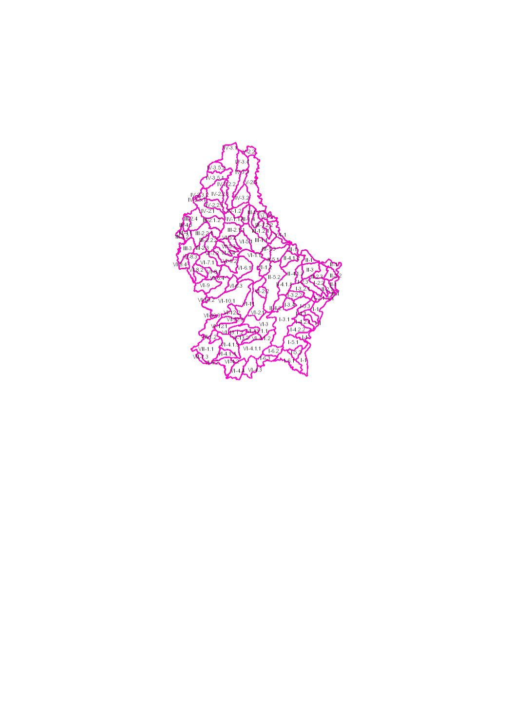
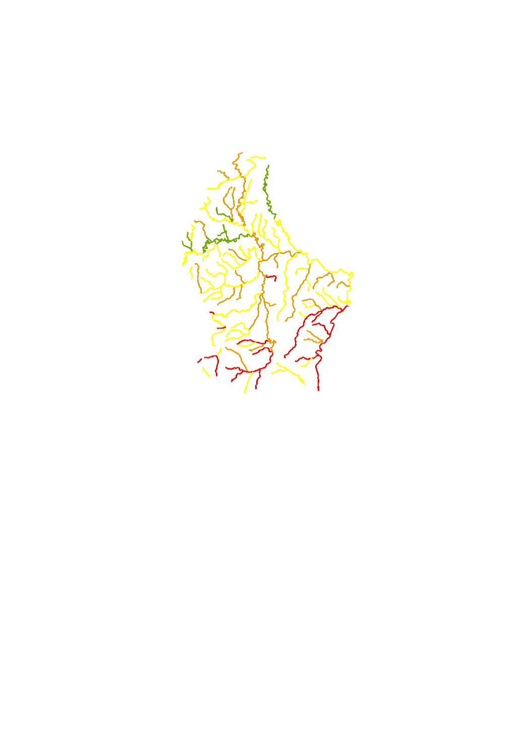
The surface water of Luxembourg are subdivided in 102 water bodies. The identification of water bodies is based on geographical and hydrological determinants. 3 surface water bodies are integrated in the river basin of the "Chiers", part of the river basin district of the Meuse. 99 surface water bodies are integrated in the river basin of the "Moselle", part of the river basin district of the Rhine.
-

This layer contains the regulations contained in the land use plan of the municipality of Lintgen. The information in this geoportal layer has no legal value and must be considered as mere indications related to the original document. The original plan can be viewed in the local administration.
-

Quantitative status of the water bodies 2009