 geocatalogue.geoportail.lu
environment
Type of resources
Available actions
Topics
Keywords
Contact for the resource
Provided by
Groups
Years
Representation types
Update frequencies
status
Scale
-
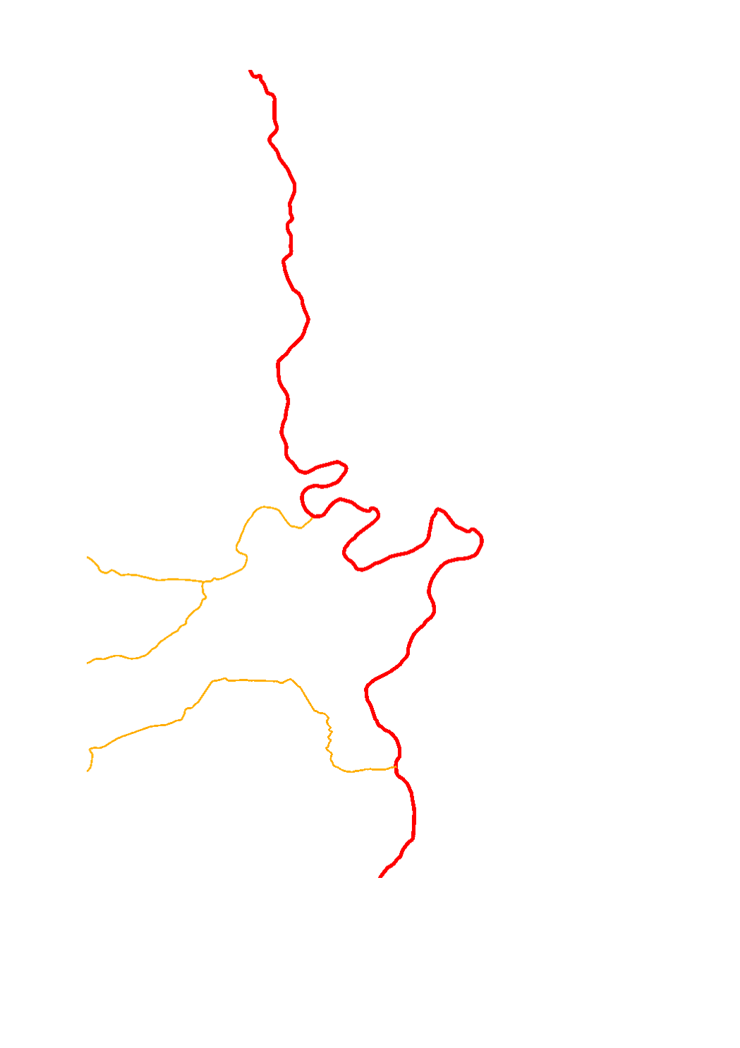
With regard to the implementation of the Water Framework Directive, specific types of watercourses have been designated for Luxembourg. As in the context of various works the German stream types (LAWA types) are used, these have also been assigned to the Luxembourgish surface water bodies.
-
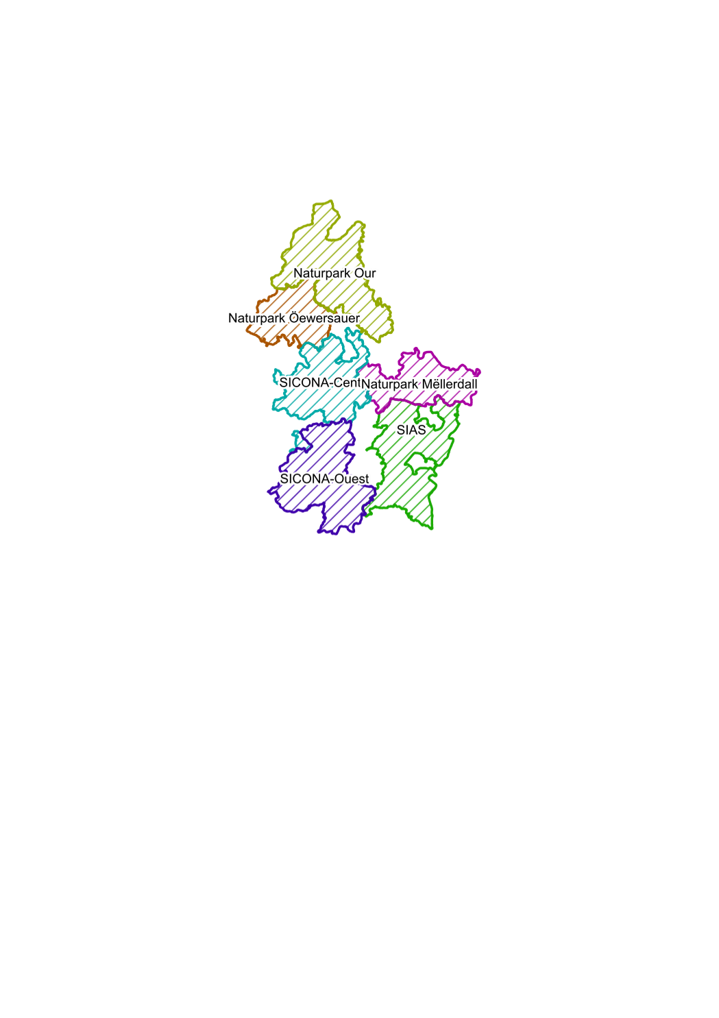
areal units of the biological stations, intercommunal syndicates for nature protection
-
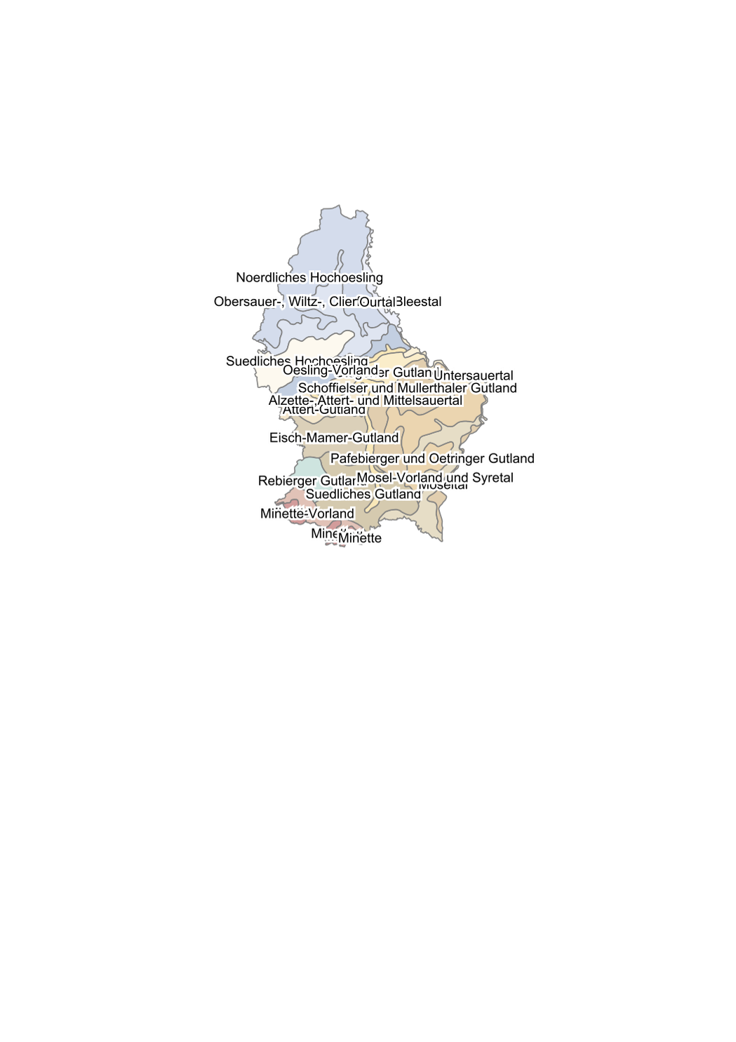
subdivision of the country in biogeoclimatic areas according to the ecological classification method based on climate, constitution of the mother rock and the ground: 18 ecological sectors
-
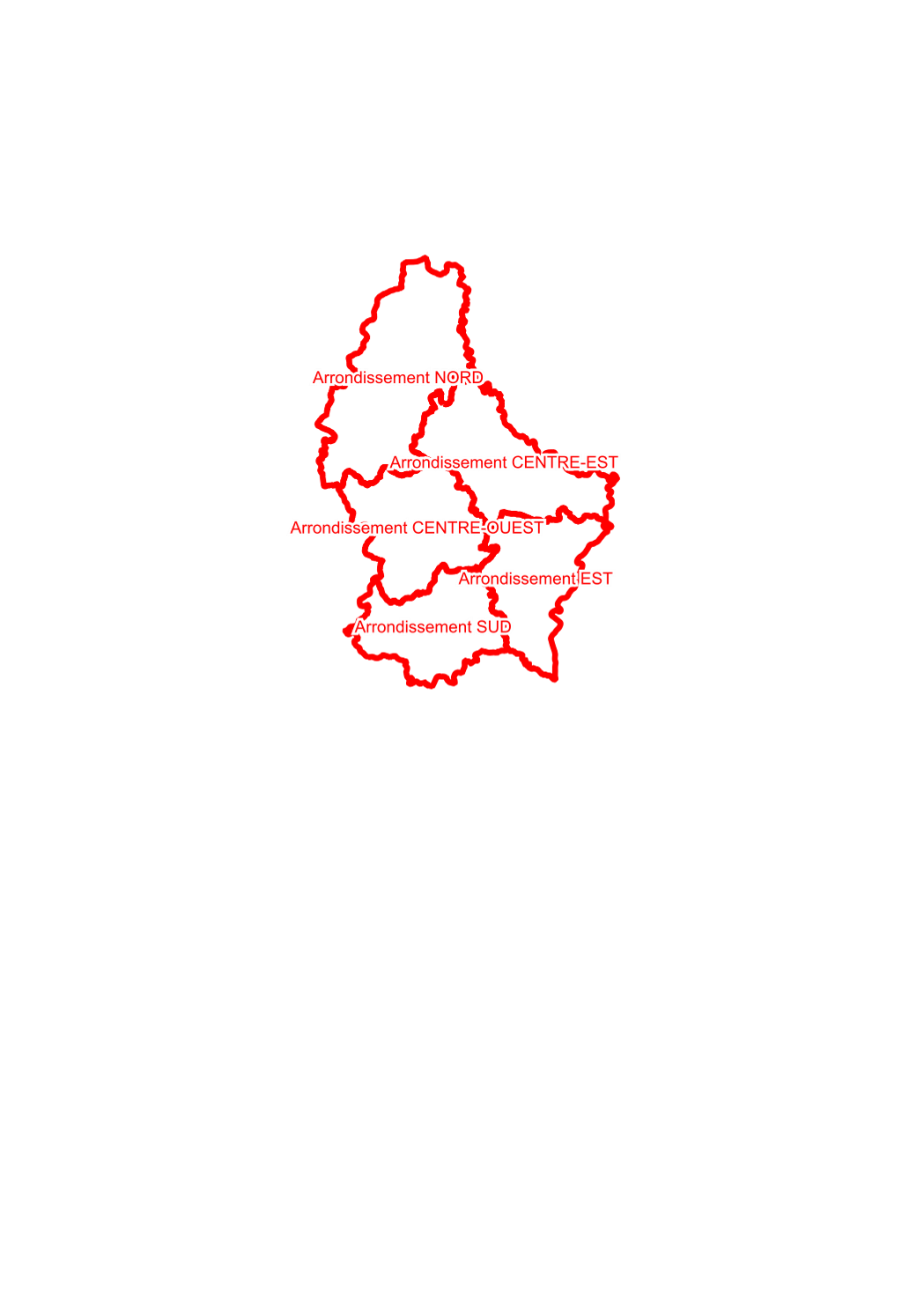
territory of first degree of the regional outposts of the nature administration conformable to the grand ducal regulation of 11th june 2009 concerning the number and composition of the outposts of the nature administration.
-
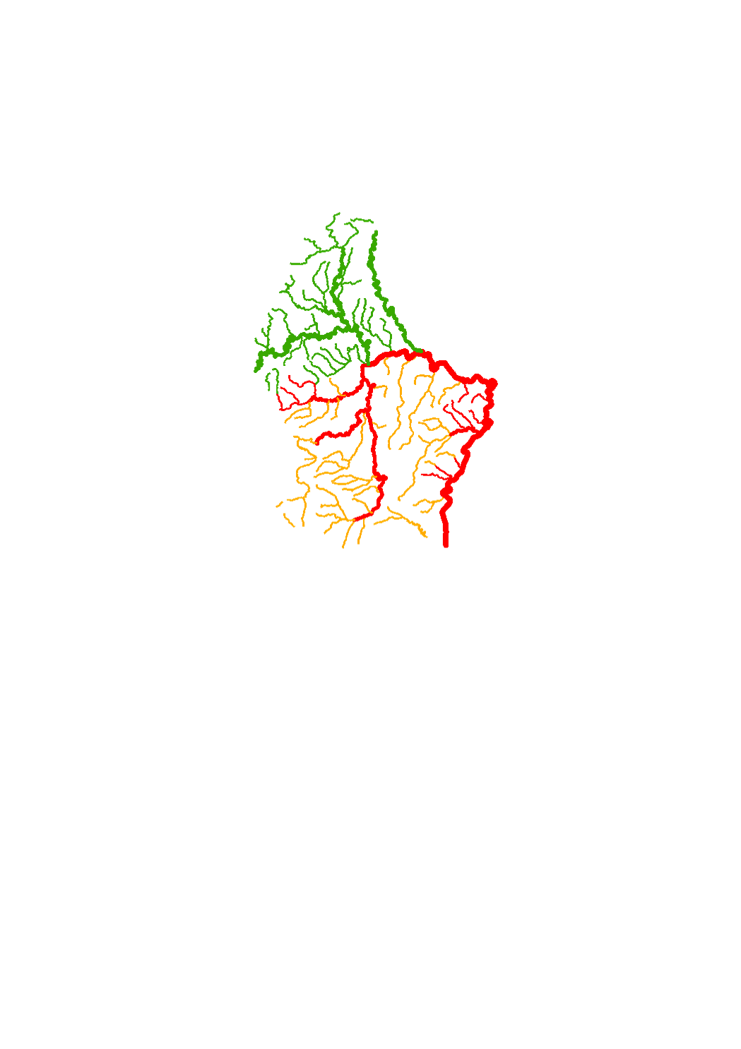
With regard to the implementation of the Water Framework Directive, specific types of watercourses have been designated for Luxembourg. As in the context of various works the German stream types (LAWA types) are used, these have also been assigned to the Luxembourgish surface water bodies.
-
In the detailed programme of measures, the types of measures related to hydromorphology (HY) and urban wastewater management (SWW) which are defined in the catalogue of measures of the third river basin management plan, were assigned to the individual water bodies. The objective of this assignation is to identify for each water body those measures that will help to reduce the pressures and deficits present in the water body, thereby improving its status or maintaining its good status.
-
The sectoral plan ‘landscapes’ aims at creating a framework for spatial planning in the context of the management, planing and protection of the landscapes. For this purpose, it defines protection zones for the large landscape units, the interurban green zone, the green belts as well as the protection zone of the ecological network. http://www.dat.public.lu/plans_caractere_reglementaire/plans_sectoriels/paysage/index.html
-
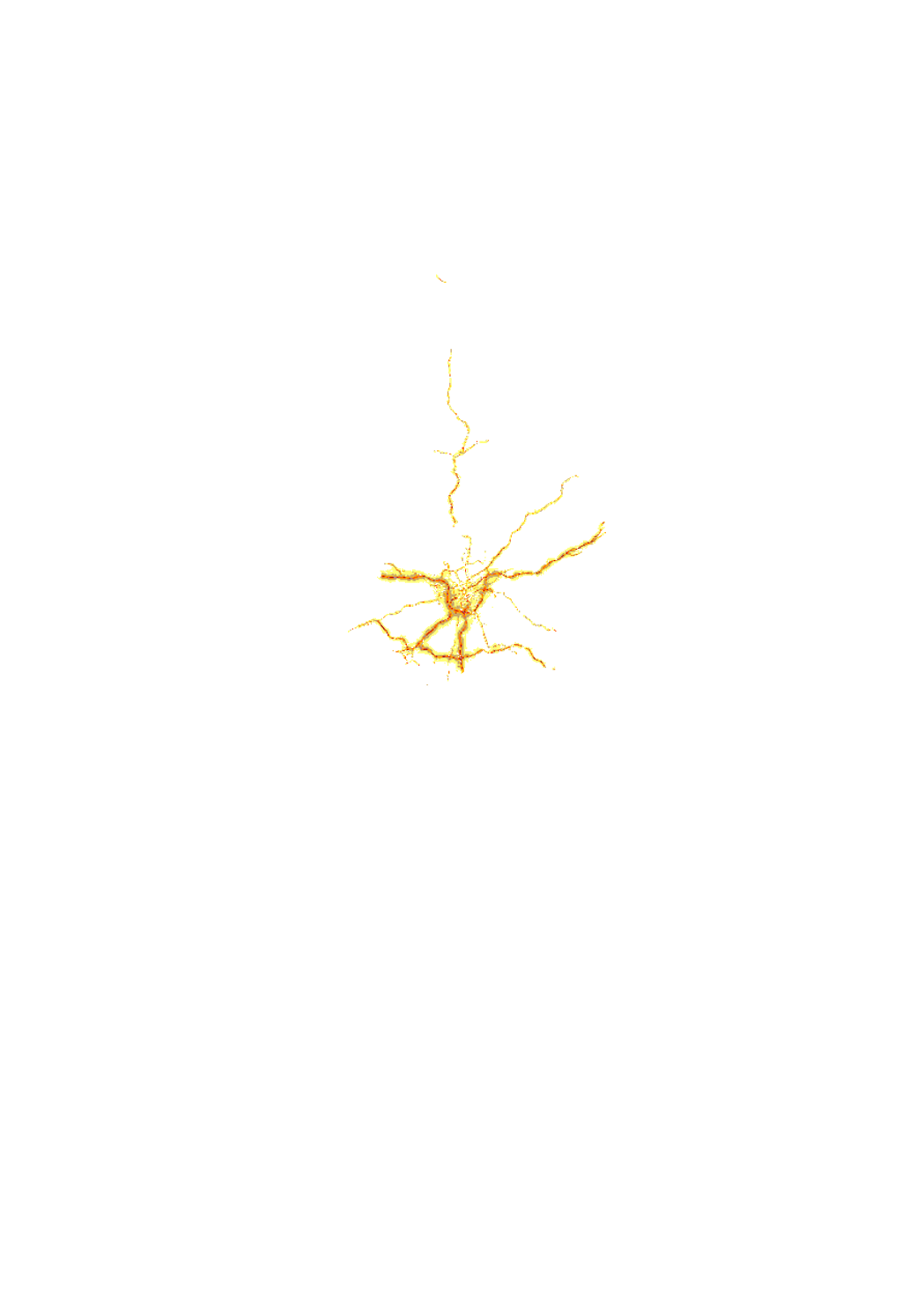
Noise map of all the major roads of more than 3 million vehicles per year located on the territory of the Grand-duchy of Luxemburg and all roads inside of agglomerations. This map is representative for the year 2011 and is using the noise index LNGT. This noise map has been elaborated in the context of the DIRECTIVE 2002/49/EC OF THE EUROPEAN PARLIAMENT AND OF THE COUNCIL of 25 June 2002 relating to the assessment and management of environmental noise, transposed into national law by the loi du 2 août 2006 modifiant la loi modifiée du 21 juin 1976 relative à la lutte contre le bruit and the règlement grand-ducal du 2 août 2006 portant application de la directive 2002/49/CE relative à l'évaluation et à la gestion du bruit dans l'environnement. Attributes: LNGT = 90 -> LNGT 85 - 90 dB(A) LNGT = 85 -> LNGT 80 - 85 dB(A) LNGT = 80 -> LNGT 75 - 80 dB(A) LNGT = 75 -> LNGT 70 - 75 dB(A) LNGT = 70 -> LNGT 65 - 70 dB(A) LNGT = 65 -> LNGT 60 - 65 dB(A) LNGT = 60 -> LNGT 55 - 60 dB(A) LNGT = 55 -> LNGT 50 - 55 dB(A) LNGT = 50 -> LNGT 45 - 50 dB(A)
-

Tree population of the municipal, state and public forest ownership specified by main tree species and age classes, units of inventory.
-

Noise map of the major railways of more than 30'000 trains per year located on the territory of the Grand-duchy of Luxemburg and inside of agglomerations consisting of Luxemburg city, Bertrange, Hesperange, Walferdange, and Steinsel.. This map is representative for the year 2011 and is using the noise index LNGT. This noise map has been elaborated in the context of the DIRECTIVE 2002/49/EC OF THE EUROPEAN PARLIAMENT AND OF THE COUNCIL of 25 June 2002 relating to the assessment and management of environmental noise, transposed into national law by the loi du 2 août 2006 modifiant la loi modifiée du 21 juin 1976 relative à la lutte contre le bruit and the règlement grand-ducal du 2 août 2006 portant application de la directive 2002/49/CE relative à l'évaluation et à la gestion du bruit dans l'environnement. LNGT = 90 -> LNGT 85 - 90 dB(A) LNGT = 85 -> LNGT 80 - 85 dB(A) LNGT = 80 -> LNGT 75 - 80 dB(A) LNGT = 75 -> LNGT 70 - 75 dB(A) LNGT = 70 -> LNGT 65 - 70 dB(A) LNGT = 65 -> LNGT 60 - 65 dB(A) LNGT = 60 -> LNGT 55 - 60 dB(A) LNGT = 55 -> LNGT 50 - 55 dB(A) LNGT = 50 -> LNGT 45 - 50 dB(A)