Lintgen
Type of resources
Available actions
Topics
Keywords
Contact for the resource
Provided by
Groups
Years
Representation types
Update frequencies
status
Scale
-

This layer contains the regulations contained in the land use plan of the municipality of Lintgen. The information in this geoportal layer has no legal value and must be considered as mere indications related to the original document. The original plan can be viewed in the local administration.
-
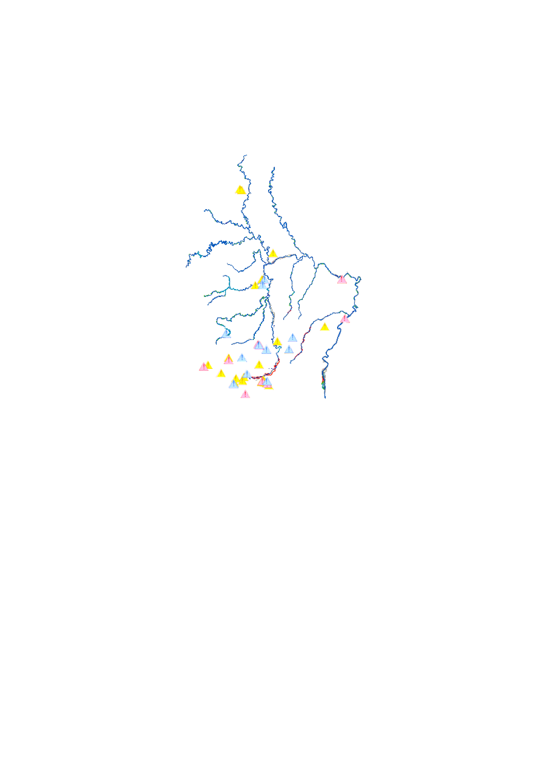
scenario of the flood risk map which shows the floodplain of a modeled 100-year flood event, as demanded by the floods directive 2007/60/EC
-

scenario of the flood risk map which shows the floodplain of a modeled extreme flood event, as demanded by the floods directive 2007/60/EC
-
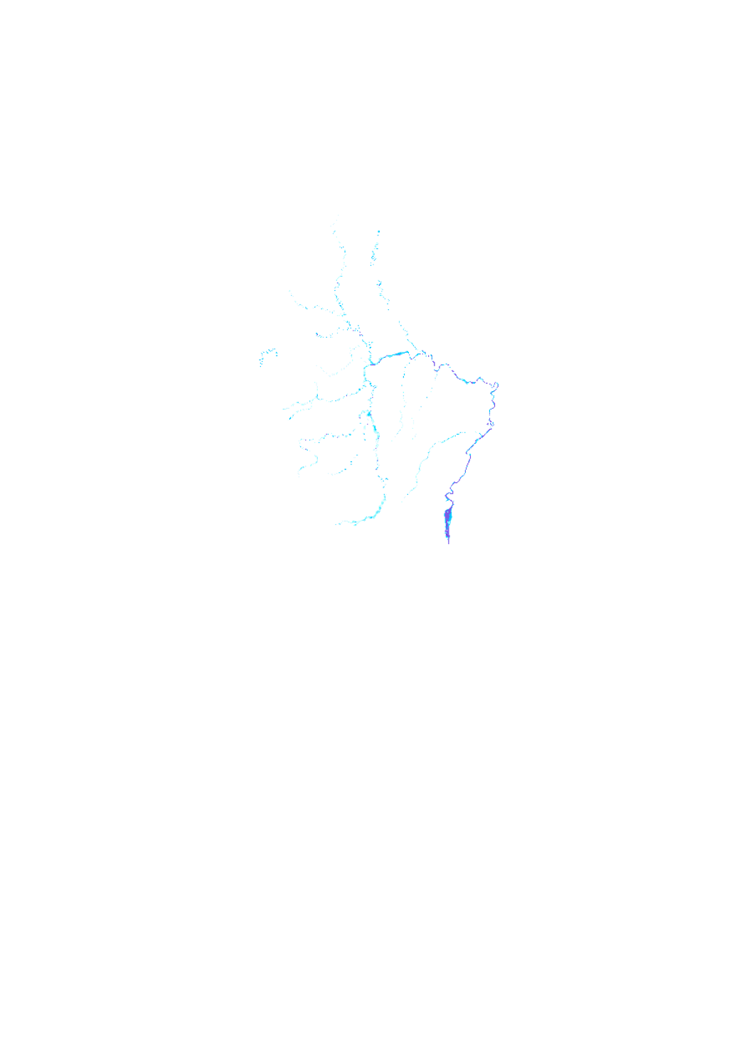
scenario of the flood hazard map which shows the floodplain of a modeled extreme flood event, as demanded by the floods directive 2007/60/EC.
-
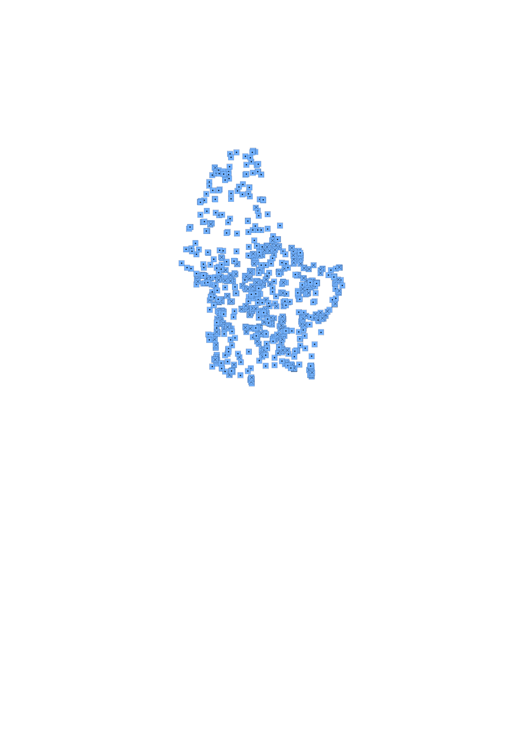
Drillings and wells to exploit groundwater, as well as exploration wells.
-
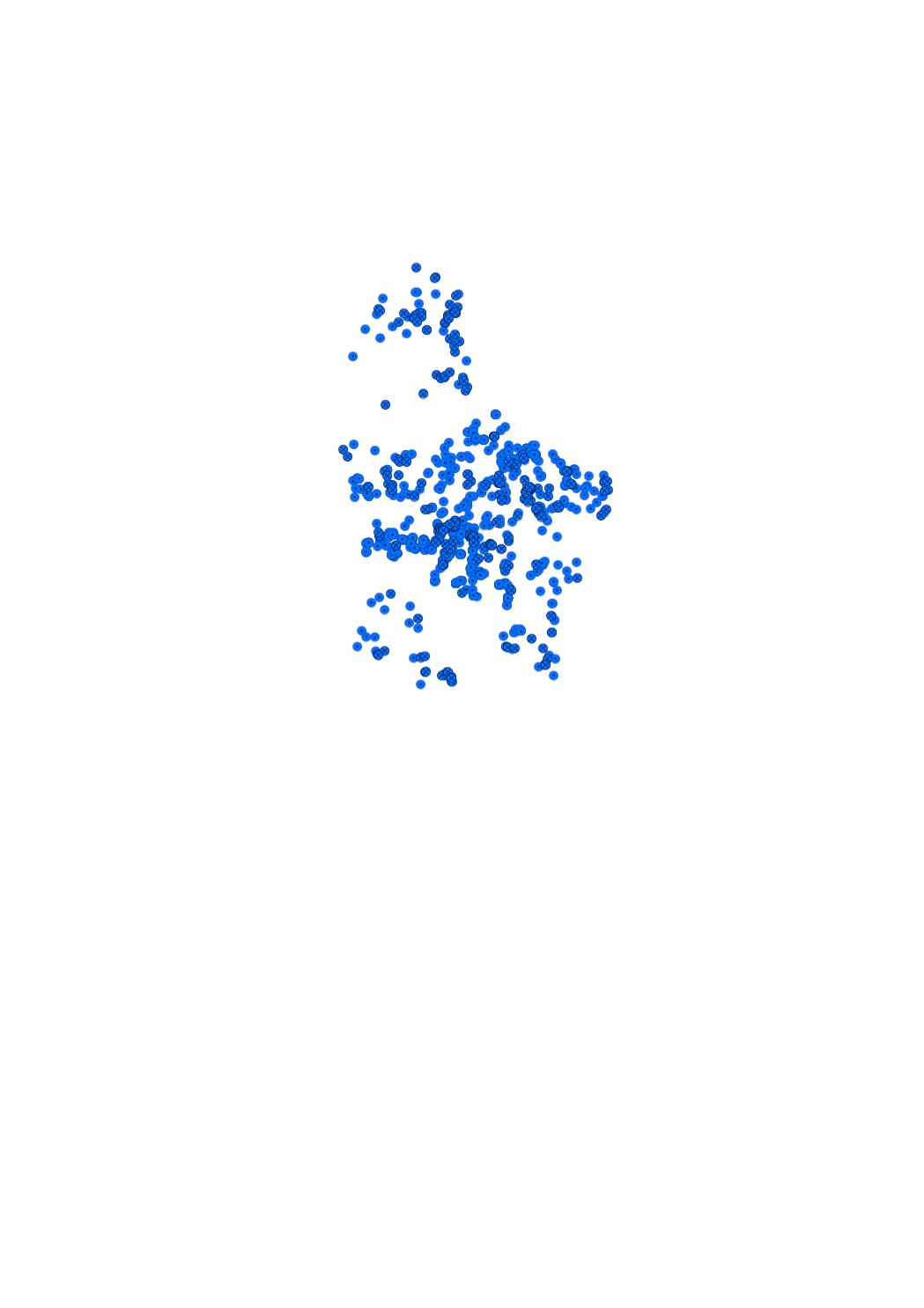
Water rising naturally from the earth.
-

scenario of the flood hazard map which shows the floodplain of a modeled 10-year flood event, as demanded by the floods directive 2007/60/EC
-
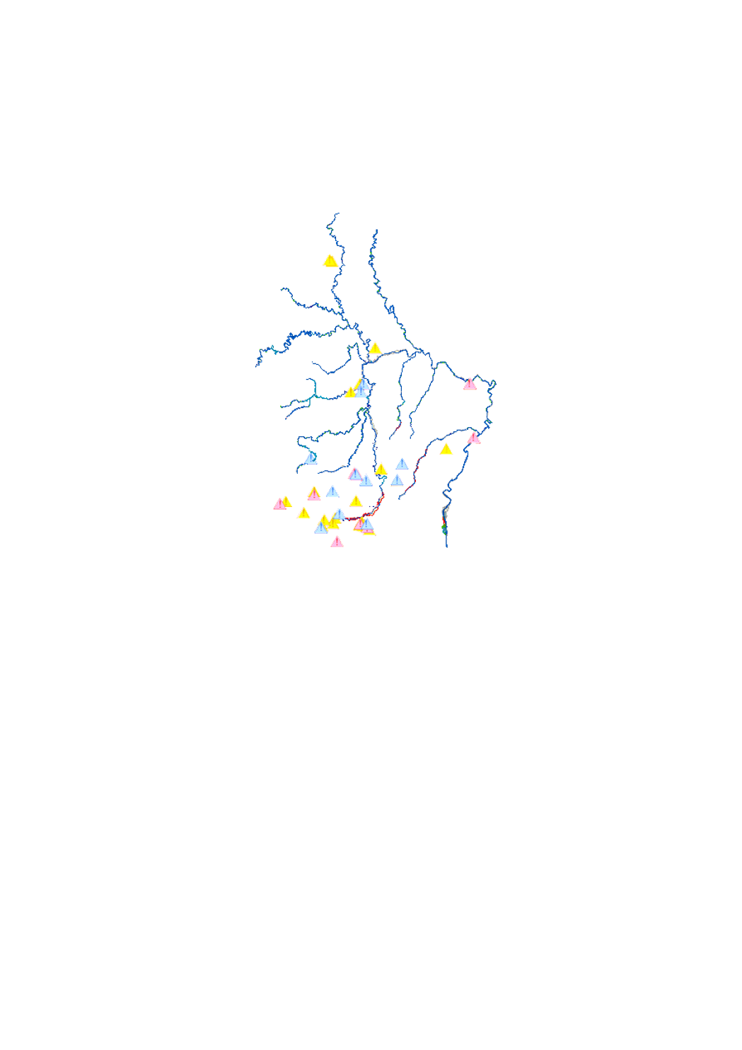
scenario of the flood risk map which shows the floodplain of a modeled 10-year flood event, as demanded by the floods directive 2007/60/EC
-
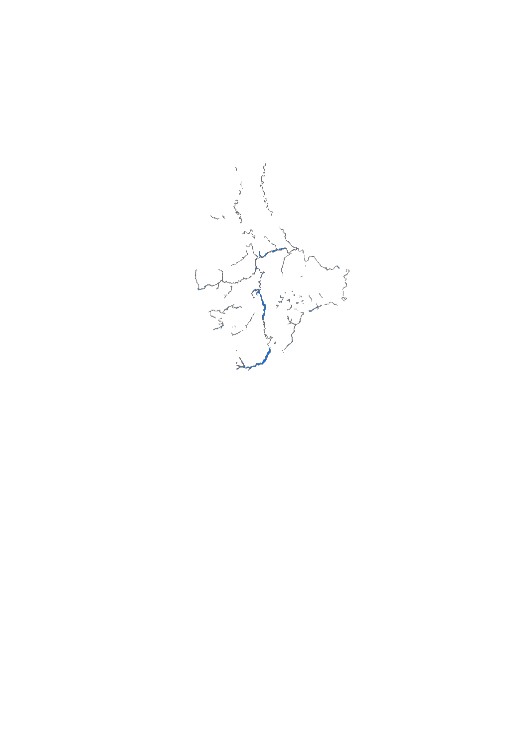
Layer showing the floodplain of the Alzette and lower Sûre river during the 1993 flood event (Data based on photographs taken out of an airplaine, topographic map 1/10.000 and field surveys)
-
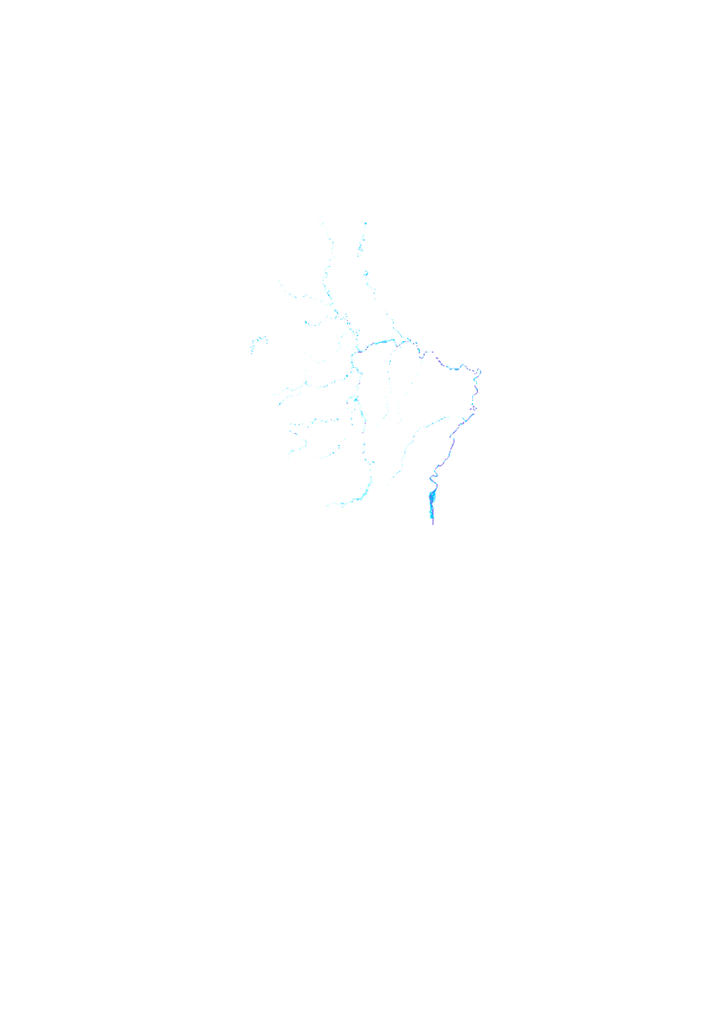
scenario of the flood hazard map which shows the floodplain of a modeled 100-year flood event, as demanded by the floods directive 2007/60/EC
 geocatalogue.geoportail.lu