 geocatalogue.geoportail.lu
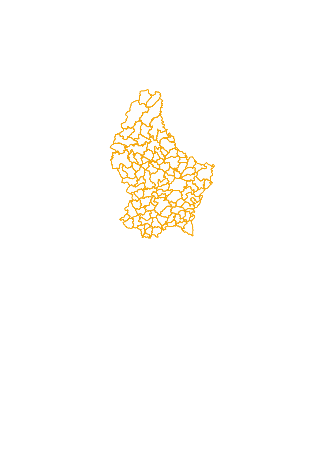
Municipalities
This layer contains the administrative municipality boundaries, which have been created based upon the cadastral database, after simplification.
Simple
- Citation identifier
- / de5373d6-340f-4203-a065-da7550a03cc4_2049
- Presentation form
- Digital map
- Status
- On going
- Point of contact
-
Organisation name Individual name Electronic mail address Role Administration du Cadastre et de la Topographie
Service du géoportail et de l'ILDG (ACT)
Point of contact
Point of contact
Point of contact
Point of contact
Point of contact
Point of contact
Point of contact
Point of contact
Point of contact
Point of contact
Point of contact
- Maintenance and update frequency
- As needed
-
Entités au Grand-Duché de Luxembourg
-
-
Grand-Duché du Luxembourg
-
- Keywords
-
- Keywords
-
-
administrative boundaries
-
municipalities
-
municipality
-
geoportail.lu
-
-
geoportail.lu themes
-
-
Agriculture
-
Environment
-
Tourism
-
Main
-
Water
-
PAG
-
-
geoportail.lu structure
-
-
Agriculture>Administrative units
-
Environment>Administrative units
-
Tourism>Administrative units
-
Main>Geographical location>Administrative units
-
Water>Geographical location>Boundaries
-
PAG>Geographical location>Administrative units
-
- Use constraints
- Other restrictions
- Other constraints
-
Creative Commons 1.0 Universal (CC0 1.0) Public Domain Dedication
- Spatial representation type
- Vector
- Denominator
- 0
- Language
- Lëtzebuergesch
- Language
- Deutsch
- Language
- Français
- Language
- English
- Character set
- UTF8
- Topic category
-
- Planning cadastre
- Geoscientific information
))
- Reference system identifier
- EPSG / http://www.opengis.net/def/crs/EPSG/0/2169
- OnLine resource
-
Protocol Linkage Name OGC:WMS-1.3.0-http-get-map
https://wms.geoportail.lu/public_map_layers/service 302
OGC:WMS-1.3.0-http-get-map
http://wmts1.geoportail.lu/opendata/service?request=getCapabilities&service=WMS&version=1.3.0 communes
WWW:LINK-1.0-http--link
https://data.public.lu/fr/datasets/limites-administratives-du-grand-duche-de-luxembourg/ OGC API-Features
https://features.geoportail.lu/collections/302 OGC API - Features
- OnLine resource
-
Protocol Linkage Name https://map.geoportail.lu/theme/main?version=3&zoom=8&X=667917&Y=6394482&lang=fr&layers=302&opacities=1 Municipalities
Metadata
- File identifier
- de5373d6-340f-4203-a065-da7550a03cc4_2049 XML
- Metadata language
- Français
- Character set
- UTF8
- Hierarchy level
- Dataset
- Hierarchy level name
-
dataset
- Date stamp
- 2025-10-28T15:30:13.638152Z
- Metadata standard name
-
ISO 19115:2003/19139
- Metadata standard version
-
1.0
- Metadata author
-
Organisation name Individual name Electronic mail address Role Administration du Cadastre et de la Topographie
Service du géoportail et de l'ILDG (ACT)
Point of contact
- Other language
-
Language Character encoding Luxembourgish; Letzeburgesch UTF8 English UTF8 German UTF8 French UTF8
)))