 geocatalogue.geoportail.lu
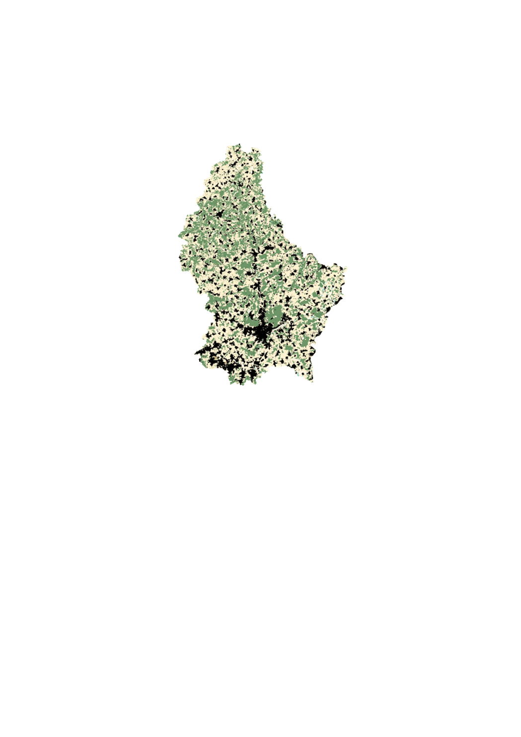
Cadastral parcels
This layer contains the cadastral parcels of the cadastral database. It cannot be shown together with geodata of another type of precision.
Simple
- Citation identifier
- / de5373d6-340f-4203-a065-da7550a03cc4_2050
- Presentation form
- Digital map
- Status
- On going
- Point of contact
-
Organisation name Individual name Electronic mail address Role Administration du Cadastre et de la Topographie
Service du géoportail et de l'ILDG (ACT)
Point of contact
Point of contact
Point of contact
Point of contact
Point of contact
Point of contact
Point of contact
Point of contact
Point of contact
Point of contact
Point of contact
- Maintenance and update frequency
- As needed
-
Entités au Grand-Duché de Luxembourg
-
-
Grand-Duché du Luxembourg
-
- Keywords
-
- Keywords
-
-
parcel
-
layer
-
geoportail.lu
-
-
geoportail.lu themes
-
-
Gemeng
-
Main
-
-
geoportail.lu structure
-
-
Gemeng>Commande
-
Main>Geographical location>Cadastral data
-
- Use constraints
- Other restrictions
- Other constraints
-
Attribution 4.0 International (CC BY 4.0)
- Spatial representation type
- Vector
- Denominator
- 0
- Language
- Lëtzebuergesch
- Language
- Deutsch
- Language
- Français
- Language
- English
- Character set
- UTF8
- Topic category
-
- Planning cadastre
- Geoscientific information
))
- Reference system identifier
- EPSG / http://www.opengis.net/def/crs/EPSG/0/2169
- OnLine resource
-
Protocol Linkage Name OGC:WMS-1.3.0-http-get-map
https://wms.geoportail.lu/public_map_layers/service 359
OGC:WMS-1.3.0-http-get-map
http://wmts1.geoportail.lu/opendata/service?request=getCapabilities&service=WMS&version=1.3.0 parcels
WWW:LINK-1.0-http--link
https://data.public.lu/fr/datasets/plan-cadastral-numerise-pcn/ OGC API-Features
https://features.geoportail.lu/collections/359 OGC API - Features
- OnLine resource
-
Protocol Linkage Name https://map.geoportail.lu/theme/main?version=3&zoom=8&X=667917&Y=6394482&lang=fr&layers=359&opacities=1 Cadastral parcels
- OnLine resource
-
Protocol Linkage Name https://map.geoportail.lu/theme/main?version=3&zoom=8&X=667917&Y=6394482&lang=fr&layers=262&opacities=1 Cadastre plan
Metadata
- File identifier
- de5373d6-340f-4203-a065-da7550a03cc4_2050 XML
- Metadata language
- Français
- Character set
- UTF8
- Hierarchy level
- Dataset
- Hierarchy level name
-
dataset
- Date stamp
- 2025-12-10T11:05:08.29632Z
- Metadata standard name
-
ISO 19115:2003/19139
- Metadata standard version
-
1.0
- Metadata author
-
Organisation name Individual name Electronic mail address Role Administration du Cadastre et de la Topographie
Service du géoportail et de l'ILDG (ACT)
Point of contact
- Other language
-
Language Character encoding Luxembourgish; Letzeburgesch UTF8 English UTF8 German UTF8 French UTF8
)))