 geocatalogue.geoportail.lu
Inland waters
Type of resources
Available actions
Topics
Keywords
Contact for the resource
Provided by
Groups
Years
Representation types
Update frequencies
status
Scale
-
This layer contains the locations of public drinking water dispensers in the various municipalities
-

Drinking water shortage (level « orange »)
-
This layer contains the locations of public drinking water dispensers in the various municipalities
-
This layer contains the certificates of excellence of the different municipalities for the successful audit of the risk analysis of drinking water installations
-
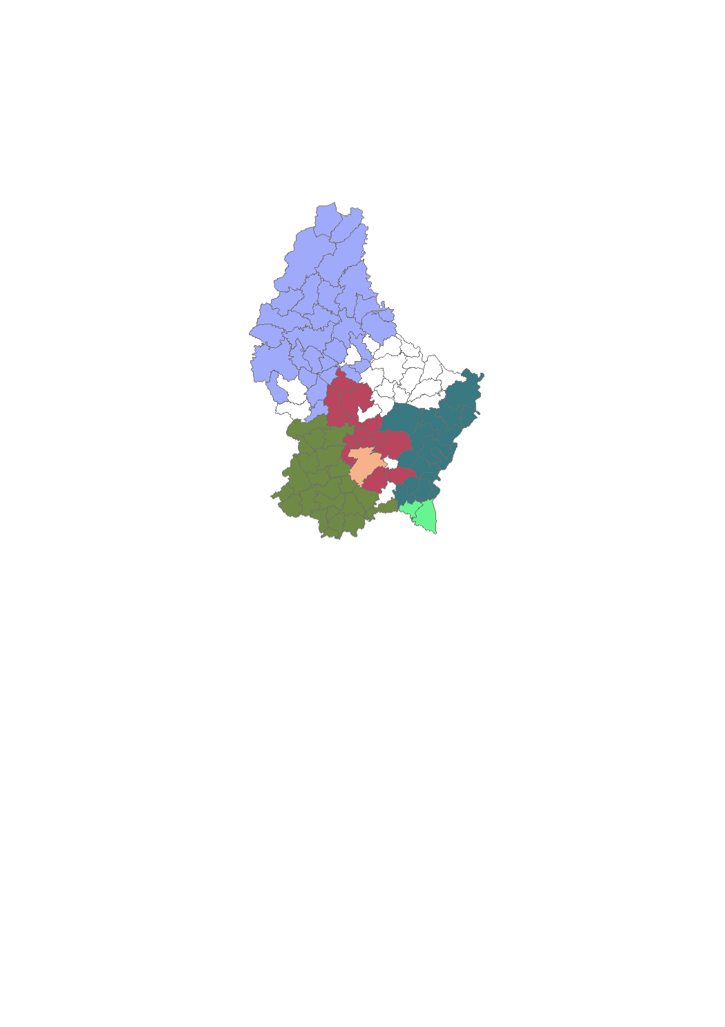
Syndicates supplying drinking water to their member communities.
-
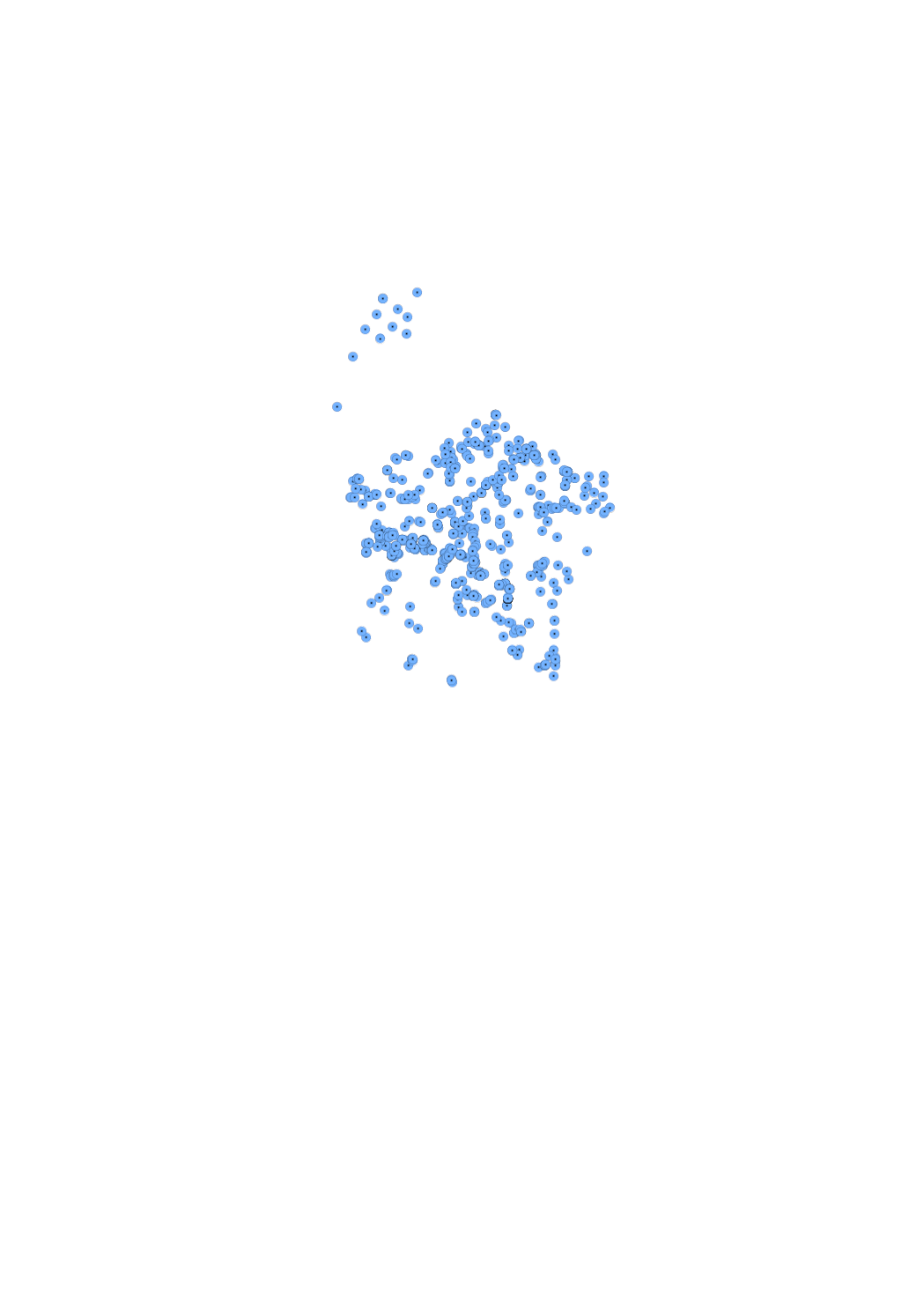
Places where drinking water is withdrawn.
-
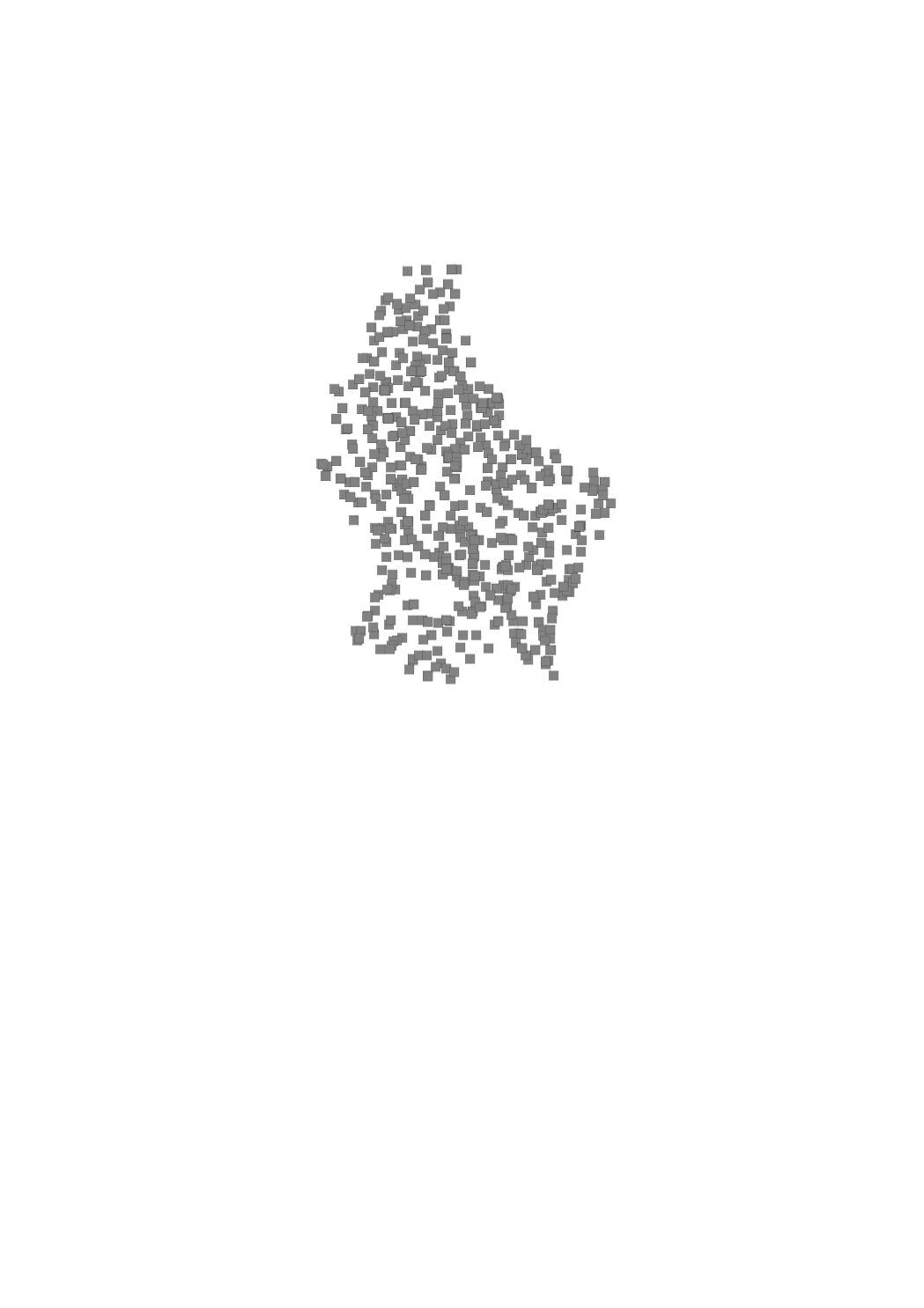
Device intended to collect and store drinking water.
-
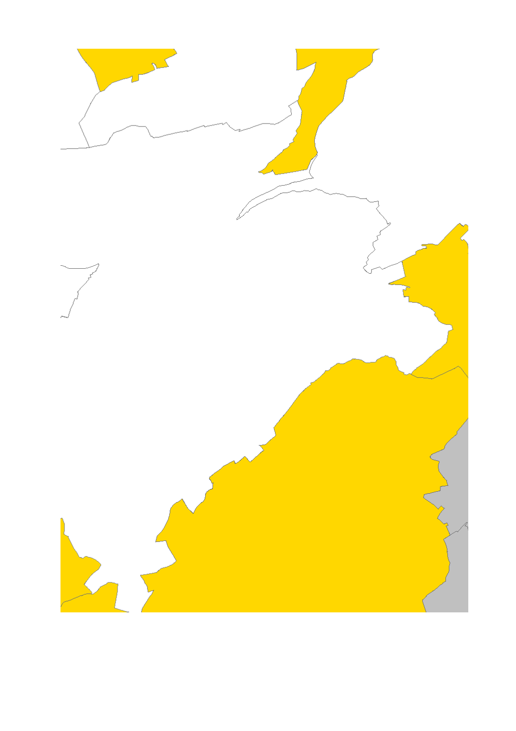
Final product of the b-solutions project GeoConnectGR: lakes and reservoirs - Harmonized geodata of the hydrographic network of the Greater Region (scale 1:25.000 - 1:50.000) - Sources: LVGL Saarland, LVermGeo Rheinland-Pfalz, NGI Belgium, IGN France, ACT Luxembourg - Harmonization: Federal Agency for Cartography and Geodesy (BKG) based on the data model Core Reference Data (CRD) developed by EuroGeographics - This data is published for non-commercial uses under the licence CC BY-NC 4.0: https://creativecommons.org/licenses/by-nc/3.0/legalcode
-
Measuring points of nitrates regarding the nitrate directive, which aiming to reduce nitrates in the groundwater.
-
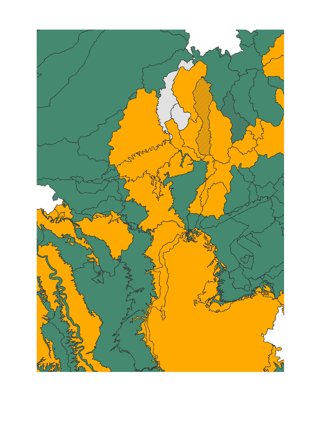
- Chemical and quantitative status of groundwater bodies - Data sources: SPW-DGO3-DEE 2013; MDDI - Administration de la gestion de l'eau 2015; MUEFF 2015; GDI-SL 2015; Agences de l'eau RM-SN-RMC 2015. Harmonization: IGEAT 2018