 geocatalogue.geoportail.lu
environment
Type of resources
Available actions
Topics
Keywords
Contact for the resource
Provided by
Groups
Years
Representation types
Update frequencies
status
Scale
-
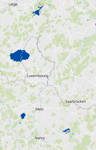
National park Hunsrück-Hochwald in 2022: Buffer zone 2 - Data source: Naturschutzverwaltung Rheinland-Pfalz. Adaptation: SIG-GR / GIS-GR 2022
-
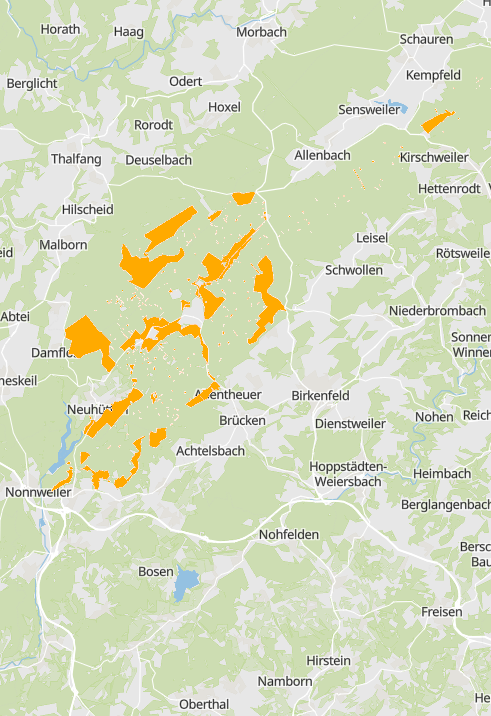
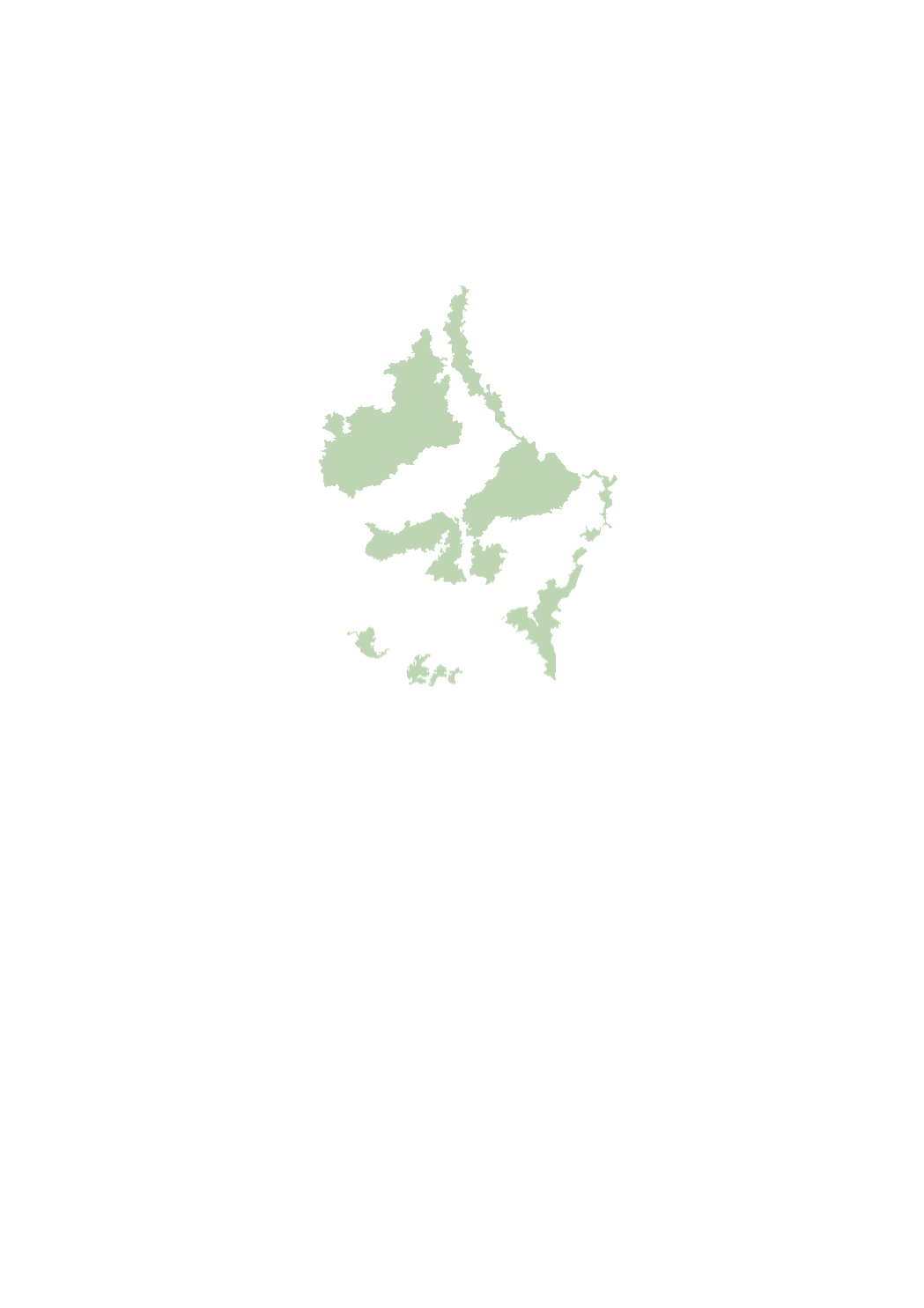
Natura 2000 Sites in 2022: Birds directive - Data sources: Naturschutzverwaltung Rheinland-Pfalz, Ministère de l'Environnement, du Climat et du Développement durable (LU), Ministerium für Umwelt und Verbraucherschutz, LVGL Saarland, DREAL Grand Est, Service Public de Wallonie: Agriculture, Ressources Naturelles et Environnement. Harmonization: SIG-GR / GIS-GR 2022
-
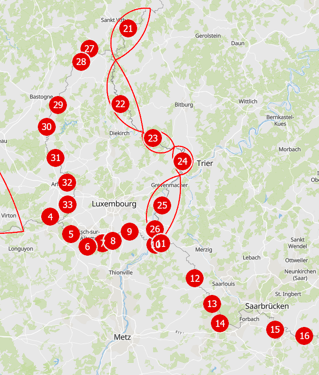
In the detailed programme of measures, the types of measures related to hydromorphology (HY) and urban wastewater management (SWW) which are defined in the catalogue of measures of the third river basin management plan, were assigned to the individual water bodies. The objective of this assignation is to identify for each water body those measures that will help to reduce the pressures and deficits present in the water body, thereby improving its status or maintaining its good status.
-
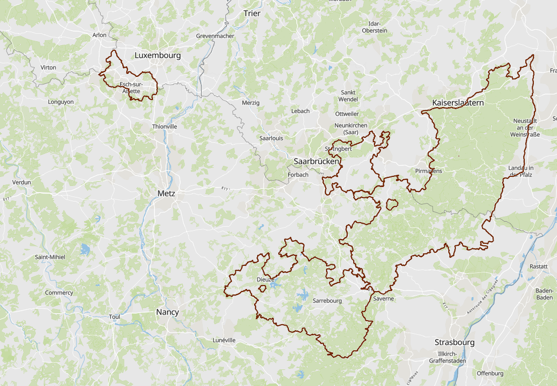
Biosphere reserves in 2022: delimitation - Data sources: Ministère de l’Environnement, du Climat et du Développement durable (LU), Ministère de l’Énergie et de l’Aménagement du territoire (LU), Biosphärenzweckverband, LVGL, Ministerium für Umwelt und Verbraucherschutz Saarland, Parc naturel régional des Vosges du Nord, Naturschutzverwaltung Rheinland-Pfalz. Harmonization: SIG-GR / GIS-GR 2022
-
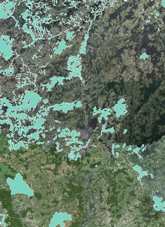
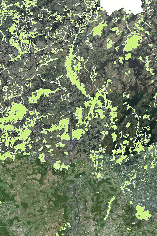
Cross-border ecological transitions 2022 - Data sources: Sub-working group "Biodiversity / Natura 2000" of the Greater Region Summit" in cooperation with GIS-GR
-
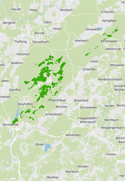
National park Hunsrück-Hochwald in 2022: Nature zone 1a (wilderness areas) - Data source: Naturschutzverwaltung Rheinland-Pfalz. Adaptation: SIG-GR / GIS-GR 2022
-
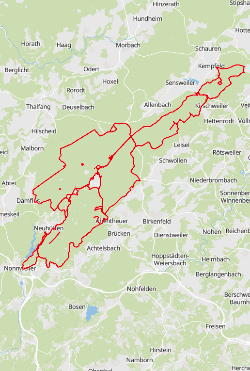
National park Hunsrück-Hochwald in 2022: delimitation - Data source: Naturschutzverwaltung Rheinland-Pfalz. Adaptation: SIG-GR / GIS-GR 2022
-
Ramsar sites in 2022 - Data sources: Ramsar Convention Secretariat, Naturschutzverwaltung Rheinland-Pfalz, Muséum national d'Histoire naturelle (FR). Harmonization: SIG-GR / GIS-GR 2022
-
The sectoral plan ‘landscapes’ aims at creating a framework for spatial planning in the context of the management, planing and protection of the landscapes. For this purpose, it defines protection zones for the large landscape units, the interurban green zone, the green belts as well as the protection zone of the ecological network. http://www.dat.public.lu/plans_caractere_reglementaire/plans_sectoriels/paysage/index.html
-
Natura 2000 Sites in 2022: Habitats directive - Data sources: Naturschutzverwaltung Rheinland-Pfalz, Ministère de l'Environnement, du Climat et du Développement durable (LU), Ministerium für Umwelt und Verbraucherschutz, LVGL Saarland, DREAL Grand Est, Service Public de Wallonie: Agriculture, Ressources Naturelles et Environnement. Harmonization: SIG-GR / GIS-GR 2022