 geocatalogue.geoportail.lu
Main>Environment, Biology and Geology>Water framework directive [WFD]>River Basin Management Plan 2015
Type of resources
Available actions
Topics
Keywords
Contact for the resource
Provided by
Groups
Years
Representation types
Update frequencies
status
Scale
-

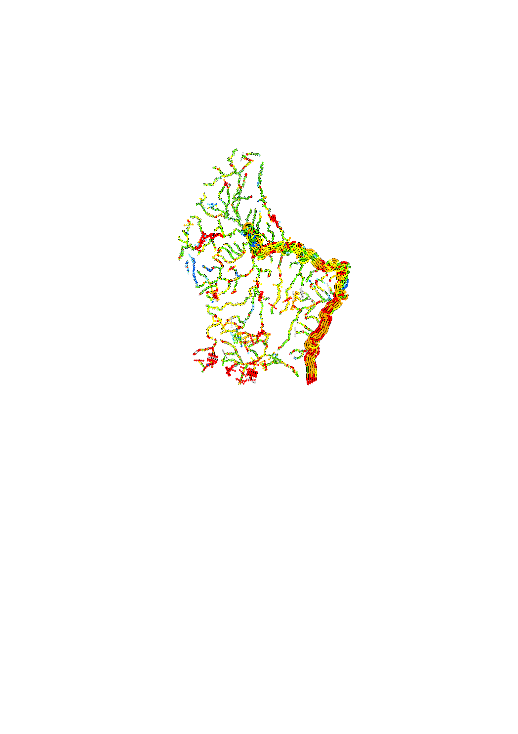
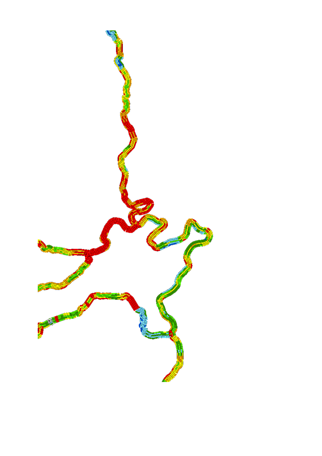
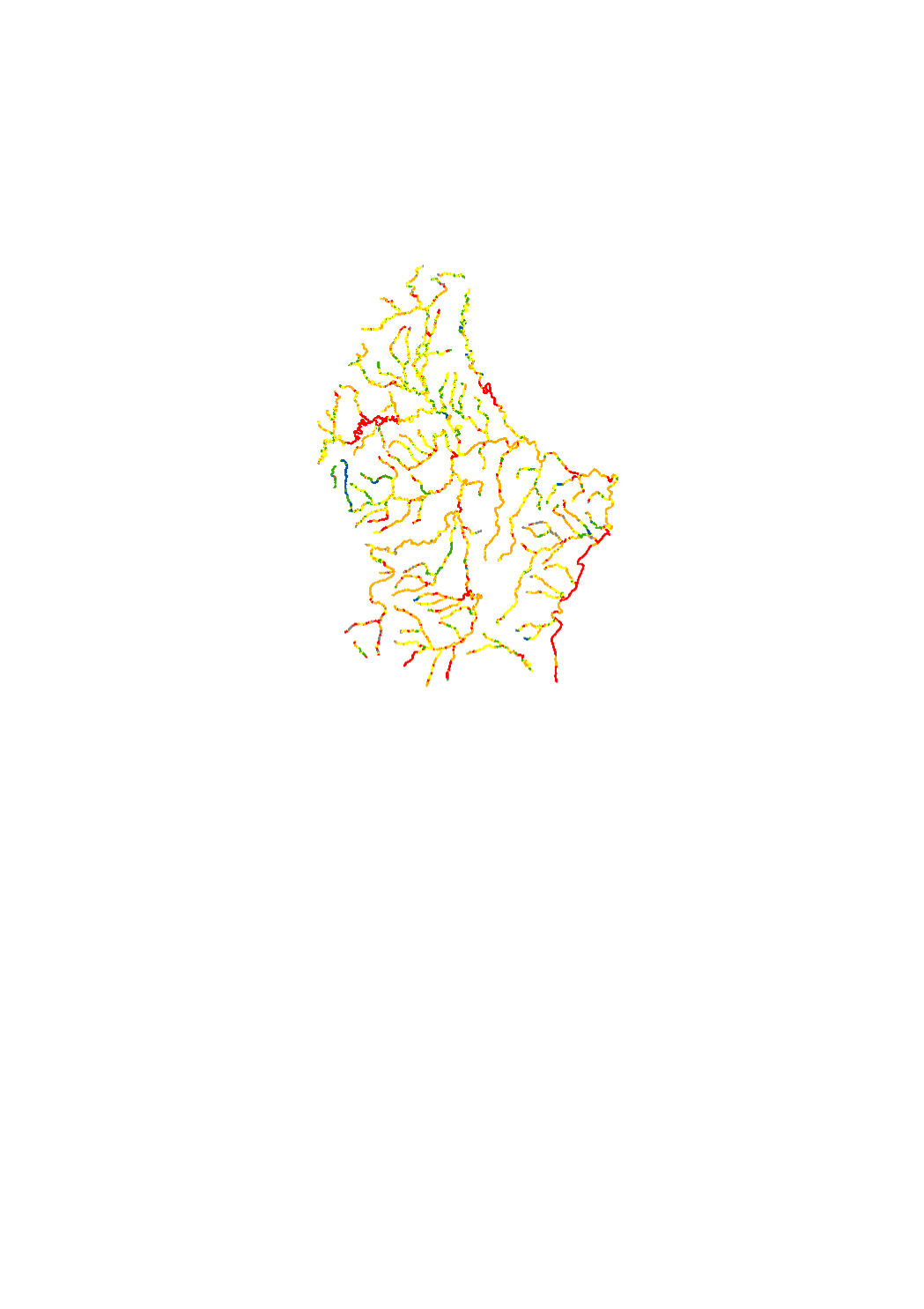
The hydromorphological status was determined by a monitoring compliant with the Water Framework Directive (Directive 2000/60/EU). The elaboration of a structural quality mapping is one part of this monitoring. Within the scope of the work on the structural quality mapping, a total of 31 parameters in the area of the river bed, the river bank and the floodplain are assessed so that the structural quality mapping contains detailed information on the river morphology and the river continuity. In this case, the evaluation of the mapped sections is based on five classes. The areas river bed, left river bank, right riverbank, left floodplain and right floodplain are represented in 5 strips.
-
The hydromorphological status was determined by a monitoring compliant with the Water Framework Directive (Directive 2000/60/EU). The elaboration of a structural quality mapping is one part of this monitoring. Within the scope of the work on the structural quality mapping, a total of 31 parameters in the area of the river bed, the river bank and the floodplain are assessed so that the structural quality mapping contains detailed information on the river morphology and the river continuity. In this case, the evaluation of the mapped sections is based on seven classes. The areas river bed, left river bank, right riverbank, left floodplain and right floodplain are represented in 5 strips.
-
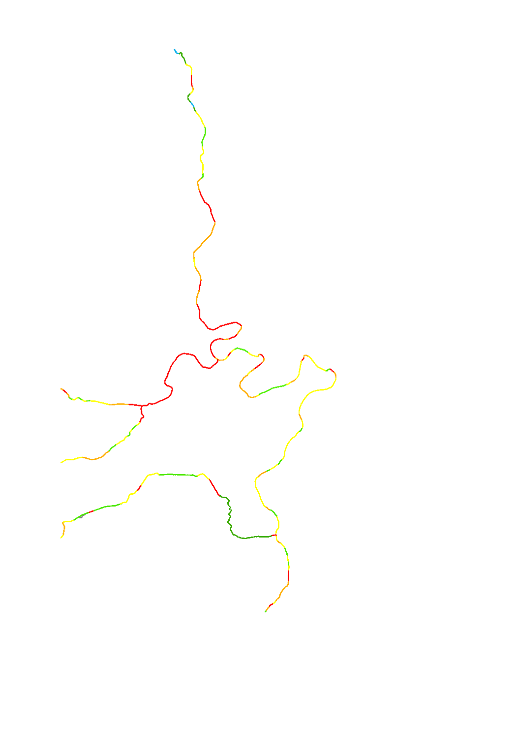
The hydromorphological status was determined by a monitoring compliant with the Water Framework Directive (Directive 2000/60/EU). The elaboration of a structural quality mapping is one part of this monitoring. Within the scope of the work on the structural quality mapping, a total of 31 parameters in the area of the river bed, the river bank and the floodplain are assessed so that the structural quality mapping contains detailed information on the river morphology and the river continuity. In this case, the evaluation of the mapped sections is based on seven classes. The results of the evaluation were aggregated into an overall evaluation per mapped section.
-
The hydromorphological status was determined by a monitoring compliant with the Water Framework Directive (Directive 2000/60/EU). The elaboration of a structural quality mapping is one part of this monitoring. Within the scope of the work on the structural quality mapping, a total of 31 parameters in the area of the river bed, the river bank and the floodplain are assessed so that the structural quality mapping contains detailed information on the river morphology and the river continuity. In this case, the evaluation of the mapped sections is based on five classes. The results of the evaluation were aggregated into an overall evaluation per mapped section.
-
Luxembourg is divided in 6 groundwater bodies: Upper Liassic, Middle Liassic, Lower Liassic, Triassic-Eastern, Triassic-Northern, Devon.
-
In the detailed programme of measures, the types of measures related to hydromorphology (HY) and urban wastewater management (SWW) which are defined in the catalogue of measures of the second river basin management plan, were assigned to the individual water bodies. The objective of this assignation is to identify for each water body those measures that will help to reduce the pressures and deficits present in the water body, thereby improving its status or maintaining its good status. The hydromorphological measures include the improvement of the ecological continuity, the renaturation of water courses as well as the regulation of the minimal flow. Some hydromorphological types of measures can have a positive effect on the reduction of floods.
-
In the detailed programme of measures, the types of measures related to hydromorphology (HY) and urban wastewater management (SWW) which are defined in the catalogue of measures of the second river basin management plan, were assigned to the individual water bodies. The objective of this assignation is to identify for each water body those measures that will help to reduce the pressures and deficits present in the water body, thereby improving its status or maintaining its good status.
-
With regard to the implementation of the Water Framework Directive, specific types of watercourses have been designated for Luxembourg. As in the context of various works the German stream types (LAWA types) are used, these have also been assigned to the Luxembourgish surface water bodies.
-
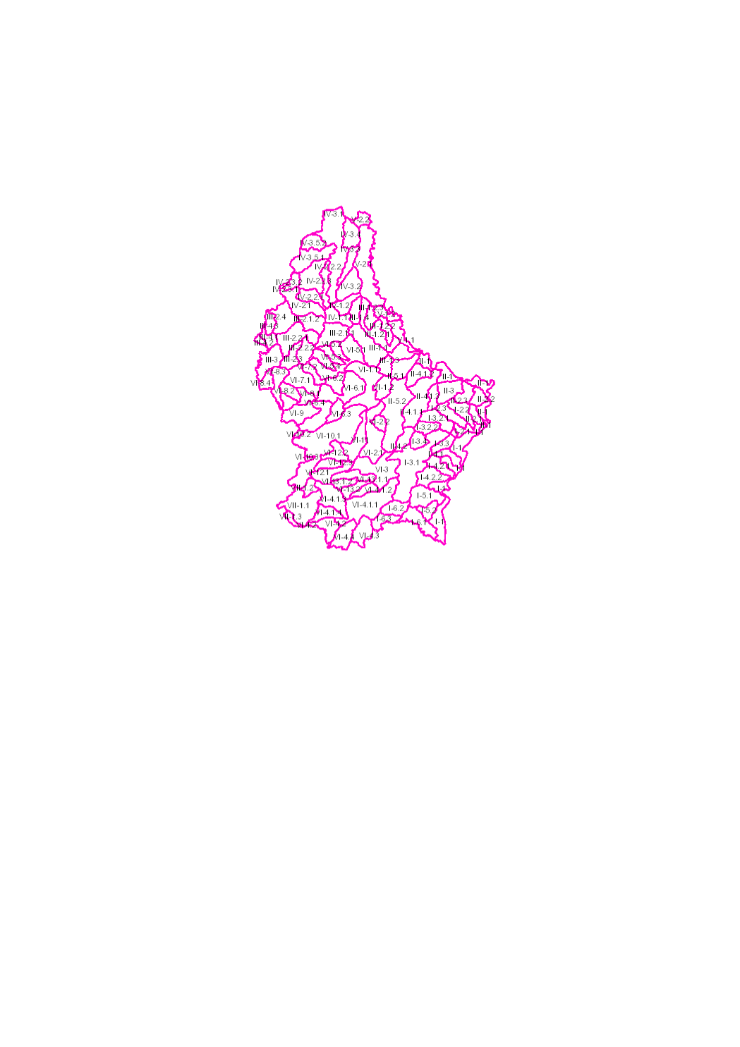
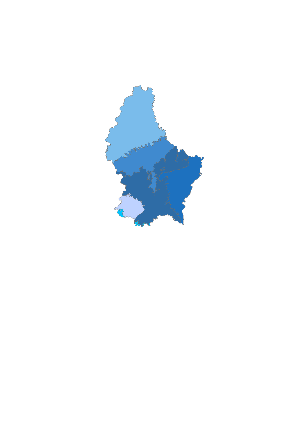
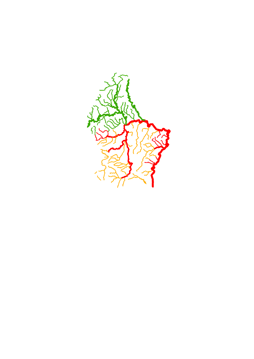
The surface water of Luxembourg are subdivided in 102 water bodies. The identification of water bodies is based on geographical and hydrological determinants. 3 surface water bodies are integrated in the river basin of the "Chiers", part of the river basin district of the Meuse. 99 surface water bodies are integrated in the river basin of the "Moselle", part of the river basin district of the Rhine.