 geocatalogue.geoportail.lu
inlandWaters
Type of resources
Available actions
Topics
Keywords
Contact for the resource
Provided by
Groups
Years
Representation types
Update frequencies
status
Scale
-
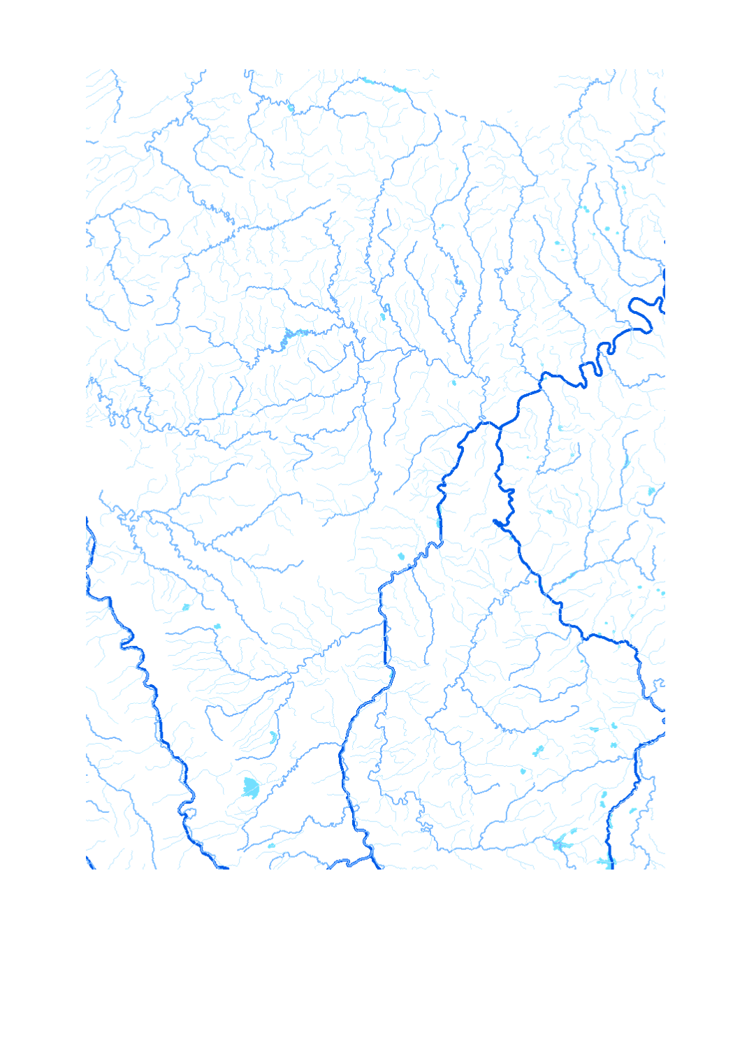
Waterway network of the Greater Region - Data sources: EuroGeographics EuroRegionalMap v3.0 - 2010; ESRI 2006. Harmonization: SIG-GR / GIS-GR 2012
-
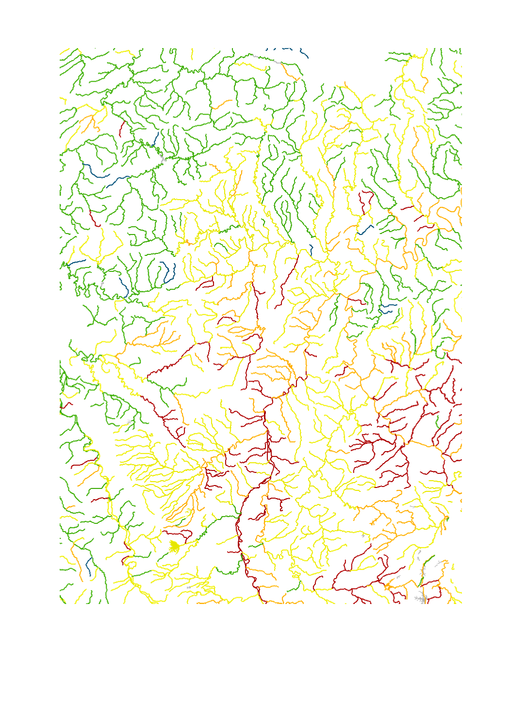
- Ecological status/potential of surface water bodies - Data sources: SPW-DGO3-DEE 2013; MDDI, Administration de la gestion de l'eau 2015; MUEFF 2015; GDI-SL 2015; Agences de l'eau, RM-SN-RMC 2015. Harmonization: IGEAT 2018
-
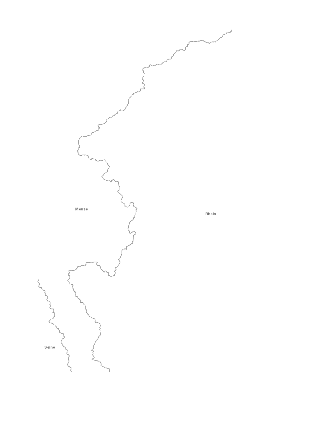
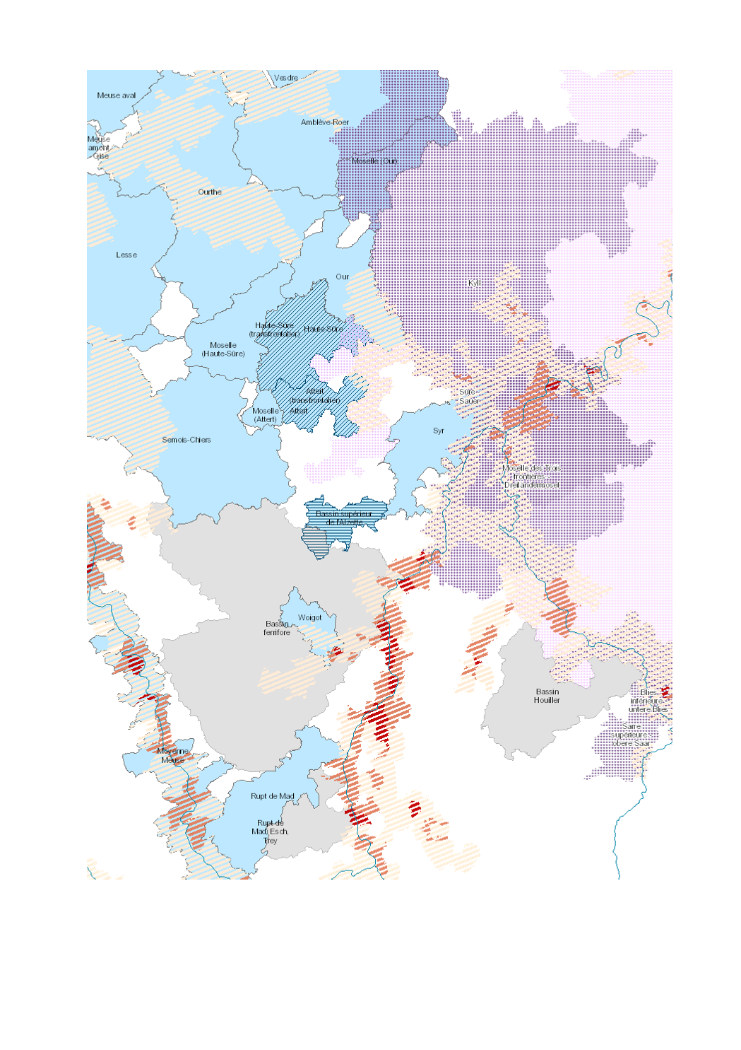
River basin districts 2018 Meuse, Rhine, Rhône, Scheldt, Seine - Source: European Environmental Agency (EEA)
-
Final product of the b-solutions project GeoConnectGR - Harmonized geodata of the hydrographic network of the Greater Region (scale 1:25.000 - 1:50.000) - Sources: LVGL Saarland, LVermGeo Rheinland-Pfalz, NGI Belgium, IGN France, ACT Luxembourg - Harmonization: Federal Agency for Cartography and Geodesy (BKG) based on the data model Core Reference Data (CRD) developed by EuroGeographics - This data is published for non-commercial uses under the licence CC BY-NC 4.0: https://creativecommons.org/licenses/by-nc/3.0/legalcode
-
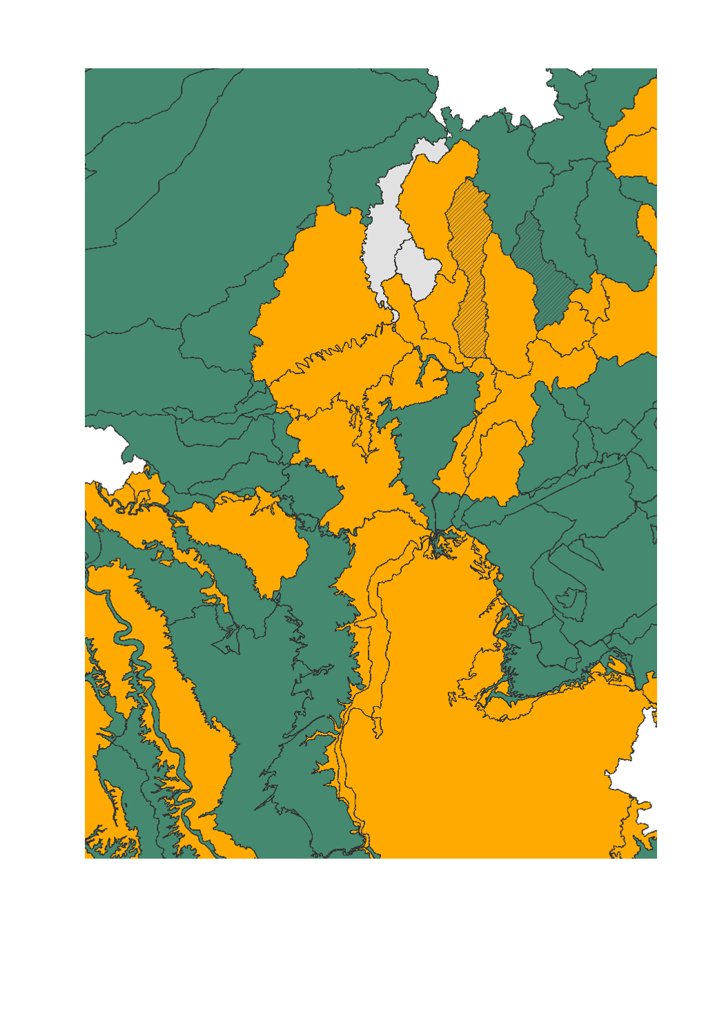
- Chemical and quantitative status of groundwater bodies - Data sources: SPW-DGO3-DEE 2013; MDDI - Administration de la gestion de l'eau 2015; MUEFF 2015; GDI-SL 2015; Agences de l'eau RM-SN-RMC 2015. Harmonization: IGEAT 2018
-
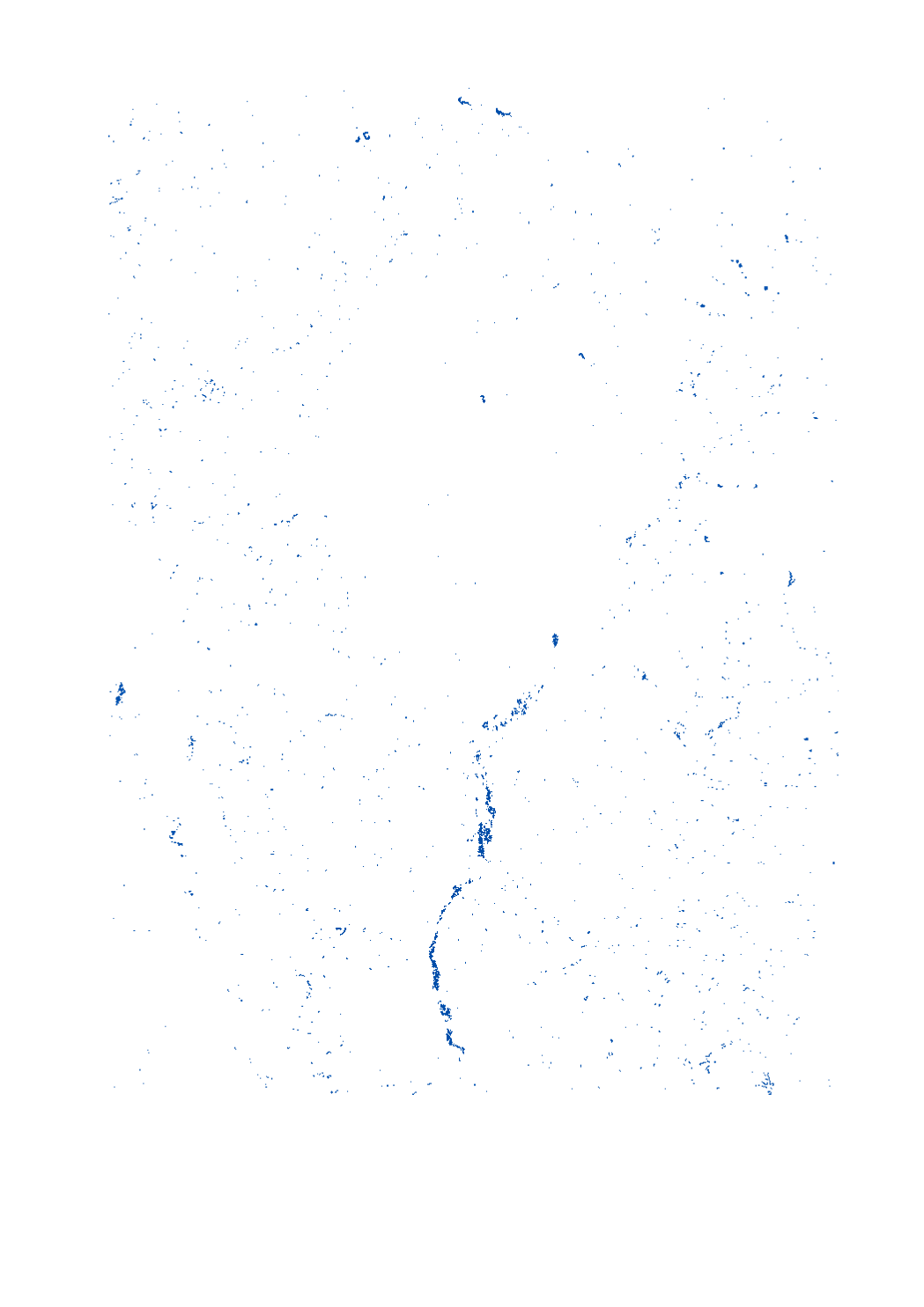
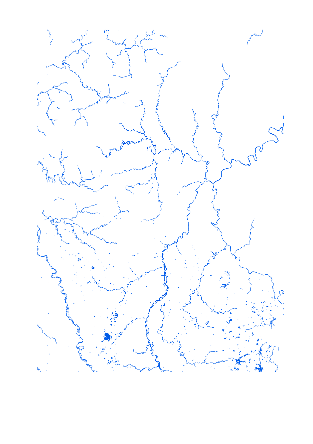
Final product of the b-solutions project GeoConnectGR: lakes and reservoirs - Harmonized geodata of the hydrographic network of the Greater Region (scale 1:25.000 - 1:50.000) - Sources: LVGL Saarland, LVermGeo Rheinland-Pfalz, NGI Belgium, IGN France, ACT Luxembourg - Harmonization: Federal Agency for Cartography and Geodesy (BKG) based on the data model Core Reference Data (CRD) developed by EuroGeographics - This data is published for non-commercial uses under the licence CC BY-NC 4.0: https://creativecommons.org/licenses/by-nc/3.0/legalcode
-
- Surface area of the municipality subject to flood risk (10-year return period) - river contracts - flood partnerships - SAGE - A(l)qua - Sources: SIG-GR / GIS-GR 2018; REEW 2017; Office International de l'Eau, Gest'eau 2015-2016; MDDI 2018; HPI-CIP 2015; IBH RLP 2018. Harmonization: IGEAT 2018;
-
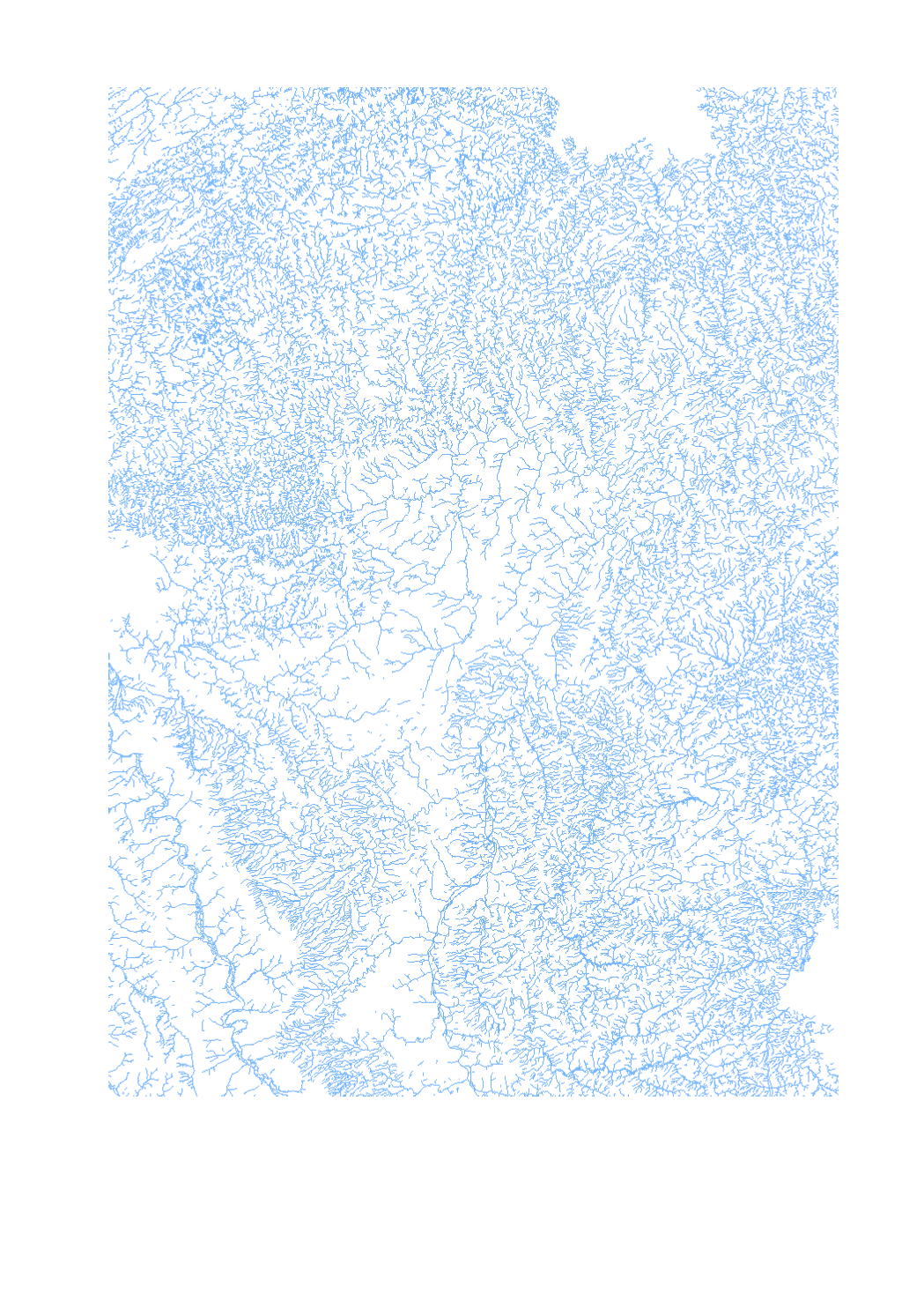
Final product of the b-solutions project GeoConnectGR: linear watercourses - Harmonized geodata of the hydrographic network of the Greater Region (scale 1:25.000 - 1:50.000) - Sources: LVGL Saarland, LVermGeo Rheinland-Pfalz, NGI Belgium, IGN France, ACT Luxembourg - Harmonization: Federal Agency for Cartography and Geodesy (BKG) based on the data model Core Reference Data (CRD) developed by EuroGeographics - This data is published for non-commercial uses under the licence CC BY-NC 4.0: https://creativecommons.org/licenses/by-nc/3.0/legalcode