 geocatalogue.geoportail.lu
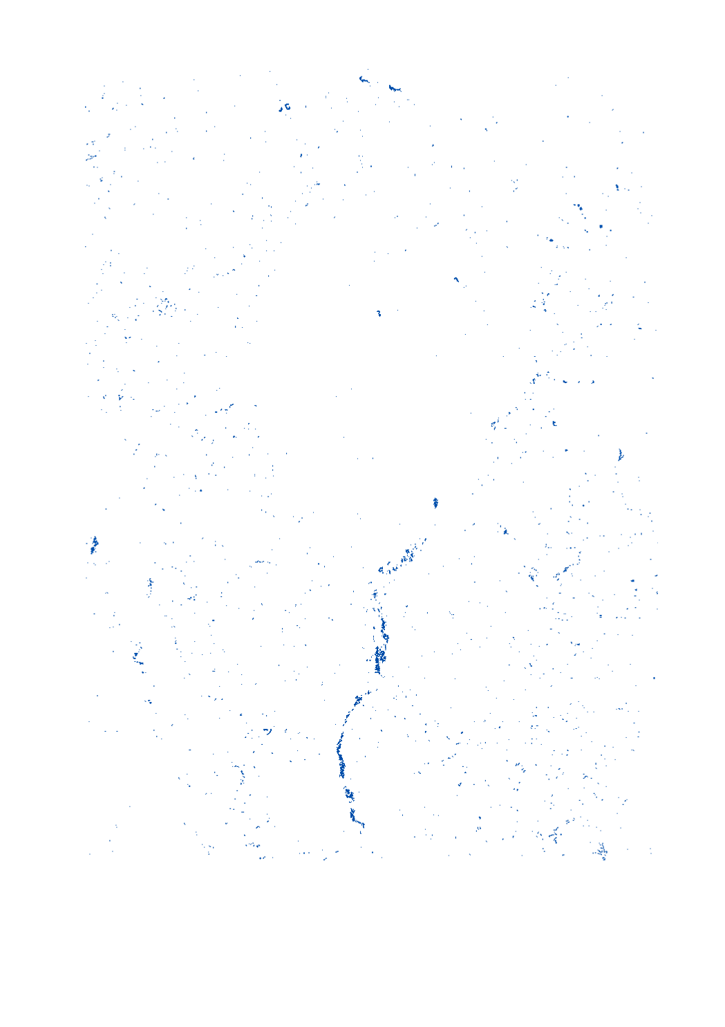
GeoConnectGR: lakes and reservoirs
Final product of the b-solutions project GeoConnectGR: lakes and reservoirs
- Harmonized geodata of the hydrographic network of the Greater Region (scale 1:25.000 - 1:50.000)
- Sources: LVGL Saarland, LVermGeo Rheinland-Pfalz, NGI Belgium, IGN France, ACT Luxembourg
- Harmonization: Federal Agency for Cartography and Geodesy (BKG) based on the data model Core Reference Data (CRD) developed by EuroGeographics
- This data is published for non-commercial uses under the licence CC BY-NC 4.0: https://creativecommons.org/licenses/by-nc/3.0/legalcode
Simple
- Date (Creation)
- 2019-11-05T00:00:00
- Citation identifier
- / bfbcffbc-c0e4-4be3-bc63-1c0af41f3a77
- Presentation form
- Digital map
- Status
- Completed
- Point of contact
-
Organisation name Individual name Electronic mail address Role SIG-GR - Ministère de l'Energie et de l'Aménagement du territoire - Département de l'aménagement du territoire
Thierry Hengen
Author
- Maintenance and update frequency
- As needed
- Keywords
-
-
hydrographic network, lake, reservoir
-
-
Entités dans la Grande Région
-
-
Greater Region
-
-
gis-gr.eu themes
-
-
Environment
-
-
gis-gr.eu structure
-
-
Environment>Hydrographic network GeoConnectGR
-
- Keywords
-
-
gis-gr.eu
-
- Access constraints
- Other restrictions
- Spatial representation type
- Vector
- Denominator
- 50000
- Language
- Deutsch
- Language
- Français
- Language
- English
- Character set
- UTF8
- Topic category
-
- Environment
- Inland waters
))
- Reference system identifier
- EPSG / http://www.opengis.net/def/crs/EPSG/0/3857
- Distribution format
-
Name Version SHAPE
- OnLine resource
-
Protocol Linkage Name WWW:LINK-1.0-http--samples
https://map.gis-gr.eu/theme/environnement?version=3&zoom=8&X=667917&Y=6394482&lang=en&layers=1910&opacities=1&bgLayer=basemap_2015_global Interactive map
WWW:LINK-1.0-http--link
https://data.public.lu/en/datasets/geoconnectgr-lakes-and-reservoirs Open data
OGC:WMS-1.3.0-http-get-map
https://ws.geoportail.lu/wss/service/GR_Hydrographic_network_GeoConnectGR_WMS/guest Lakes_and_reservoirs_2019
WWW:LINK-1.0-http--related
https://creativecommons.org/licenses/by-nc/3.0/legalcode Data licence
OGC:WFS
https://ws.geoportail.lu/wss/service/GR_Hydrographic_network_GeoConnectGR_WFS/guest Hydrographic_network_GeoConnectGR:Lakes_and_reservoirs_2019
Metadata
- File identifier
- bfbcffbc-c0e4-4be3-bc63-1c0af41f3a77 XML
- Metadata language
- Français
- Character set
- UTF8
- Hierarchy level
- Dataset
- Hierarchy level name
-
dataset
- Date stamp
- 2025-01-15T13:31:08
- Metadata standard name
-
ISO 19115:2003/19139
- Metadata standard version
-
1.0
- Metadata author
-
Organisation name Individual name Electronic mail address Role SIG-GR - Ministère de l'Energie et de l'Aménagement du territoire - Département de l'aménagement du territoire
Thierry Hengen
Point of contact
- Other language
-
Language Character encoding English UTF8 German UTF8 French UTF8
)))