 geocatalogue.geoportail.lu
2019
Type of resources
Available actions
Topics
Keywords
Contact for the resource
Provided by
Groups
Years
Representation types
Update frequencies
status
Scale
-
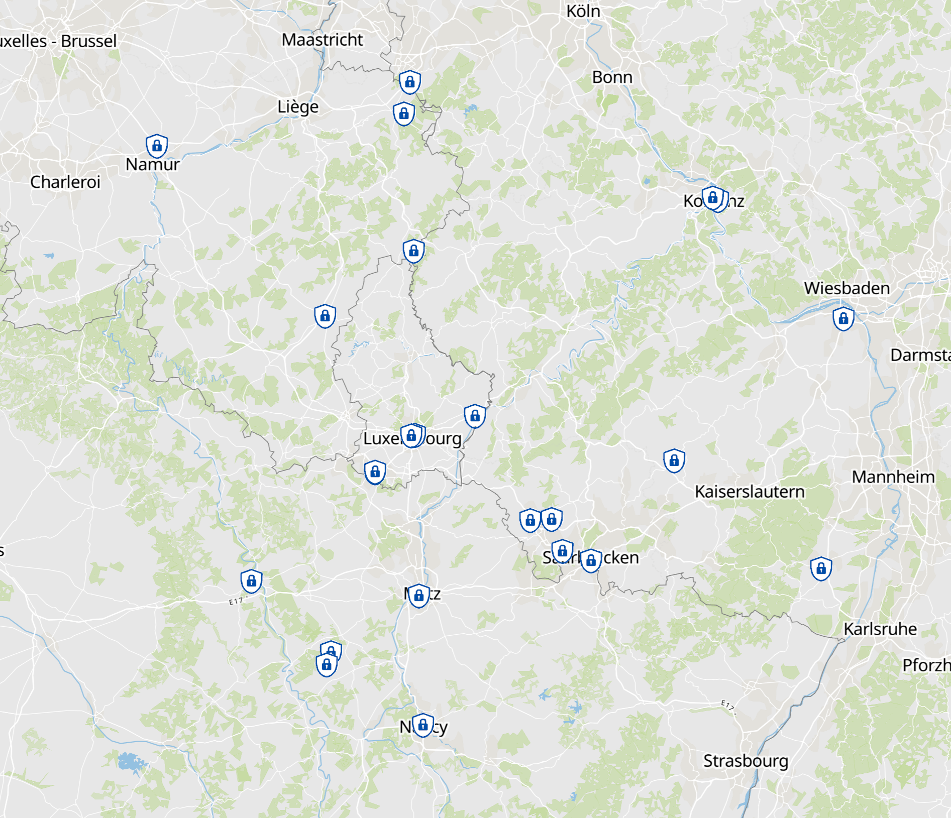
- Calendar 2025 of the Greater Region: Security, prevention and civil protection - Data: Working party Land registry and mapping of the Summit of the Greater Region: Harmonization: GIS-GR 2025
-
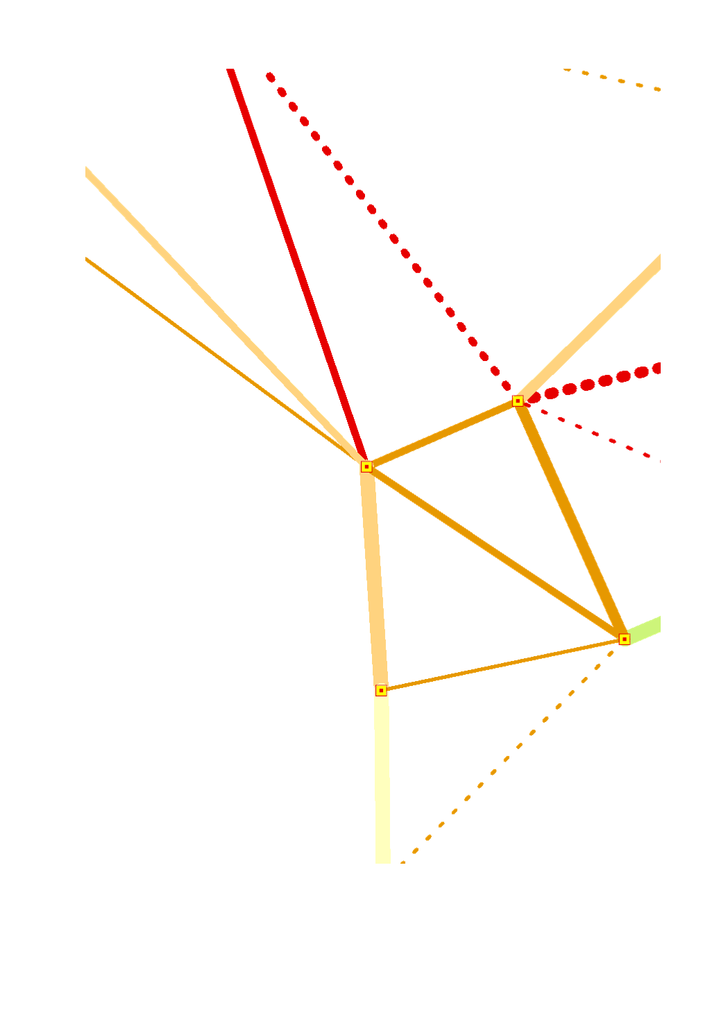
Quality of the intraregional rail connections (2017) based on the linear distance speed of the fastest connection between the major centres of the Greater Region - Sources: FAU, Deutsche Bahn 2017
-
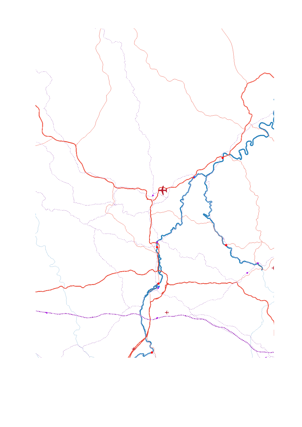
- Airport passengers 2017 - Trimodal hubs rail-road-water - Ports TEN-T Airport passengers 2017 - High-speed railway lines - Railway lines TEN-T - Main roads (core network TEN-T - Secondary roads (comprehensive network TEN-T) - Navigable waterways - Maritime links - Sources: GISCO 2017; SIG-GR / GIS-GR 2017; European Environment Agency - 2012; OSM-2017; European Commission 2017; EUROSTAT 2018. Harmonization: CREAT-UCL 2018
-
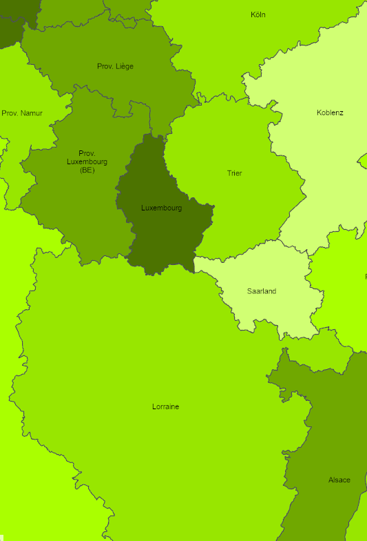
Population (%) aged 30-34 with tertiary educational attainment in 2019 - Territorial entities: NUTS 2 - Data source: European Commission, Eurostat/GISCO 2021. Harmonization: GIS-GR 2022
-
- Number of nights spent and nights/population ratio in 2016 - Territorial level: NUTS 2 - Sources: Eurostat - European Commission 2016, EuroGeographics 2013. Harmonization: Lepur - ULiège
-
- Cross-border commuters from France to Saarland at place of work (Kreise): 2007-2017 - Territorial entities: Landkreise - Commuting data sources: Bundesagentur für Arbeit 2018. Calculations: OIE/IBA 2018 - Geodata sources: GeoBasis-DE / BKG 2017. Harmonization: SIG-GR / GIS-GR 2018
-
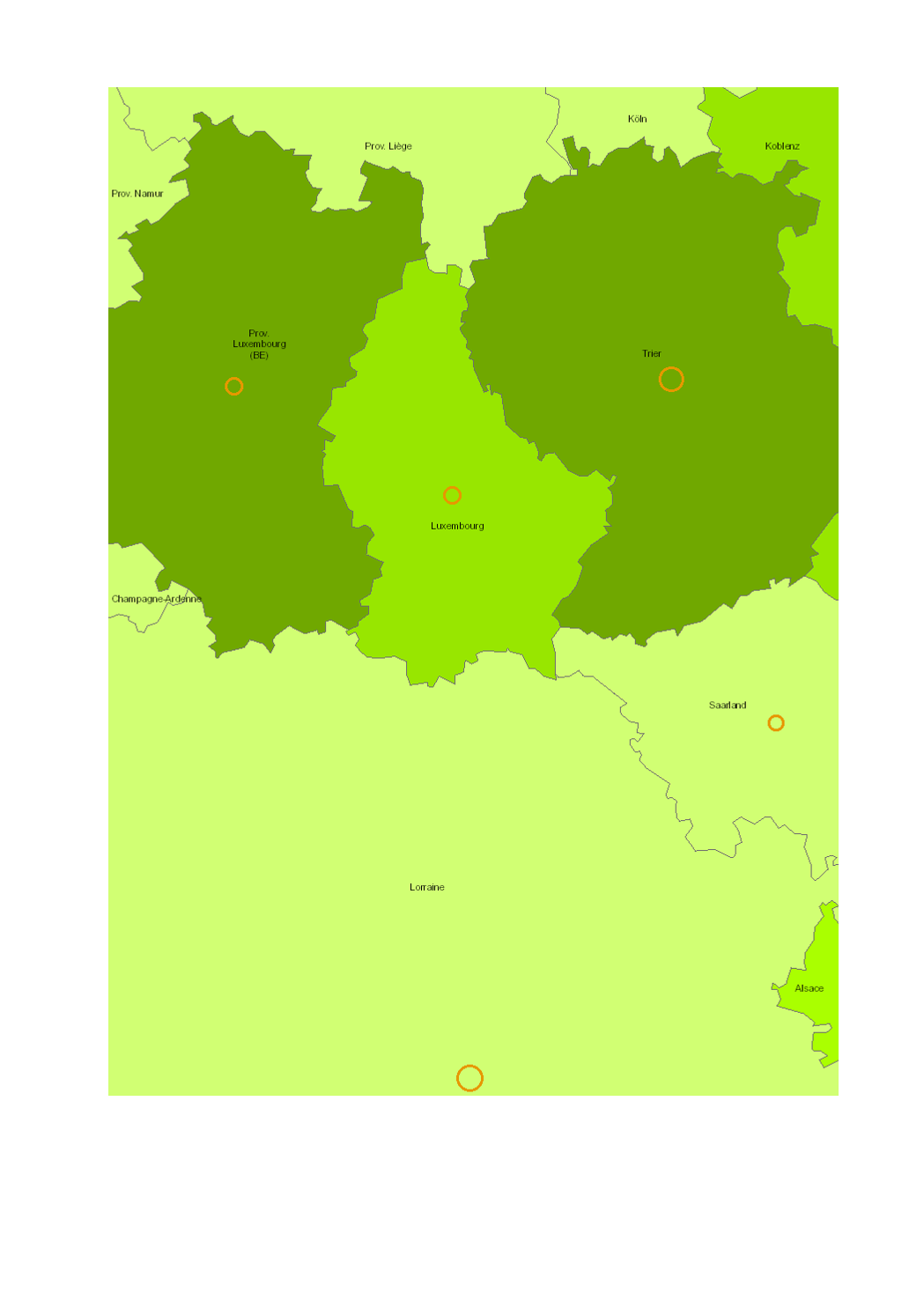
- Ecological status/potential of surface water bodies - Data sources: SPW-DGO3-DEE 2013; MDDI, Administration de la gestion de l'eau 2015; MUEFF 2015; GDI-SL 2015; Agences de l'eau, RM-SN-RMC 2015. Harmonization: IGEAT 2018
-
- Nuclear power plants - Preparation area: evacuation and iodine ingestion - Extension strategy: evacuation and iodine ingestion - Number of SEVESO establishments per municipality - Corine Land Cover 2018: artificial surfacess - Data sources: EEA CORINE Landcover 2018; DREAL 2018; ITM 2018 ; MUEF LFU 2018 ; LUA n.d.; SPW 2016. Harmonization: IGEAT 2018
-
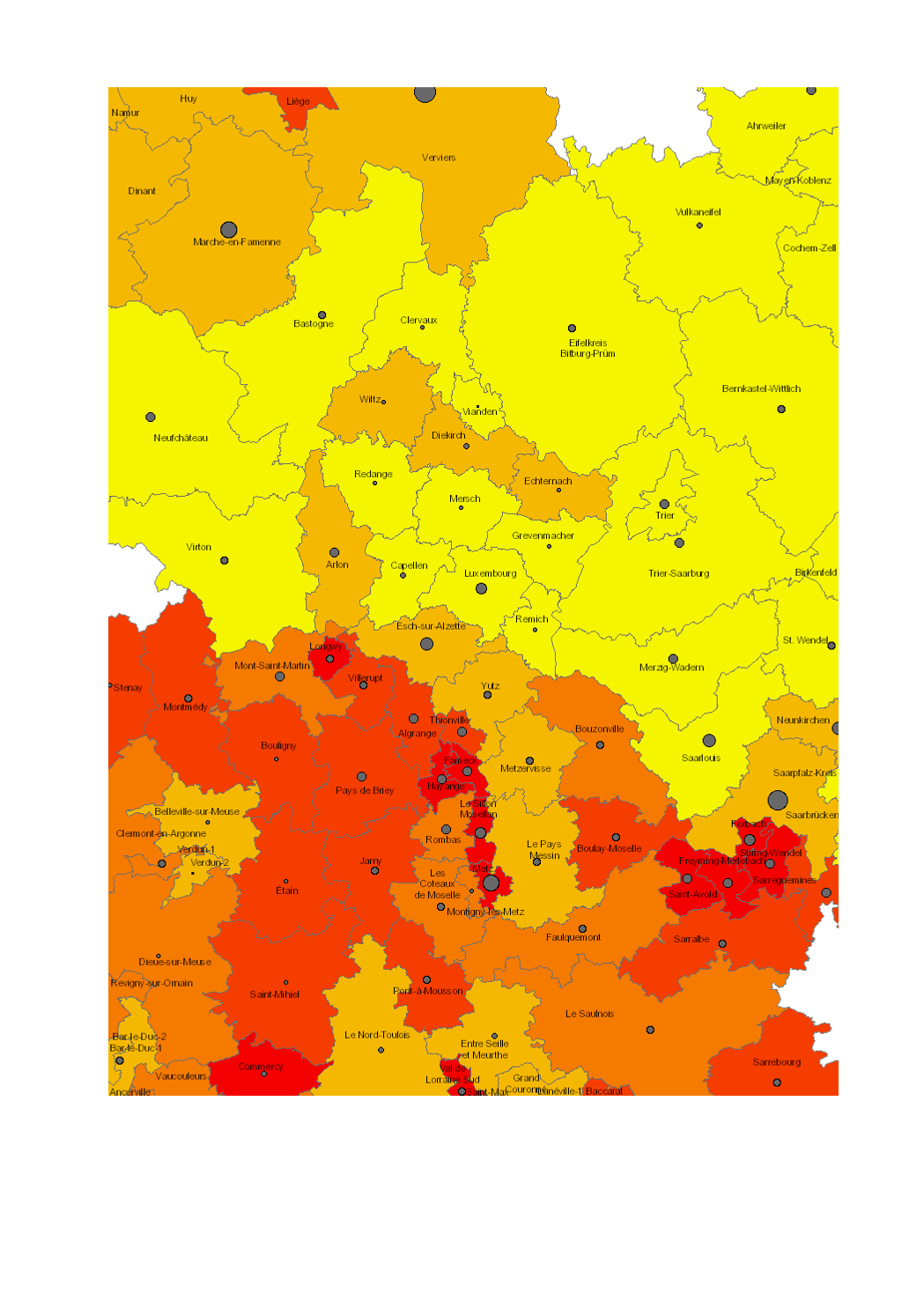
- Number of job seekers in 2016 (Lorraine: 2014) - Unemployment rate 2016 (in %, Lorraine: 2014) - Territorial entities: Cantons (LOR, LUX), Kreise (RLP, SL), arrondissements (WAL) - Statistical data sources: INSEE Grand Est, Statistisches Landesamt Rheinland-Pfalz, Statistisches Amt Saarland, STATEC, IWEPS. Calculations: LISER 2018 - Geodata sources: ACT Luxembourg 2017, IGN France 2017, GeoBasis-DE / BKG 2017, NGI-Belgium 2017. Harmonization: SIG-GR / GIS-GR 2018
-
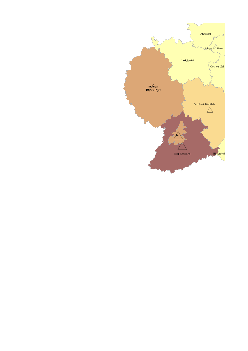
- Cross-border commuters from Rhineland-Palatinate to Luxembourg at place of residence (Kreise): 2009-2017 - Territorial entities: Kreise - Commuting data sources: IGSS 2018. Calculations: OIE/IBA 2018 - Geodata sources: GeoBasis-DE / BKG 2017. Harmonization: SIG-GR / GIS-GR 2018