 geocatalogue.geoportail.lu
inlandWaters
Type of resources
Available actions
Topics
Keywords
Contact for the resource
Provided by
Groups
Years
Representation types
Update frequencies
status
Scale
-
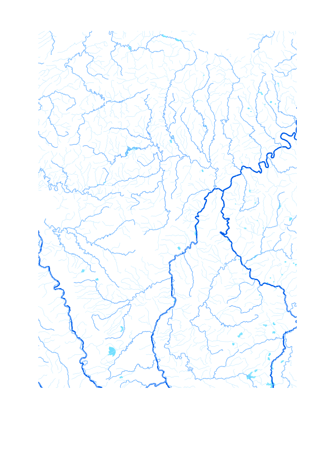
Waterway network of the Greater Region - Data sources: EuroGeographics EuroRegionalMap v3.0 - 2010; ESRI 2006. Harmonization: SIG-GR / GIS-GR 2012
-
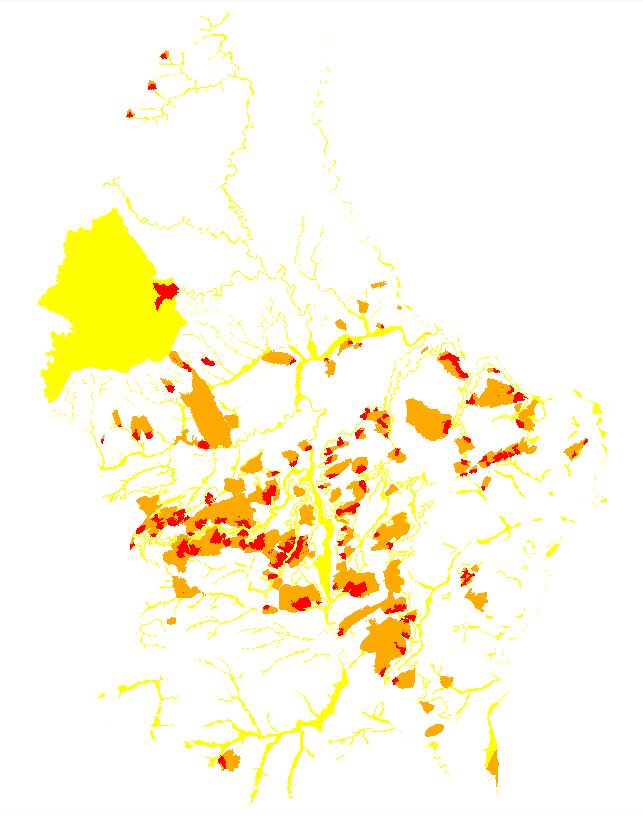
Repertoire of all wetlands in Luxembourg as marshy lands and areas and alluvial forests.
-
Earthworks
-
All artificial water expanses and basins.
-
Zones AGE national warning system LU-Alert
-

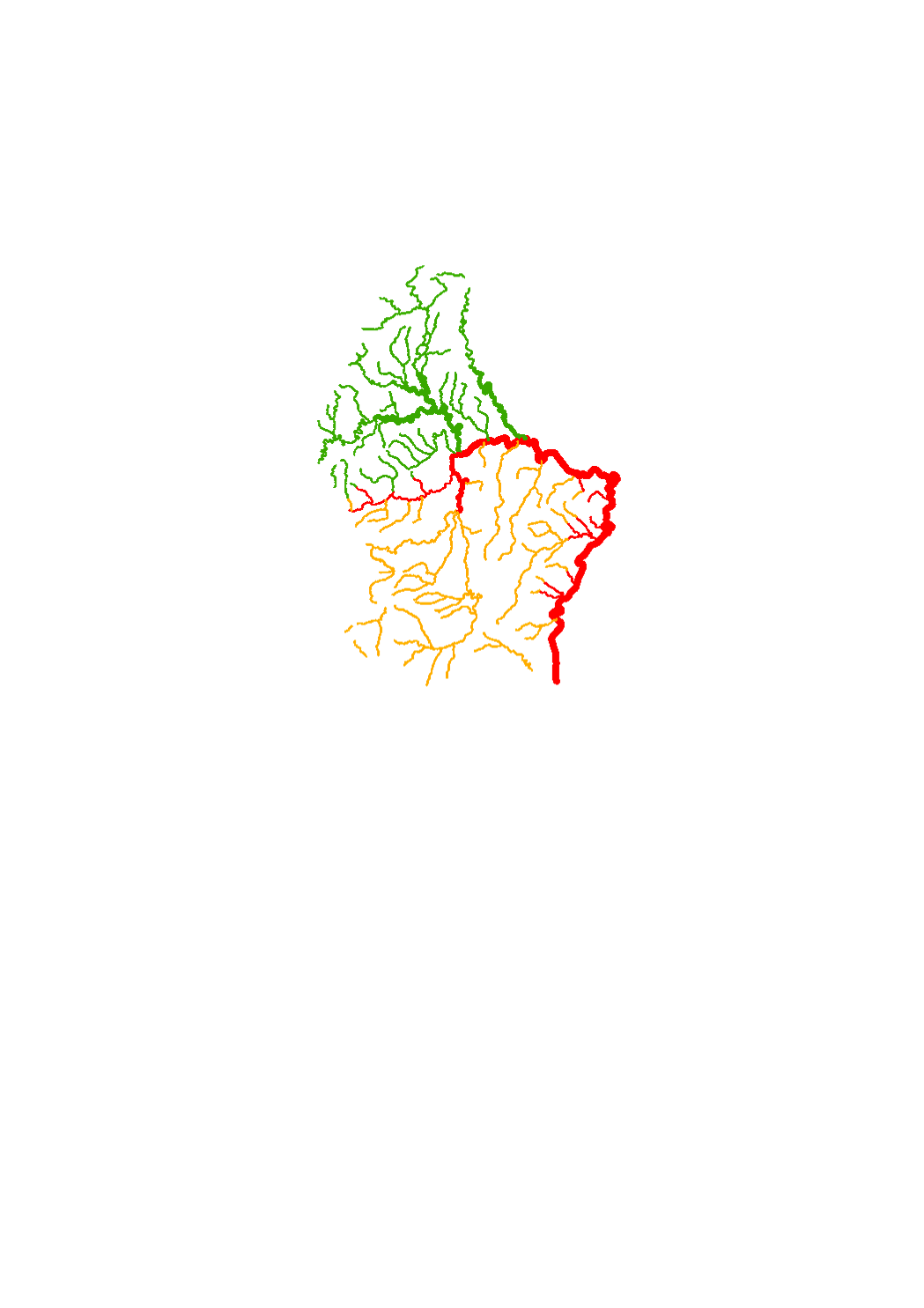
Luxembourg's surface water bodies have been grouped into so-called "study zones", which essentially correspond to the country's major catchment areas. Seven study zones have been designated in total.
-
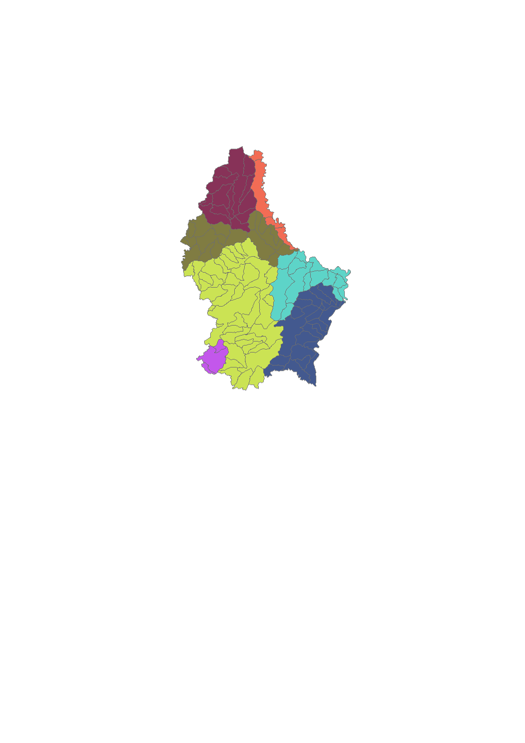
Luxembourg's surface water bodies have been grouped into so-called "study zones", which essentially correspond to the country's major catchment areas. Seven study zones have been designated in total.
-
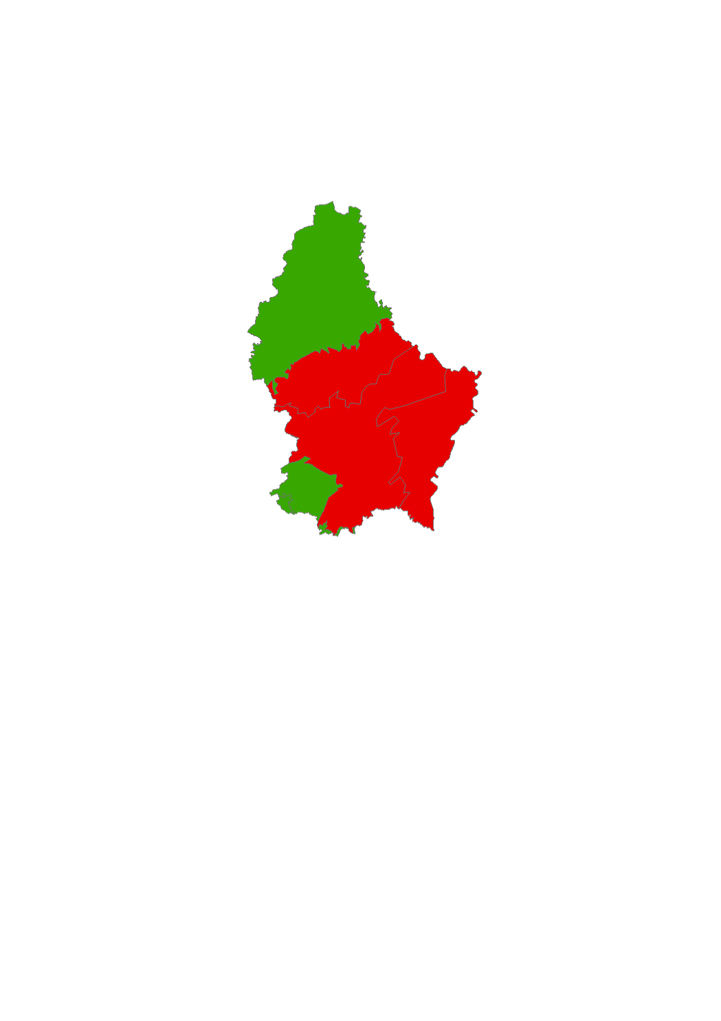
Status of the water bodies 2009
-

Chemical status of the water bodies 2009
-
Surface water courses that are part of the monitoring network.