 geocatalogue.geoportail.lu
5000
Type of resources
Available actions
Topics
Keywords
Contact for the resource
Provided by
Groups
Years
Representation types
Update frequencies
status
Scale
-

This layer contains the regulations contained in the land use plan of the Préizerdaul municipality. The information in this geoportal layer have no legal value and must be considered as mere indications related to the original document. The original plan can be viewed in the Préizerdaul administration.
-
Repertoire of all wetlands in Luxembourg as marshy lands and areas and alluvial forests.
-
All artificial water expanses and basins.
-

This layer contains the regulations contained in the land use plan of the municipality of Lintgen. The information in this geoportal layer has no legal value and must be considered as mere indications related to the original document. The original plan can be viewed in the local administration.
-

Luxembourg's surface water bodies have been grouped into so-called "study zones", which essentially correspond to the country's major catchment areas. Seven study zones have been designated in total.
-
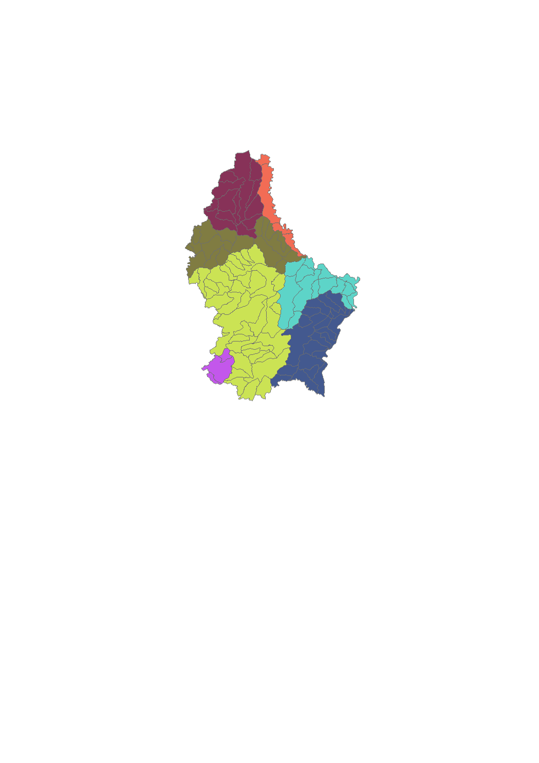
Luxembourg's surface water bodies have been grouped into so-called "study zones", which essentially correspond to the country's major catchment areas. Seven study zones have been designated in total.
-
Status of the water bodies 2009
-

Chemical status of the water bodies 2009
-
Surface water courses that are part of the monitoring network.
-
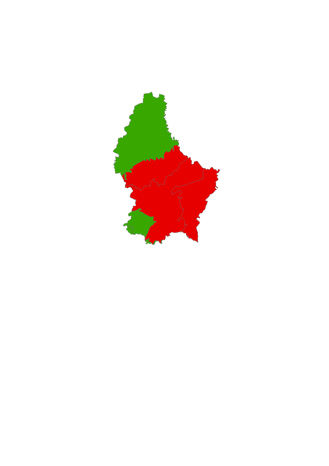
The surface water of Luxembourg are subdivided in 106 water bodies. The identification of water bodies is based on geographical and hydrological determinants. 3 surface water bodies are integrated in the river basin of the "Chiers", part of the river basin district of the Meuse. 103 surface water bodies are integrated in the river basin of the "Moselle", part of the river basin district of the Rhine.