 geocatalogue.geoportail.lu
250000
Type of resources
Available actions
Topics
Keywords
Contact for the resource
Provided by
Groups
Years
Representation types
Update frequencies
status
Scale
-
UniGR cross-border study DFHI-ISFATES: European Construction Management (M.Sc.) - Source: DFHI-ISFATES
-
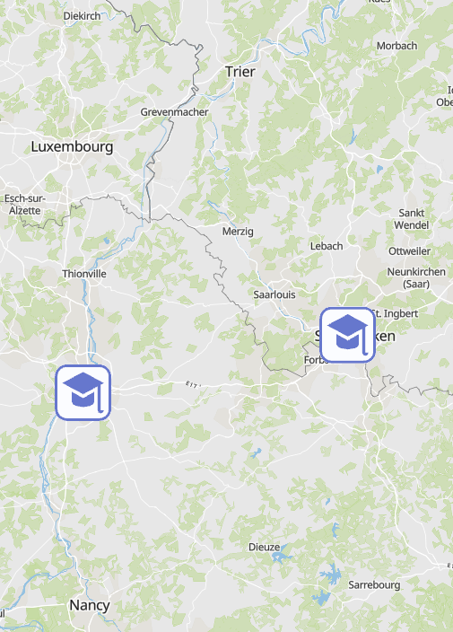
UniGR cross-border study DFHI-ISFATES: Electrical Engineering - Renewable Energies and Systems Engineering (B.Sc.) - Source: DFHI-ISFATES
-
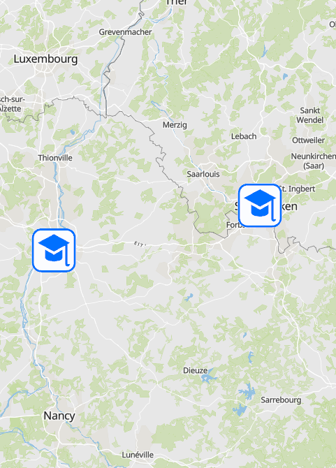
UniGR cross-border study programme: EEIGM - École Européenne d'Ingénieurs en Génie des Matériaux (B.Sc.) - Source: UniGR
-
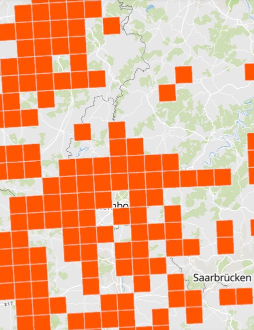
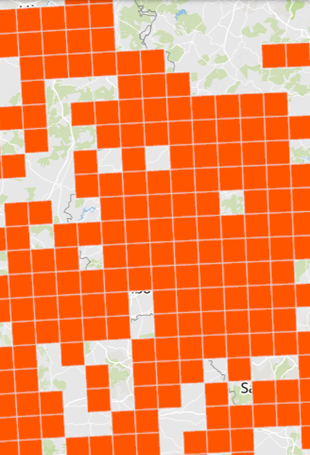
Presence of the Geoffroy's bat (Myotis emarginatus) - Illustration as grid cells 10x10km - Data sources: MNHN Luxemburg, MNHN France, Ministerium für Umwelt und Verbraucherschutz Saarland, Landesamt für Umwelt (LfU) Rheinland-Pfalz, SPW/ARNE/DEMNA, Natagora and collaborators
-
Presence of the Whiskered Bat (Myotis mystanicus) - Illustration as grid cells 10x10km - Data sources: MNHN Luxemburg, MNHN France, Ministerium für Umwelt und Verbraucherschutz Saarland, Landesamt für Umwelt (LfU) Rheinland-Pfalz, SPW/ARNE/DEMNA, Natagora and collaborators
-
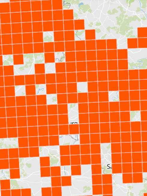
Presence of the Natterer's Bat (Myotis nattereri) - Illustration as grid cells 10x10km - Data sources: MNHN Luxemburg, MNHN France, Ministerium für Umwelt und Verbraucherschutz Saarland, Landesamt für Umwelt (LfU) Rheinland-Pfalz, SPW/ARNE/DEMNA, Natagora and collaborators
-
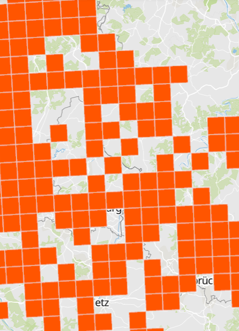
Presence of the Lesser noctule (Nyctalus leisleri) - Illustration as grid cells 10x10km - Data sources: MNHN Luxemburg, MNHN France, Ministerium für Umwelt und Verbraucherschutz Saarland, Landesamt für Umwelt (LfU) Rheinland-Pfalz, SPW/ARNE/DEMNA, Natagora and collaborators
-
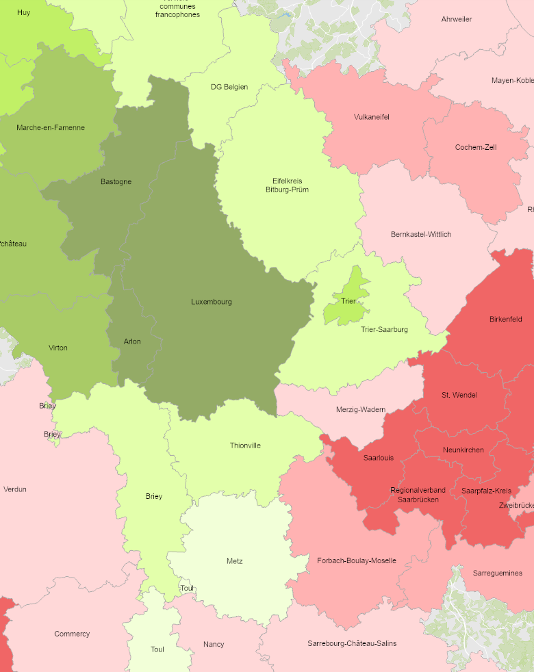
- Change in working age population (20-64 years) 2000-2021 (Lorraine: 1999-2019) - Territorial entities: arrondissements (Lorraine, Wallonie), Grand Duchy (Luxembourg), Kreise (Saarland, Rheinland-Pfalz) - Statistical data sources: Destatis, INSEE, Statbel, STATEC. Calculations: OIE/IBA 2022 - Geodata sources: ACT Luxembourg 2017, IGN France 2017, GeoBasis-DE / BKG 2017, NGI-Belgium 2017. Harmonization: SIG-GR / GIS-GR 2022
-
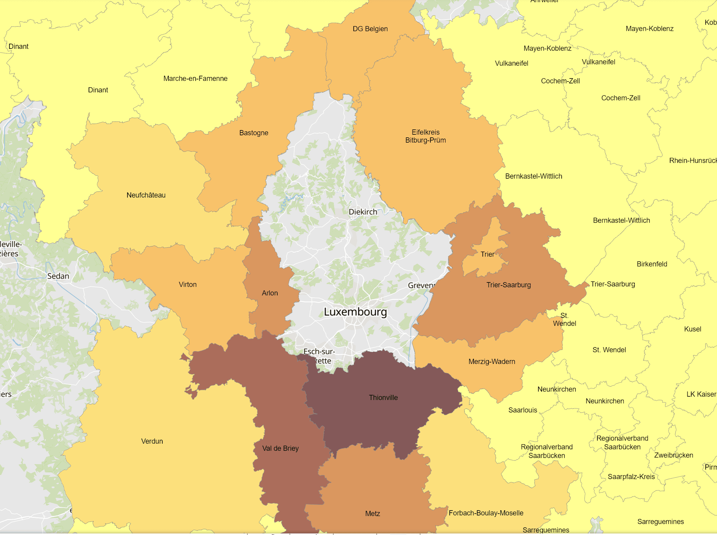
- Cross-border commuters to Luxembourg at place of residence in 2023 - Territorial entities: Kreise, arrondissements - Commuting data sources: IGSS. Calculations: OIE/IBA 2024 - Geodata sources: GeoBasis-DE / BKG, IGN France, NGI-Belgium. Harmonization: SIG-GR / GIS-GR 2024
-
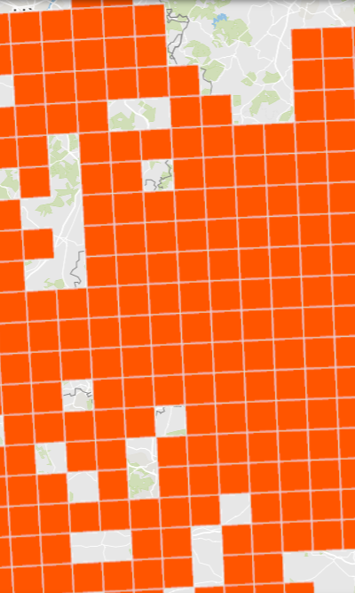
Presence of the Greater mouse-eared bat (Myotis myotis) - Illustration as grid cells 10x10km - Data sources: MNHN Luxemburg, MNHN France, Ministerium für Umwelt und Verbraucherschutz Saarland, Landesamt für Umwelt (LfU) Rheinland-Pfalz, SPW/ARNE/DEMNA, Natagora and collaborators