 geocatalogue.geoportail.lu
Water>Water framework directive [WFD]>River Basin Management Plan 2021
Type of resources
Available actions
Topics
Keywords
Contact for the resource
Provided by
Groups
Years
Representation types
Update frequencies
status
Scale
-
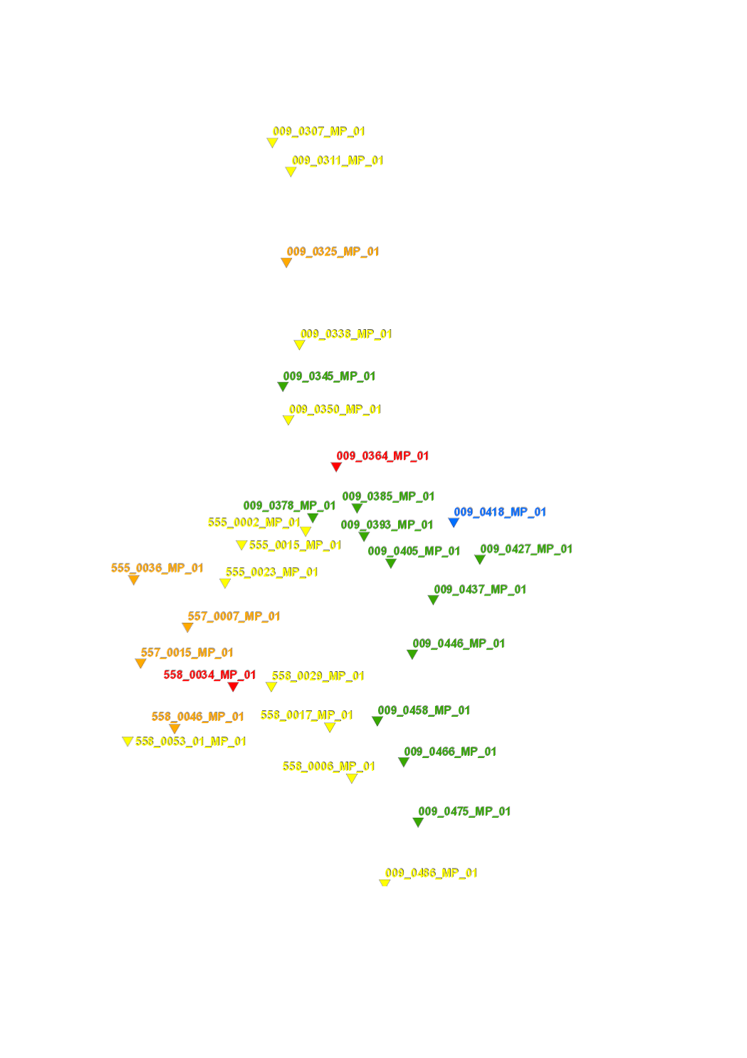
Detailed inventory of crossing structures which represent an obstacle to the ecological continuity for fish or sediments (e.g. culverts).
-
Detailed inventory of transversal structures which represent an obstacle to the ecological continuity for fish or sediments (e.g. weirs, dams, ramps, waterfalls).
-
Detailed cartography of substrate based on the analysis of 100 meters representative river sections, every 1000 meters.
-
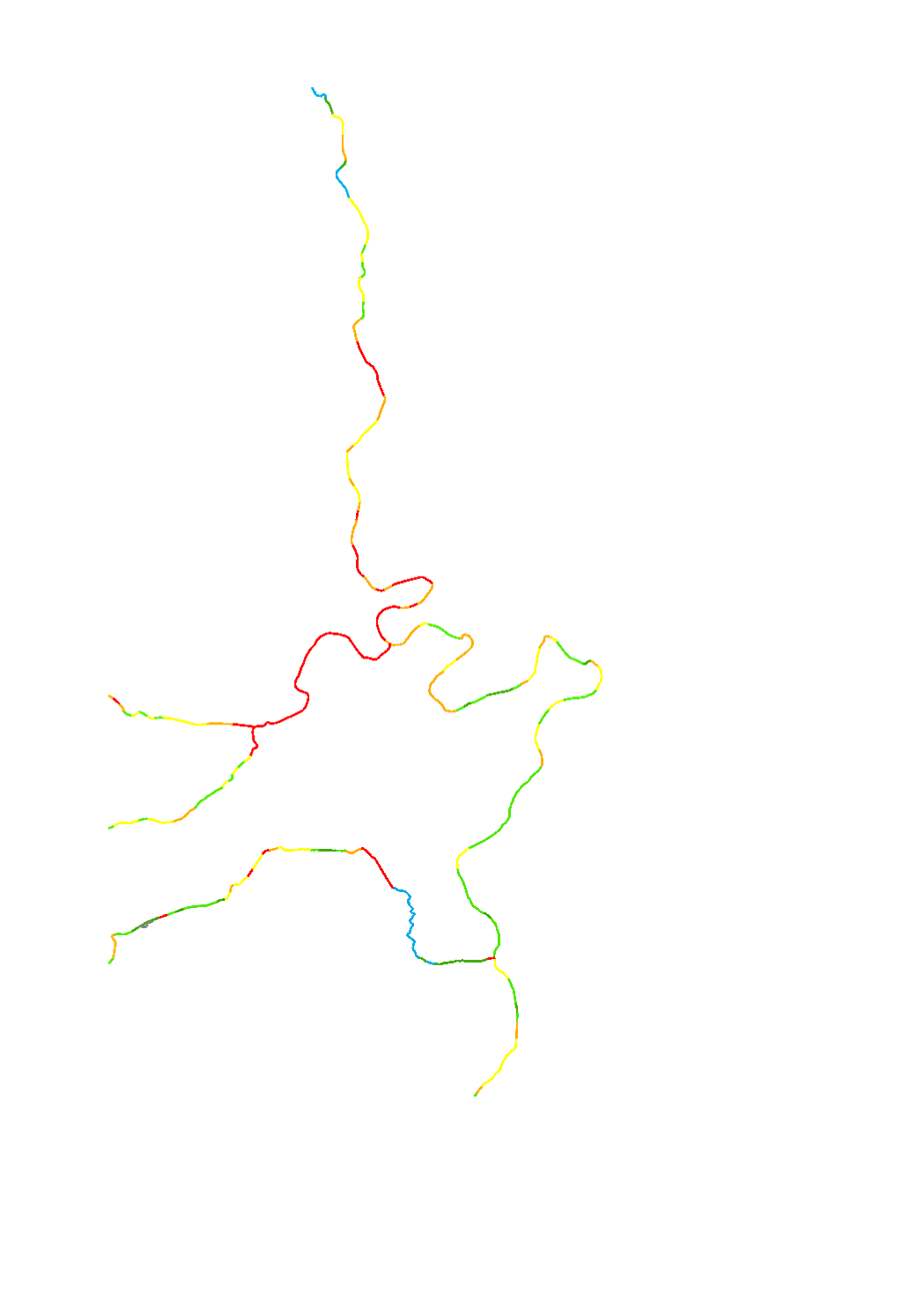
The hydromorphological status was determined by a monitoring compliant with the Water Framework Directive (Directive 2000/60/EU). The elaboration of a structural quality mapping is one part of this monitoring. Within the scope of the work on the structural quality mapping, a total of 31 parameters in the area of the river bed, the river bank and the floodplain are assessed so that the structural quality mapping contains detailed information on the river morphology and the river continuity. In this case, the evaluation of the mapped sections is based on seven classes. The results of the evaluation were aggregated into an overall evaluation per mapped section.
-
Cartography of cross profiles of a representative river section every 1000 meters. The assessment of the rate of river incision was calculated from the ratio between bankfull height and bankfull width.
-
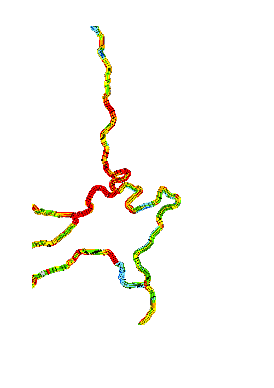
The hydromorphological status was determined by a monitoring compliant with the Water Framework Directive (Directive 2000/60/EU). The elaboration of a structural quality mapping is one part of this monitoring. Within the scope of the work on the structural quality mapping, a total of 31 parameters in the area of the river bed, the river bank and the floodplain are assessed so that the structural quality mapping contains detailed information on the river morphology and the river continuity. In this case, the evaluation of the mapped sections is based on five classes. The areas river bed, left river bank, right riverbank, left floodplain and right floodplain are represented in 5 strips.
-
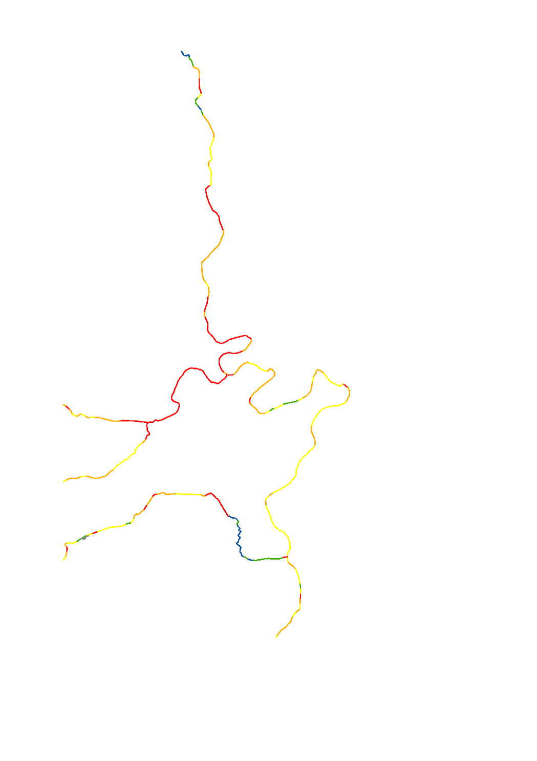
The hydromorphological status was determined by a monitoring compliant with the Water Framework Directive (Directive 2000/60/EU). The elaboration of a structural quality mapping is one part of this monitoring. Within the scope of the work on the structural quality mapping, a total of 31 parameters in the area of the river bed, the river bank and the floodplain are assessed so that the structural quality mapping contains detailed information on the river morphology and the river continuity. In this case, the evaluation of the mapped sections is based on five classes. The results of the evaluation were aggregated into an overall evaluation per mapped section.
-
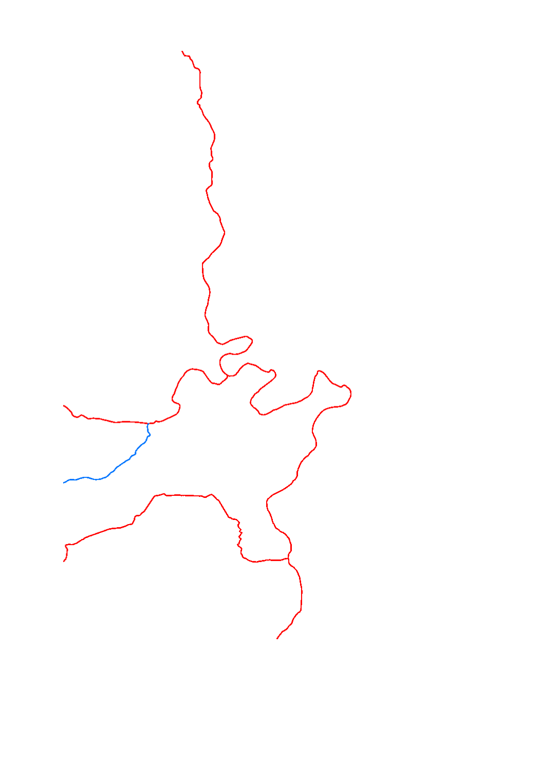
The chemical status of the surface water bodies is assessed as being good or failing to achieve good chemical status. The assessment of the chemical status for the third river basin management plan is based on the list of substances of directive 2008/105/EC and the environmental quality standards established by the new directive 2013/39/EC. The assessment without the ubiquist substances permits to get a differentiated picture of the actual situation.
-

The ecological status of the natural surface water bodies is assessed in 5 classes going from 1 to 5 (high, good, moderate, poor, bad). The classification of the ecological status is based on the biological quality elements, physico-chemical quality elements and in some cases also the hydromorphological quality elements.
-
Surface water quality monitoring network for the period 2015-2020 regarding the water framework directive (2000/60/CE). The results of this monitoring are used for assessing the surface water body status in relation to the 3rd river basin managament plan. The stations for the global physico-chemical status are the same as those used for the chemical status but not necessarily the same as those used for the biological status.