Water>Drinking water safeguard zones [ZPS]
Type of resources
Available actions
Topics
Keywords
Contact for the resource
Provided by
Groups
Years
Representation types
Update frequencies
status
Scale
-
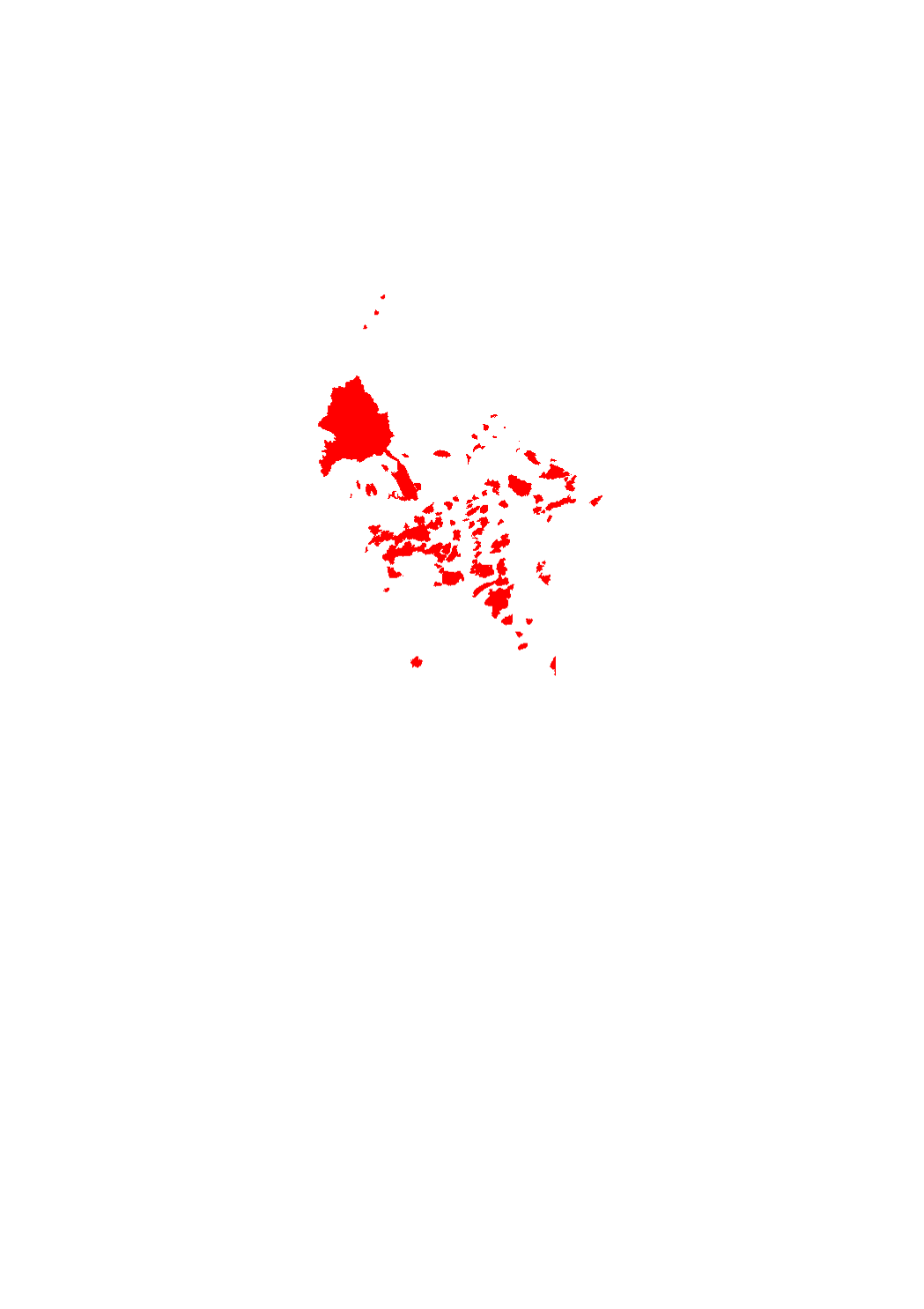
100 m strip, measured from the shore of the Upper Sûre Lake and the pre-dams (altitude 321 m N.N.)
-
This layer contains the saveguard zones.
-
Reports of the provisional (drinking water) safeguard zones.
-
Draft of the grand-ducal regulation regarding the safeguard zones around the Upper Sûre Lake (initial version)
-

Areas in which the application of Metazachlor is forbidden
-
altitude 321 m N.N.
-
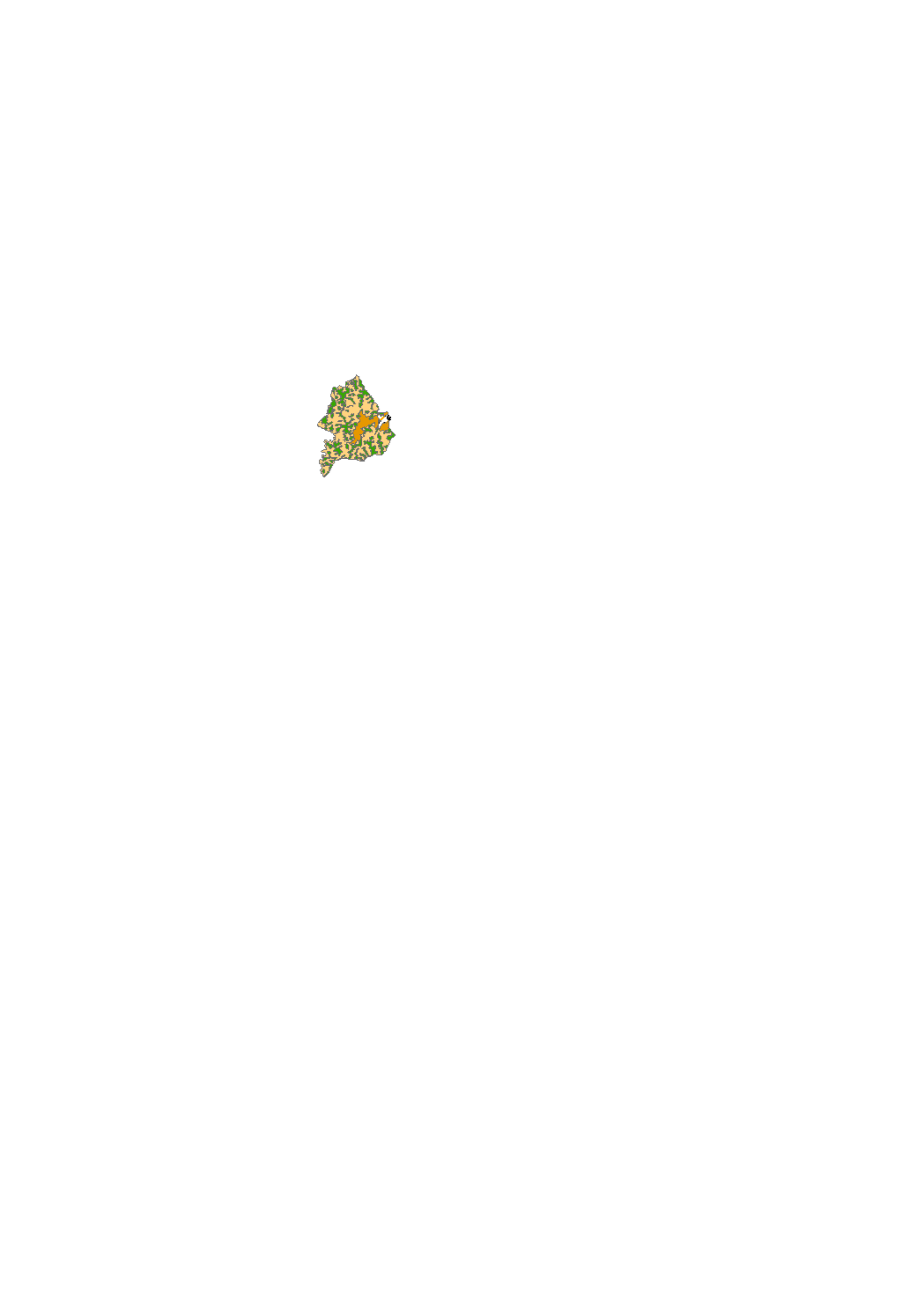
According to the ordinance of april 16, 2021 of the sanitary protection zones of the Upper Sûre lake, the temporary storage of silage as mentioned in point 6.12.2. (Index 27) of the appendix II, compost (point 6.17.2., index 29, appendix II) and manure as mentioned in point 6.18.2. (index 30) of the appendix II on sub-parcels of the protection zones IIC and III that show a slope of less than 5% is allowed, respecting certain conditions. Citizens concerned can use the map to see which sub-parcels within the agricultural areas are affected.
-

By prohibitions or conditions protected zones to prevent contamination of the lake as a drinking water reservoir.
-

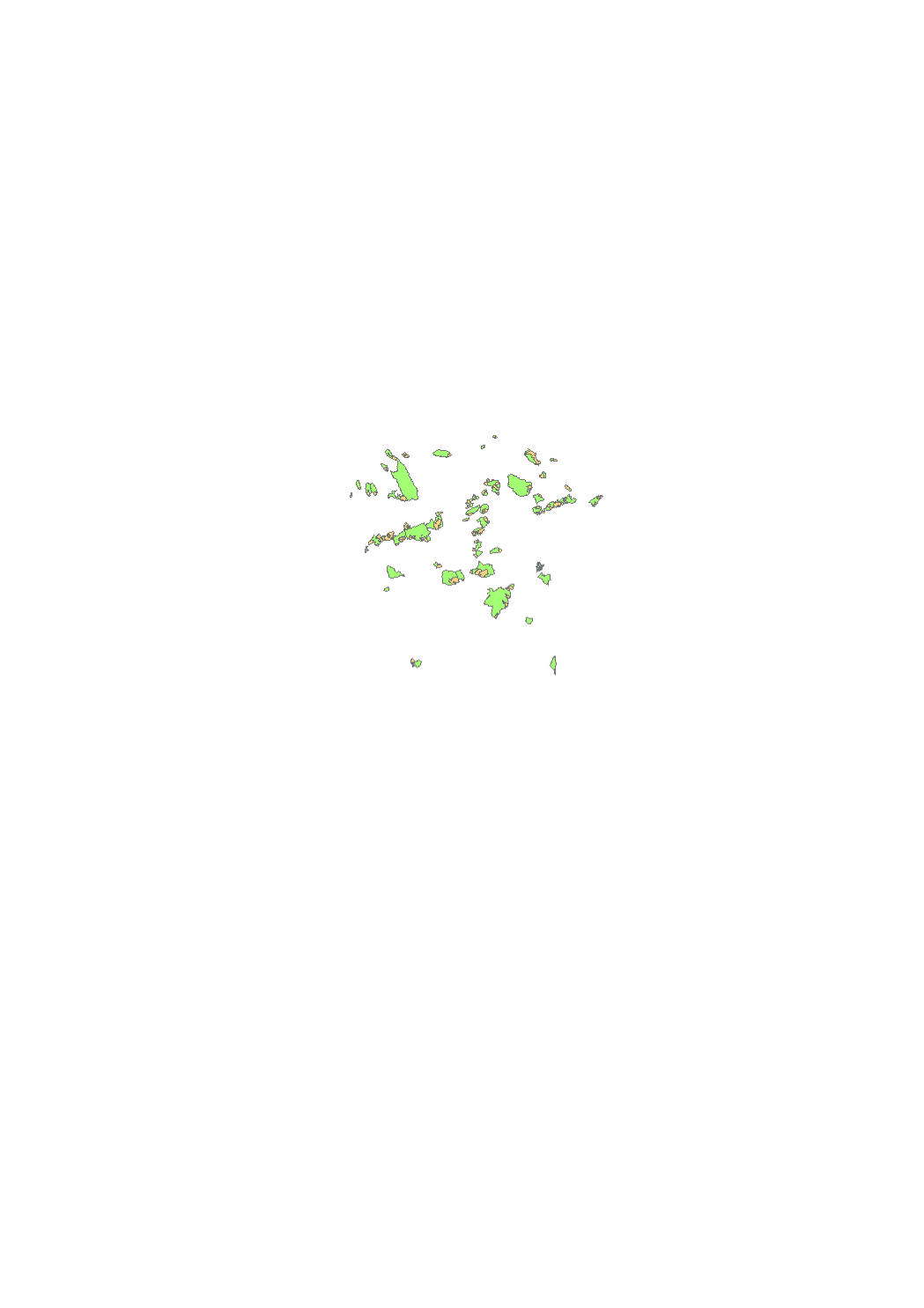
(drinking water) safeguard zones created by grand-ducal regulation used to protect sources and drillings.
-

(drinking water) safeguard zones (ongoing public procedure).
 geocatalogue.geoportail.lu