 geocatalogue.geoportail.lu
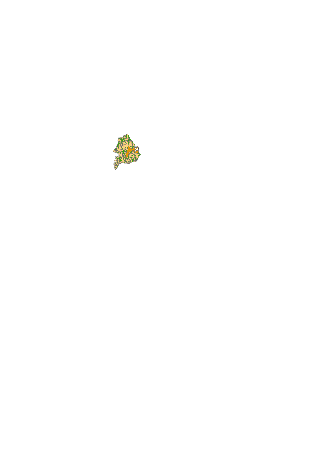
Draft of the grand-ducal regulation regarding the safeguard zones around the Upper Sûre Lake
By prohibitions or conditions protected zones to prevent contamination of the lake as a drinking water reservoir.
Simple
- Date (Creation)
- 2018-06-27T00:00:00
- Citation identifier
- / eab29425-71cc-4610-b48e-8d848d0a8431
- Presentation form
- Digital map
- Status
- On going
- Point of contact
-
Organisation name Individual name Electronic mail address Role Administration de la gestion de l'eau
Division de la protection des eaux
Point of contact
-
Entités au Grand-Duché de Luxembourg
-
-
Grand-Duché du Luxembourg
-
- Keywords
-
- Keywords
-
-
safeguard zone
-
geoportail.lu
-
-
geoportail.lu themes
-
-
Agriculture
-
Water
-
Main
-
-
geoportail.lu structure
-
-
Agriculture>Protected sites
-
Water>Drinking water safeguard zones [ZPS]
-
Agriculture>Protected sites>Draft of the grand-ducal regulation regarding the safeguard zones around the Upper Sûre Lake (modified version)
-
Main>Environment, Biology and Geology>Drinking water safeguard zones [ZPS]
-
- Use constraints
- Other restrictions
- Other constraints
-
Creative Commons 1.0 Universal (CC0 1.0) Public Domain Dedication
- Spatial representation type
- Vector
- Denominator
- 0
- Language
- Lëtzebuergesch
- Language
- Deutsch
- Language
- Français
- Language
- English
- Character set
- UTF8
- Topic category
-
- Inland waters
- Environment
))
- Maintenance and update frequency
- Monthly
- Reference system identifier
- EPSG / http://www.opengis.net/def/crs/EPSG/0/2169
- OnLine resource
-
Protocol Linkage Name OGC:WMS-1.3.0-http-get-map
https://wms.geoportail.lu/public_map_layers/service 1464
WWW:LINK-1.0-http--link
https://data.public.lu/fr/datasets/projet-de-reglement-grand-ducal-delimitant-les-zones-de-protection-autour-du-lac-de-la-haute-sure/ OGC API-Features
https://features.geoportail.lu/collections/1484/349 OGC API - Features
- OnLine resource
-
Protocol Linkage Name https://map.geoportail.lu/theme/main?version=3&zoom=8&X=667917&Y=6394482&lang=fr&layers=1484&opacities=1 Safeguard zones
- OnLine resource
-
Protocol Linkage Name https://map.geoportail.lu/theme/main?version=3&zoom=8&X=667917&Y=6394482&lang=fr&layers=1464&opacities=1 Draft of the grand-ducal regulation regarding the safeguard zones around the Upper Sûre Lake (modified version)
Metadata
- File identifier
- eab29425-71cc-4610-b48e-8d848d0a8431 XML
- Metadata language
- Français
- Character set
- UTF8
- Hierarchy level
- Dataset
- Hierarchy level name
-
dataset
- Date stamp
- 2021-02-04T23:36:04Z
- Metadata standard name
-
ISO 19115:2003/19139
- Metadata standard version
-
1.0
- Metadata author
-
Organisation name Individual name Electronic mail address Role Administration de la gestion de l'eau
Division de la protection des eaux
Point of contact
- Other language
-
Language Character encoding Luxembourgish; Letzeburgesch UTF8 English UTF8 German UTF8 French UTF8
)))