farming
Type of resources
Available actions
Topics
Keywords
Contact for the resource
Provided by
Groups
Years
Representation types
Update frequencies
status
Scale
-
- LEADER Regions 2023-2027 - Data: LVermGeo Rheinland-Pfalz, Ministère de l'Agriculture, de l’Alimentation et de la Viticulture Luxembourg, Ministerium für Umwelt, Klima, Mobilität, Agrar und Verbraucherschutz Saarland, Région Grand Est, Réseau wallon PAC. Harmonization: GIS-GR 2024
-
- Calendar 2024 of the Greater Region: wine and viticulture - Data: Working party Land registry and mapping of the Summit of the Greater Region: Harmonization: GIS-GR 2023
-
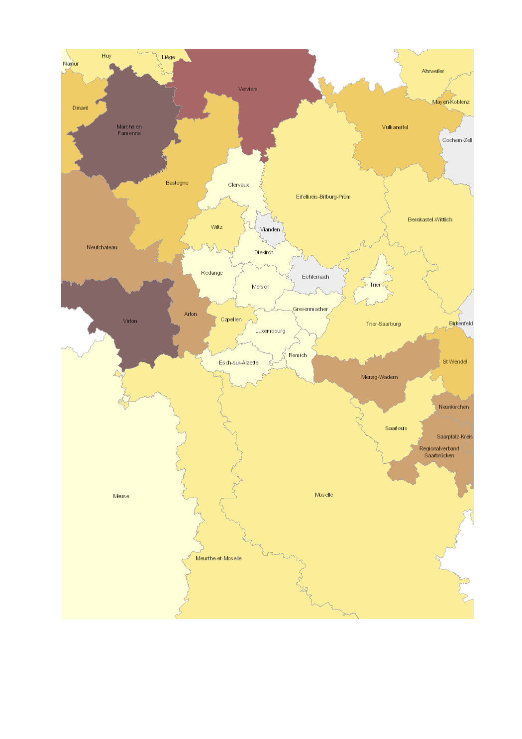
- Share of total utilised agricultural area (UAA) occupied by organic farming (2016-2017) - Territorial entities: arrondissements (Wallonie), départements (Lorraine), cantons (Luxembourg), Kreise (Saarland, Rheinland-Pfalz) - Statistical data sources: Division des Statistiques Agricoles, des Marchés Agricoles et des Relations Extérieures (LUX) 2017; Natagriwal 2017 ; Ministerium für Umwelt und Verbraucherschutz Saarland 2017; ADD Rheinland-Pfalz 2016; Agence BIO / OC Agreste 2016. Harmonization: IGEAT 2018 - Geodata sources: ACT Luxembourg 2017, IGN France 2017, GeoBasis-DE / BKG 2017, NGI-Belgium 2017. Harmonization: SIG-GR / GIS-GR 2018
-
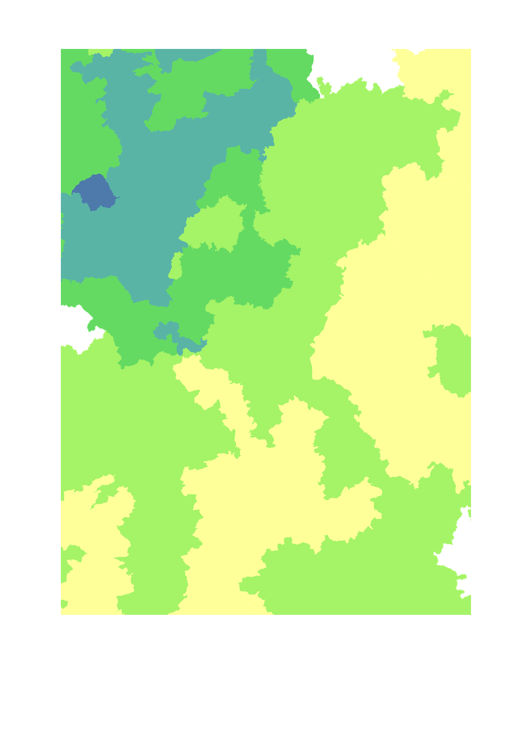
- Livestock units of cattle per ha of agricultural area - Territorial entity: Lorraine: canton (2010), Luxembourg: canton (2015), Rhineland-Palatinate: Landkreise and kreisfreie Städte (2010), Saarland: Landkreise (2016), Wallonia: municipality (2015) - Sources: DRAAF Grand Est 2017; ASTA Luxembourg 2017; Statistisches Landesamt Rheinland-Pfalz 2017; Statistisches Amt Saarland 2017; Direction générale statistique 2017; Groupe de travail "Agriculture et forêt" de la Grande Région. Harmonization: SIG-GR / GIS-GR 2018
-

- Livestock units of cattle and pigs per ha of agricultural area - Territorial entity: Lorraine: canton (2010), Luxembourg: canton (2015), Rhineland-Palatinate: Landkreise and kreisfreie Städte (2010), Saarland: Landkreise (2016), Wallonia: municipality (2015) - Sources: DRAAF Grand Est 2017; ASTA Luxembourg 2017; Statistisches Landesamt Rheinland-Pfalz 2017; Statistisches Amt Saarland 2017, Direction générale statistique 2017; Groupe de travail "Agriculture et forêt" de la Grande Région. Harmonization: SIG-GR / GIS-GR 2018
-
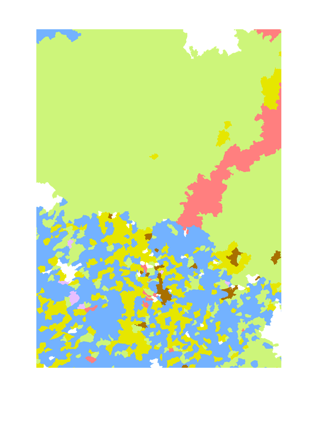
Dominating type of farming in the Greater Region - Territorial entity, reference year and data source: - Lorraine: municipality (2010), DRAAF Grand Est - Luxembourg: municipality (2014), STATEC - Rhineland-Palatinate: municipal association (VG) (2010), Statistisches Landesamt Rheinland-Pfalz - Saarland: municipality (2010), Statistisches Amt Saarland - Wallonia: municipality (2014), Service public Wallonie - DGO3 - DEMNA - Harmonization: SIG-GR / GIS-GR 2016
-
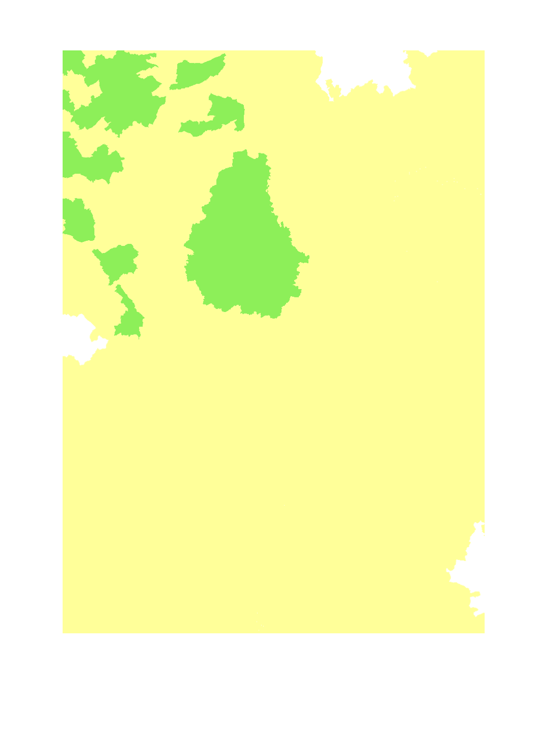
- Livestock units of pigs per ha of agricultural area - Territorial entity: Lorraine: canton (2010), Luxembourg: canton (2015), Rhineland-Palatinate: Landkreise and kreisfreie Städte (2010), Saarland: Landkreise (2016), Wallonia: municipality (2015) - Sources: SIG-GR 2018; DRAAF Grand Est 2017; ASTA Luxembourg 2017; Statistisches Landesamt Rheinland-Pfalz 2017; Statistisches Amt Saarland 2017; Direction générale statistique 2017; Groupe de travail "Agriculture et forêt" de la Grande Région
-
Zoning for the control of African swine fever in Wallonia, Grand Est and Luxembourg - Sources: SPW DEMNA (Wallonie), ANF (Luxembourg), DRAAF (Grand Est)
-
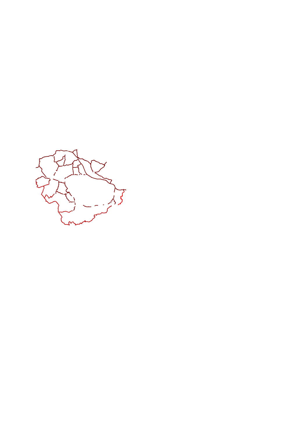
Installed fences for the control of African Swine Fever in Wallonia, Grand Est and Luxembourg - Sources: SPW DEMNA (Wallonie), ANF (Luxembourg), DRAAF (Grand Est)
 geocatalogue.geoportail.lu