map
Type of resources
Available actions
Topics
Provided by
Groups
Years
Formats
Representation types
Update frequencies
status
Scale
-

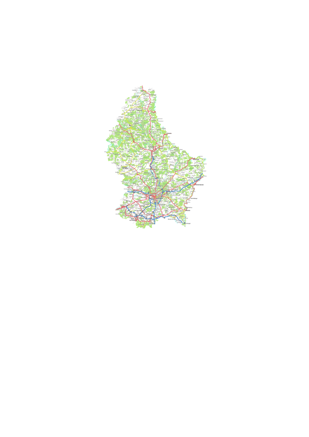
Digital topographic map.
-

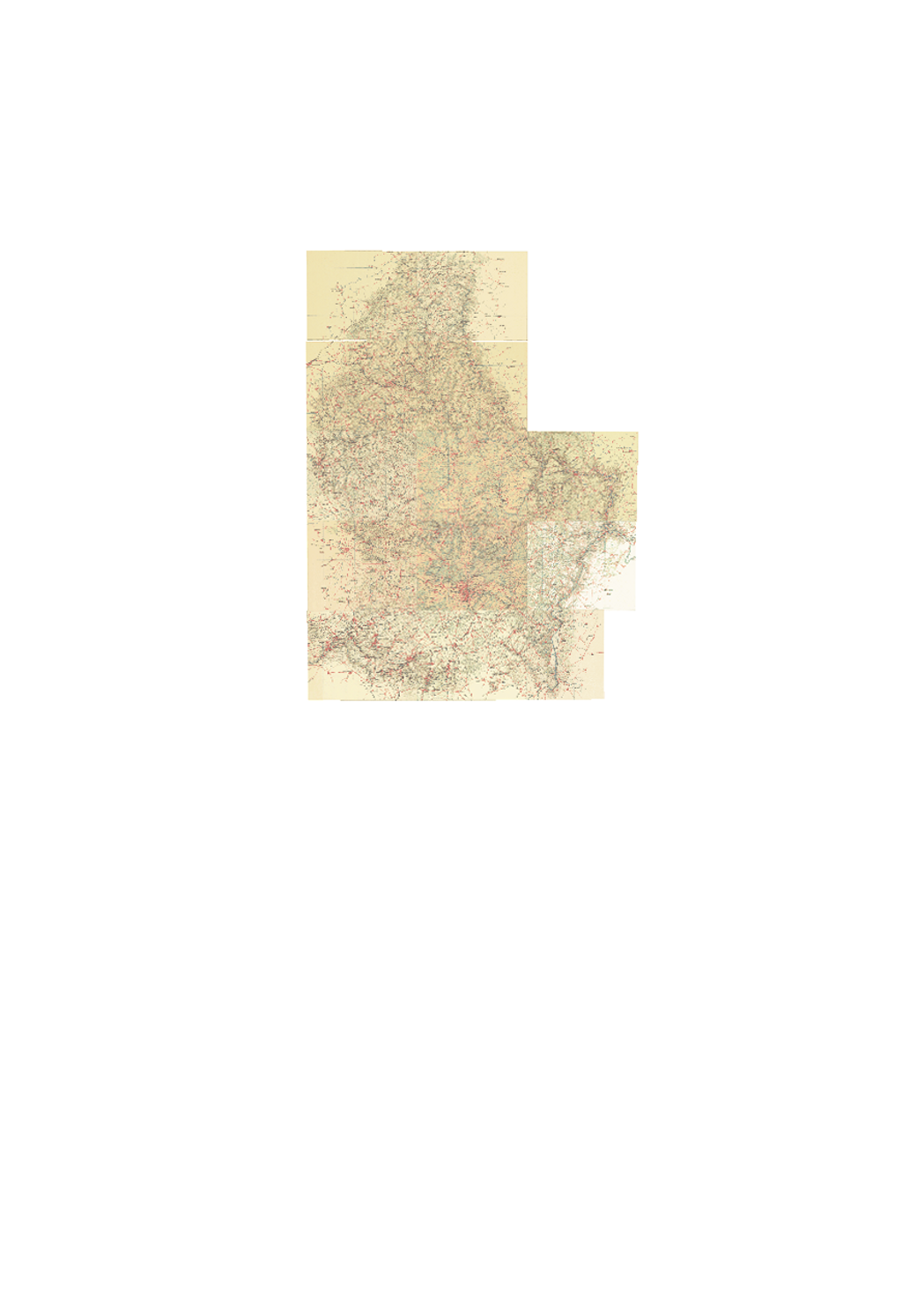
Historic topographic map edited by Hansen.
-

Historic topographic map edited in 1954.
-

Historic topographic map edited by Hansen.
-
Layer showing the intensity of a modeled 100-year flood event. The intensity of a flood event depends on the water depth and the discharge.
-
Layer showing the water depth of a modeled 10-year flood event
-
Layer showing the floodplain of a modeled 10-year flood event
-
Layer showing the floodplain of an extreme modeled flood event
-
Layer showing the intensity of a modeled 50-year flood event. The intensity of a flood event depends on the water depth and the discharge.
-
Layer showing the different hazard zones or degrees of danger which affect humans, animals and goods. The intensity and the frequency of 10-year, 50-year, 100-year, 200-year and extreme flood events are combined in a matrix in order to express the degree of danger: the stronger the intensity and the more often the event occurred, the stronger is the hazard. One distinguishes between high, medium, low and remaining hazard.
 geocatalogue.geoportail.lu