 geocatalogue.geoportail.lu
Transport
Type of resources
Available actions
Topics
Provided by
Groups
Years
Representation types
Update frequencies
status
Scale
-

The main objective of the sectoral plan ‘transport’ is to reserve corridors for road and railway infrastructure, to improve and develop the soft mobility and to create a parking space management system in order to increase the share of public transport in the modal split and to promote soft mobility. http://www.dat.public.lu/plans_caractere_reglementaire/plans_sectoriels/transports/index.html
-

-
Train stations at which the trains operated by the CFL stop
-

This layer contains the official Localisation of traffic radars installed by the MDDI
-

"Park + Ride" parking lots in Luxembourg and the surroundings
-
<a href="http://www.lvi.lu">http://www.lvi.lu</a>
-
This layer contains the mileage points along the railway tracks in Luxemburg. Every point has a unique designation, which can be used when specifying a particular position near the rails.
-
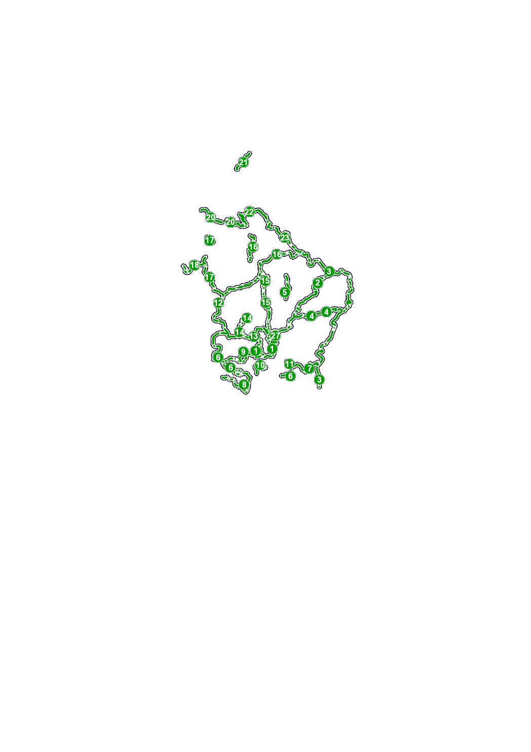
Public transport stops (train and bus) in Luxembourg and the surroundings Real-time Information (if available) of the coming departures and arrival and also the possibilty to choose the selected stop as starting point or destination on <a href="www.mobiliteit.lu" target="_blank">Mobiliteit.lu</a>.
-
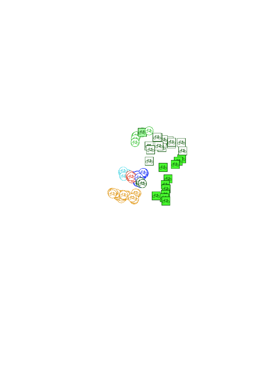
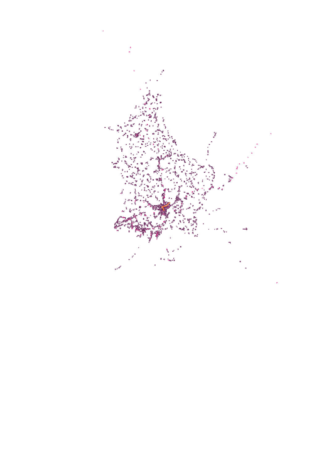
Bike sharing services and the «Rent-a-Bike» rental stations Numerous camp sites, hotels and shops offer bike rentals. Located at the edge of cycling trails, you can hire the RaB bikes by the day, half day or for numerous days in. Its very simple: rent a bike at your point of departure and return it to the next station.
-
<a href="http://www.pistescyclables.lu">http://www.pistescyclables.lu</a>