 geocatalogue.geoportail.lu
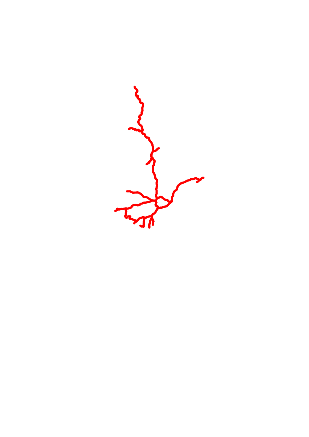
Mileage of the CFL tracks
This layer contains the mileage points along the railway tracks in Luxemburg. Every point has a unique designation, which can be used when specifying a particular position near the rails.
Simple
- Citation identifier
- / 938f9e8e-071c-4e6b-940f-64b2a60eca74
- Presentation form
- Digital map
- Status
- On going
- Point of contact
-
Organisation name Individual name Electronic mail address Role CFL - Division Topographie et Géométrie
Steve Seyler
Point of contact
- Maintenance and update frequency
- As needed
-
Entités au Grand-Duché de Luxembourg
-
-
Grand-Duché du Luxembourg
-
- Keywords
-
- Keywords
-
-
track
-
railway
-
mileage
-
rail
-
bornes
-
geoportail.lu
-
-
geoportail.lu themes
-
-
Main
-
PAG
-
-
geoportail.lu structure
-
-
Main>Infrastructure and communication>Transport networks
-
PAG>National planning data>Transport networks
-
- Spatial representation type
- Vector
- Denominator
- 5000
- Language
- Français
- Language
- English
- Language
- Lëtzebuergesch
- Language
- Deutsch
- Character set
- UTF8
- Topic category
-
- Transportation
))
- Reference system identifier
- EPSG / http://www.opengis.net/def/crs/EPSG/0/2169
- OnLine resource
-
Protocol Linkage Name OGC:WMS-1.3.0-http-get-map
https://wms.geoportail.lu/public_map_layers/service 352
WWW:LINK-1.0-http--link
https://data.public.lu/fr/datasets/kilometrage-des-lignes-ferroviaires-luxembourgeoises/ OGC API-Features
https://features.geoportail.lu/collections/352 OGC API - Features
- OnLine resource
-
Protocol Linkage Name https://map.geoportail.lu/theme/main?version=3&zoom=8&X=667917&Y=6394482&lang=fr&layers=352&opacities=1 Mileage of the CFL tracks
- Statement
-
terrestrial surveying by CFL
Metadata
- File identifier
- 938f9e8e-071c-4e6b-940f-64b2a60eca74 XML
- Metadata language
- Français
- Character set
- UTF8
- Hierarchy level
- Dataset
- Hierarchy level name
-
dataset
- Date stamp
- 2021-02-04T23:08:18Z
- Metadata standard name
-
ISO 19115:2003/19139
- Metadata standard version
-
1.0
- Metadata author
-
Organisation name Individual name Electronic mail address Role CFL - Division Topographie et Géométrie
Steve Seyler
Point of contact
- Other language
-
Language Character encoding Luxembourgish; Letzeburgesch UTF8 English UTF8 German UTF8 French UTF8
)))