 geocatalogue.geoportail.lu
Administration des ponts et chaussées
Type of resources
Available actions
Topics
Keywords
Contact for the resource
Provided by
Groups
Years
Formats
Representation types
Update frequencies
status
Scale
-
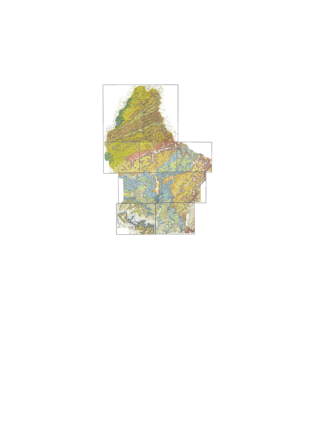
Detailed of surface geology, in 25 colors, with legend, geological cross-sections and lithologic and stratigraphic scale; on detailed topographic background with height curves. "New edition", from 1971 until today. This map series has 13 sheets at a scale of 1:25000, 11 of which are available (2024): 1 - Troisvierges, 2 - Wiltz, 3 - Clervaux, 4 - Esch/Sûre, 6 - Beaufort, 7 - Redange, 8 - Mersch, 9 - Echternach, 11 - Grevenmacher, 12 - Esch/Alzette, 13 - Remich. Annotation booklets available for some maps under https://geologie.lu/index.php/telechargements .
-
Carte géol. Robert 1:100k 1915
-
This layer shows the stations of the Luxembourg seismic monitoring network, which records vibrations caused by earthquakes. The locations are approximate. You can find more information on the website of the ECGS (http://www.ecgs.lu), which operates this network
-
Cartes de géophysique aéroportée, Comptage Th
-
Cartes de géophysique aéroportée, Champ total résiduel réduit au pôle
-
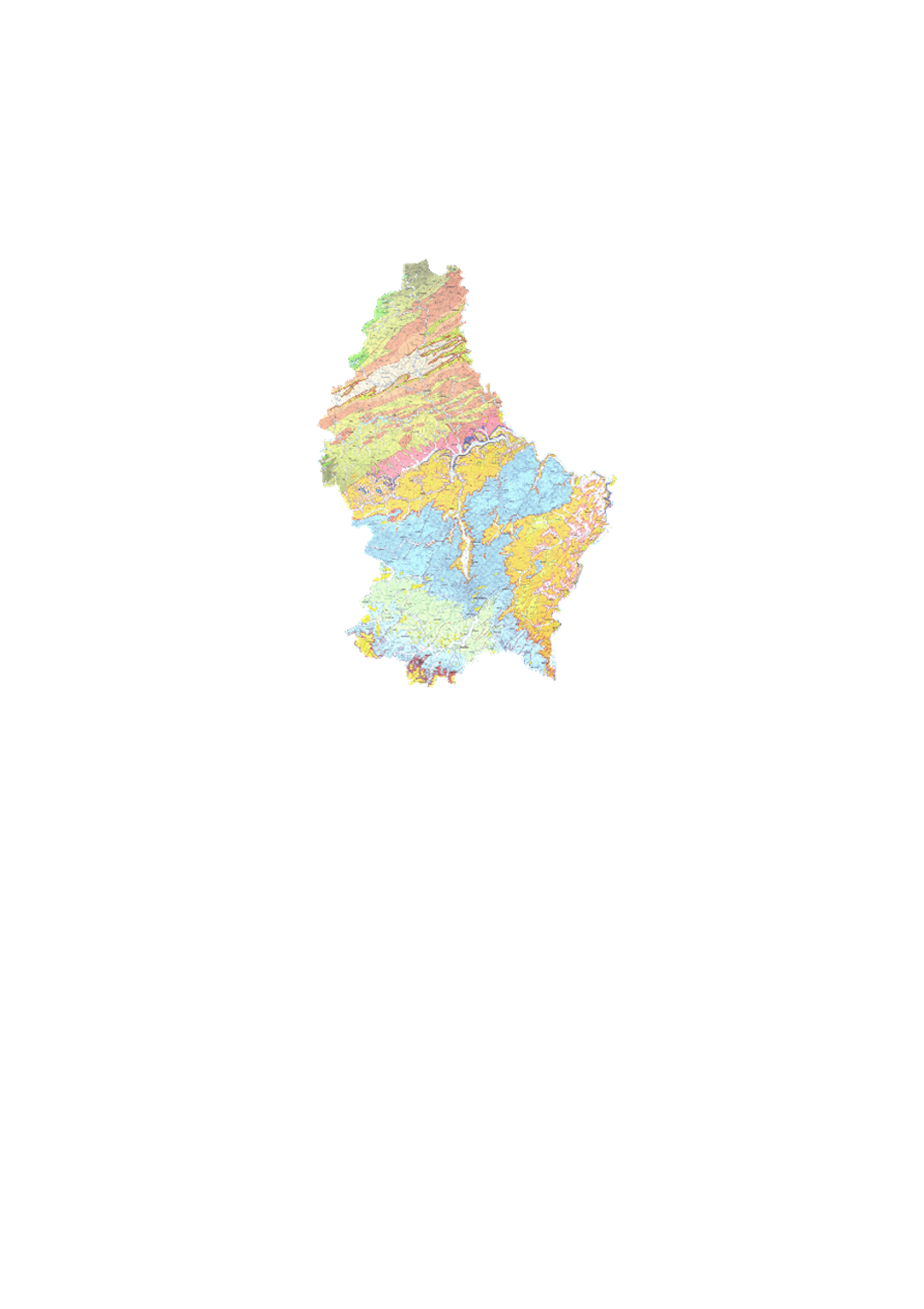
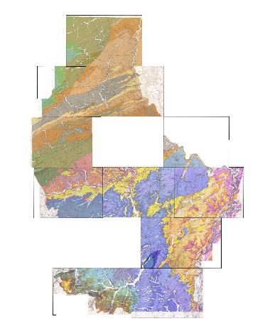
Geological overview map 1:100k 1992
-
Cartes de géophysique aéroportée, champ total VLF
-
Geological unit thicknesses
-
Detailed map of surface geology, in colors, with legende; on simple topographic background. "Old edition", from 1947 to 1949 by Michel Lucius. This dataset has 7 sheets at a scale of 1:25000 and 1 sheet at a scale of 1:50 000, 6 are available as originals and 2 as color copies: 1 - Ech/Alzette 1:25000 (color copy), 2 - Remich 1:25000, 3 - Luxembourg 1:25000 (color copy), 4 - Grevenmacher 1:25000, 5 - Redange 1:25000, 6 - Diekirch 1:25000, 7 - Echternach 1:25000, 8 - Wiltz 1:50000. Annotation booklets are available for some sheets: https://geologie.lu/index.php/telechargements .
-
Cartes de géophysique aéroportée, Comptage U