 geocatalogue.geoportail.lu
Keyword
Map
Type of resources
Available actions
Topics
Keywords
Contact for the resource
Provided by
Groups
Years
Representation types
Update frequencies
status
Scale
From
1
-
4
/
4
-
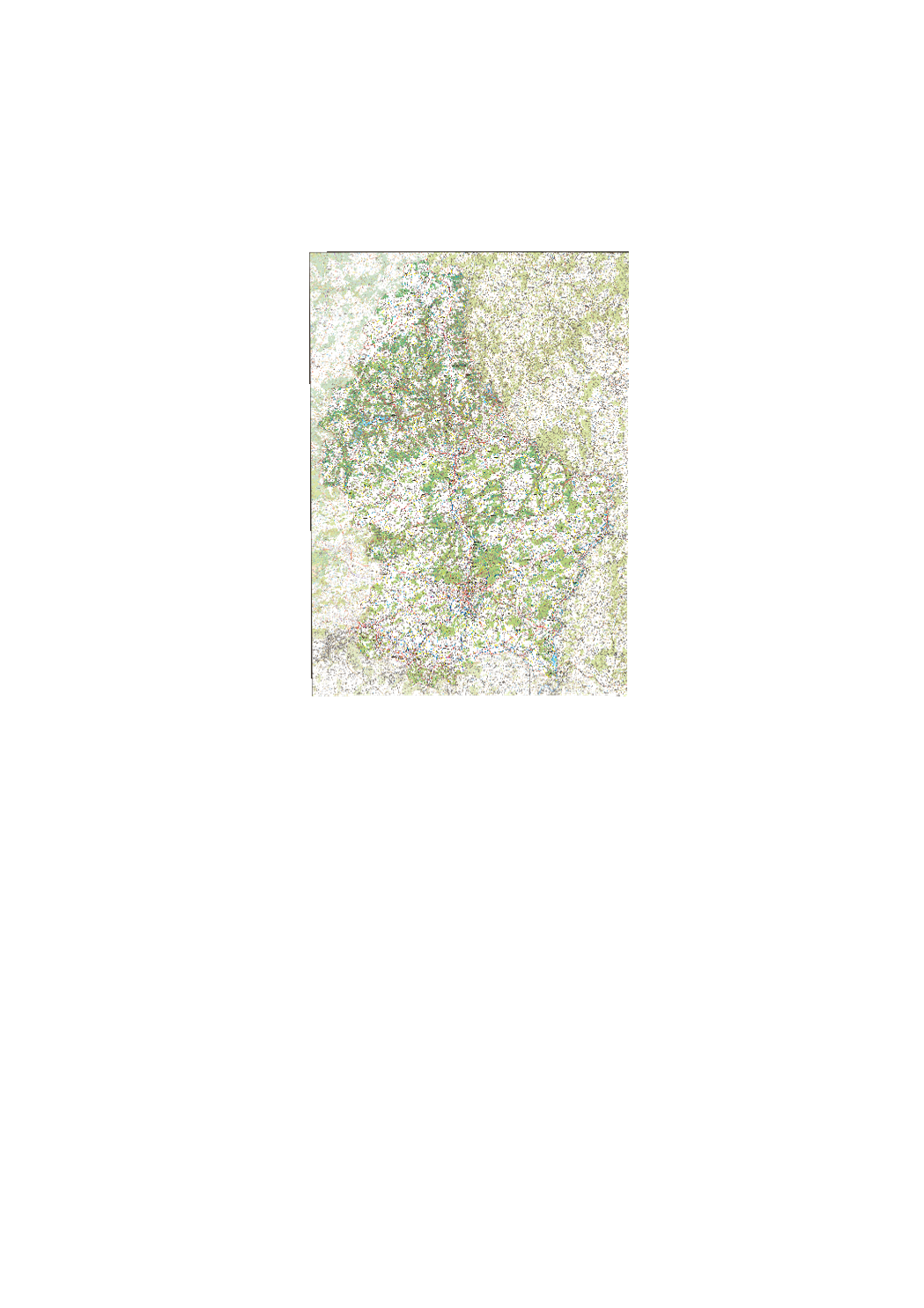
Digital topographic map at scale 1:50.000 issued from the BD-L-TC. Exists as rasterfile (TIFFormat) as well as vector-database, including a style-file for ARCGIS.
-
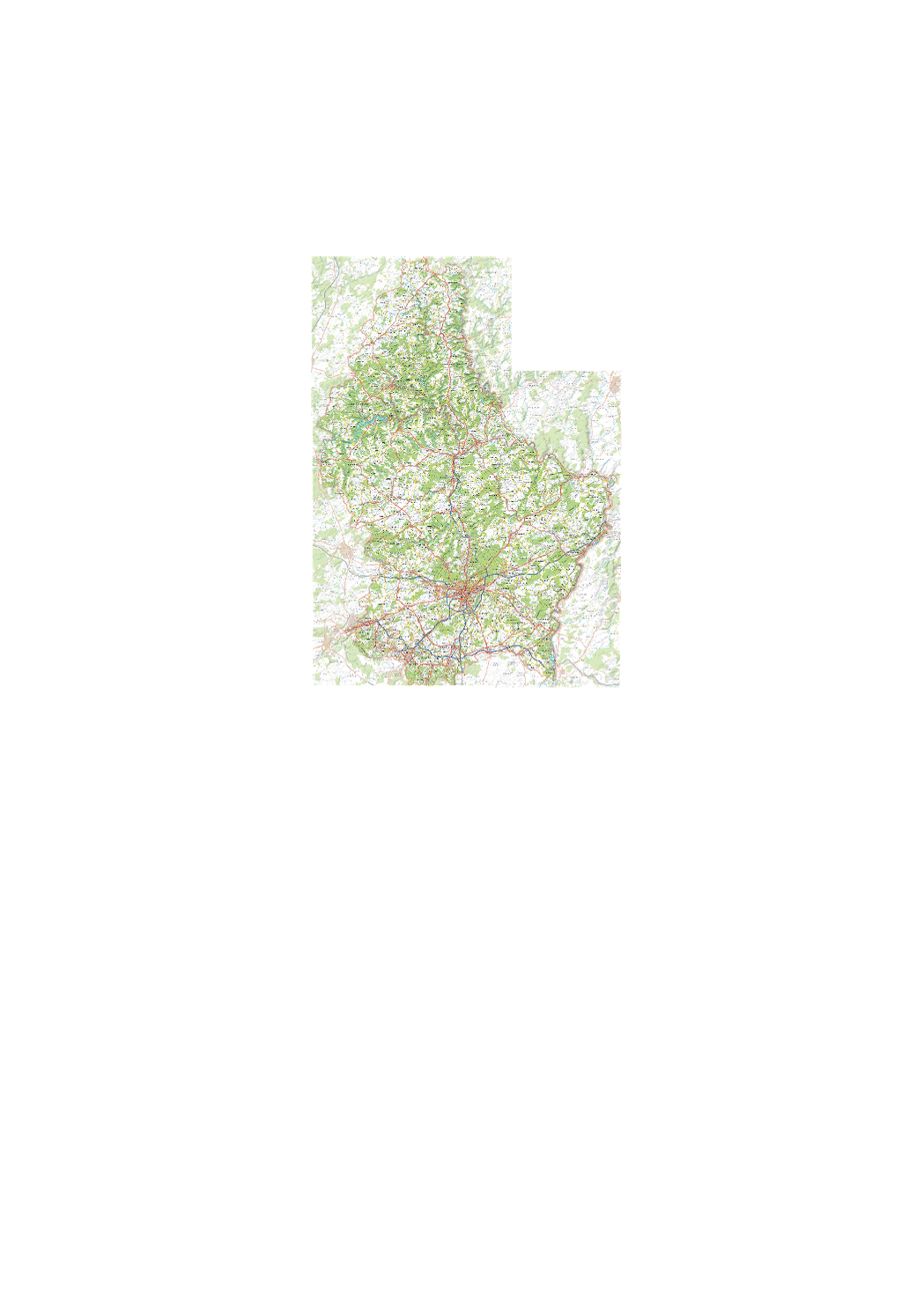
Digital topographic map at scale 1:50.000 issued from the BD-L-TC. Exists as rasterfile (TIFFormat, 2 sheets, North and South) as well as vector- database, including a style-file for ARCGIS.
-
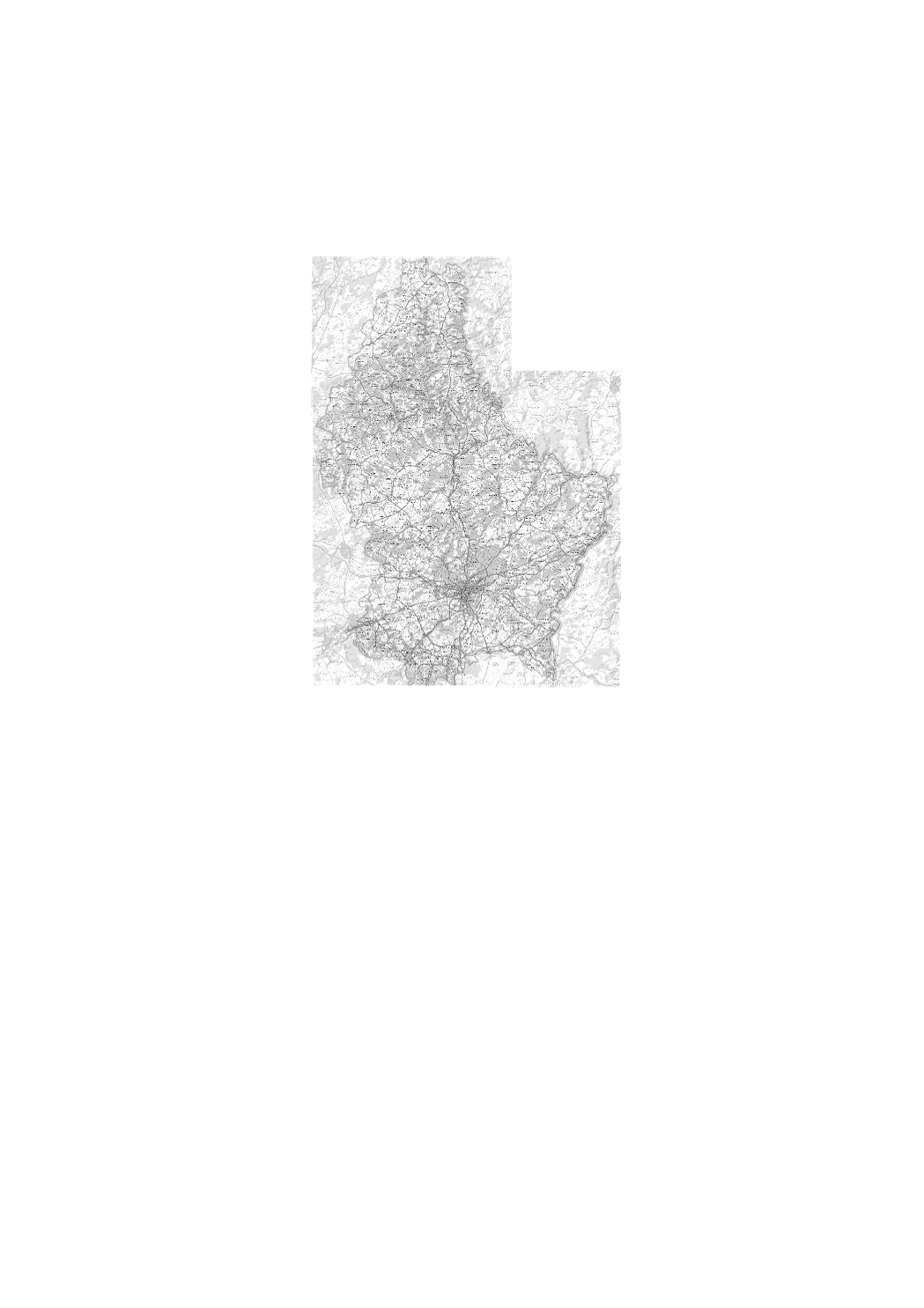
Digital topographic map in black/white at scale 1:50.000 issued from the BD-L-TC. Exists as rasterfile (TIFFormat) as well as vector-database, including a style-file for ARCGIS.
-
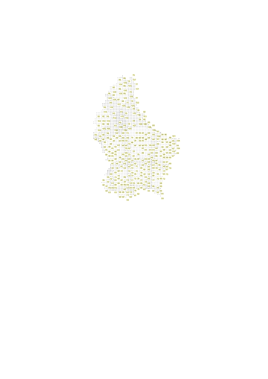
This layer shows the graticules in LUREF (Luxembourg Reference Frame), for orientation and displaying together with other layers and maps.