Keyword
2016
Type of resources
Available actions
Topics
Keywords
Contact for the resource
Provided by
Groups
Years
Representation types
Update frequencies
status
Scale
From
1
-
2
/
2
-

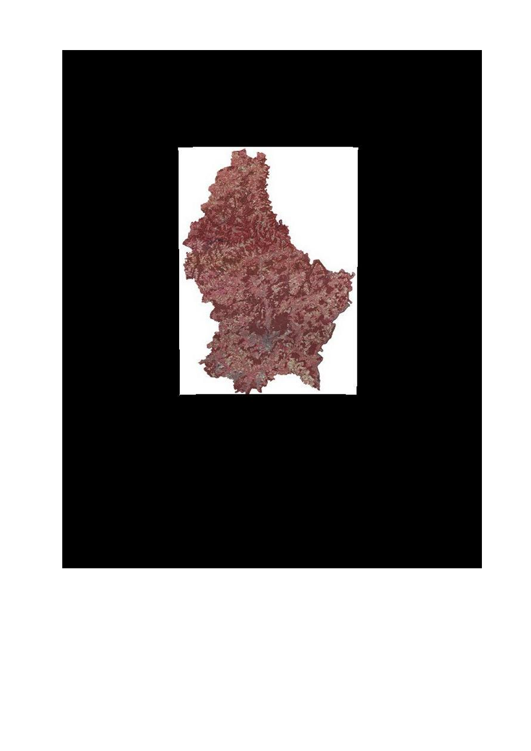
This layer contains the infrared version of the orthophoto 2016.
-

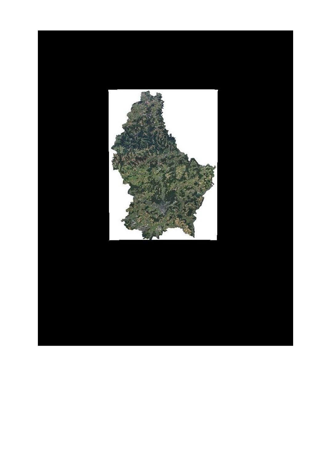
This layer contains the official orthophotos covering the national territory of Luxemburg, and that have been produced following a surveying flight in summer 2016 under the responsibility of the administration du cadastre et de la topographie.
 geocatalogue.geoportail.lu