 geocatalogue.geoportail.lu
Administration du Cadastre et de la Topographie
Type of resources
Available actions
Topics
Keywords
Contact for the resource
Provided by
Groups
Years
Formats
Representation types
Update frequencies
status
Service types
Scale
-
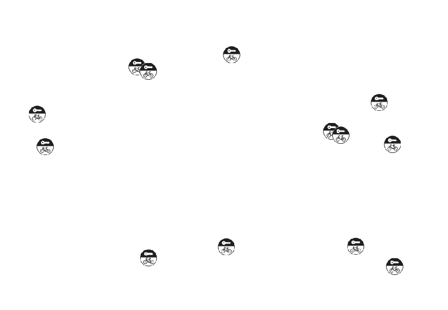
This layer contains charging stations for e-bikes.
-
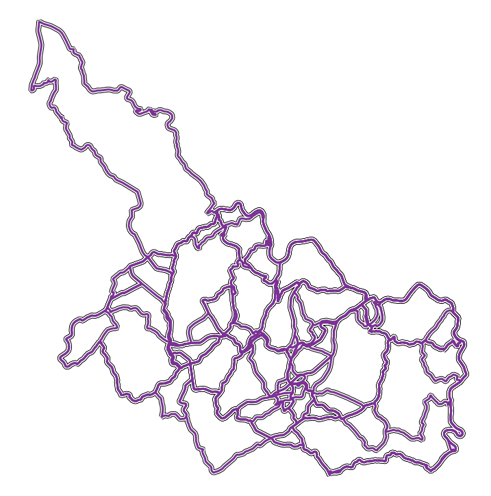
This layer contains tours suitable for road bikes. The tours are not signposted. There is an online roadbook.
-
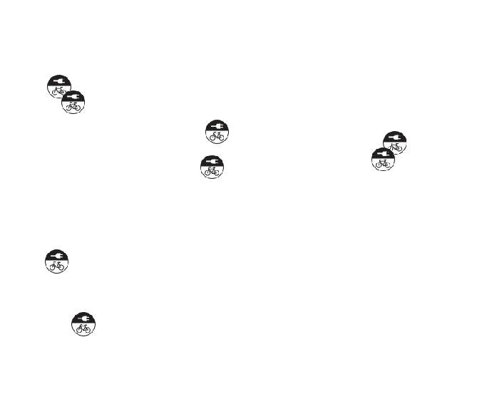
This layer contains bike rental stations.
-
This layer contains touristic cycle tours, such as the Tudor Tour or the Dällchen West Tour.
-
This layer contains marked mountain bike trails with different levels of difficulty.
-
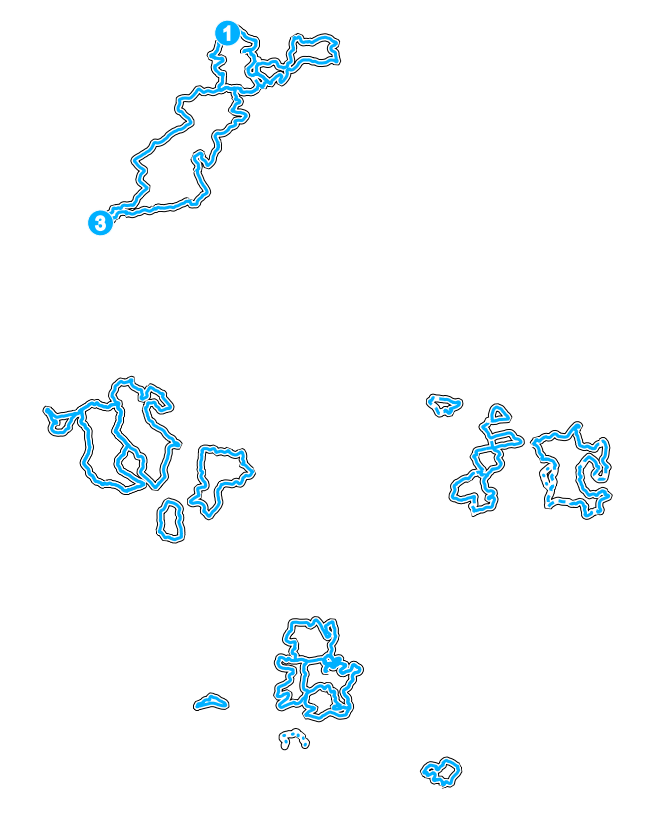
This layer contains bike routes of the neighboring countries that connect to the bike route networks of Luxembourg.
-
This layer contains all nature & geology trails.
-
This layer contains the events of the FLMP/ IVV (Fédération luxembourgeoise de la marche populaire).
-
This layer contains the permanent hiking trails of the FLMP/ IVV (Fédération luxembourgeoise de la marche populaire).
-

This layer contains the Luxembourg part of the Liberation Route Europe.