 geocatalogue.geoportail.lu
2500
Type of resources
Available actions
Topics
Keywords
Contact for the resource
Provided by
Groups
Years
Representation types
Update frequencies
status
Scale
-

FLIK parcel of the previous year (2024)
-

Project for delimitating the winegrowing areas in Luxemburg
-
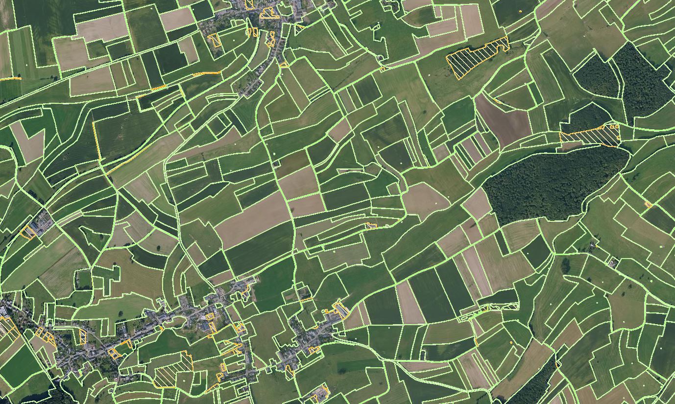
Current status of FLIK parcels after the annual update of the agricultural parcel reference system. The update was performed from the beginning of May to the end of July based on the latest national aerial photos (orthophotos) from 2025. This layer is provisionally and the geometry changes are being validated by the concerned farmers in the course of the participation process (border adjustments, merge and division of parcels with new FLIK numbers, size changes, etc.).
-

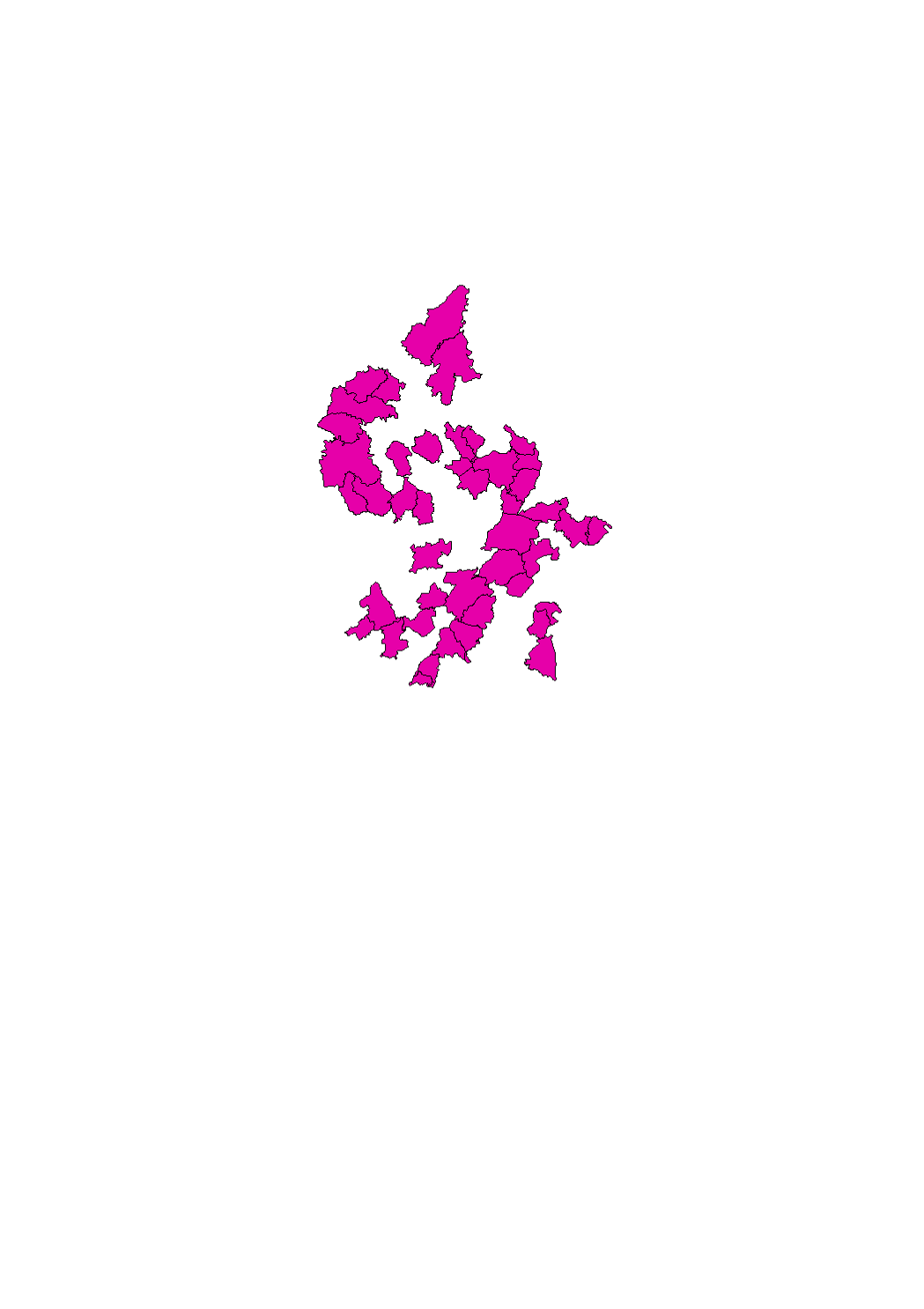
Vineyards along the Mosel in Luxemburg
-
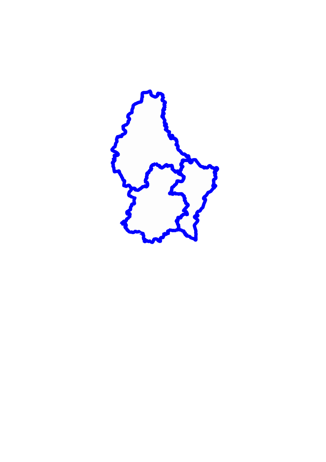
This layer shows the 3 districts in which the territory of the Grand-Duchy of Luxemburg is officially divided.
-
Ensemble des zones définies par le réglement grand-ducal du 28 juillet 2011 concernant le contenu du plan d'aménagement général d'une commune.
-

Agricultural reference parcels of Luxembourg 2025
-

This layer shows the contents created within the public map portals by the individual user, which have been assigned to the specific sub-categories POI. Principally these are point data representing important point objects or attractions.
-
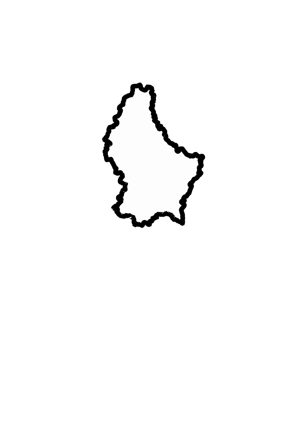
This layer shows the national borders of the Grand-Duchy of Luxemburg.
-

This layer shows the street names, as they are registered in the official town and street names database.