 geocatalogue.geoportail.lu
DWG
Type of resources
Available actions
Topics
Provided by
Groups
Years
Formats
Representation types
Update frequencies
status
Scale
-

This layer shows the contents created within the public map portals by the individual user, which have been assigned to the specific sub-categories POI. Principally these are point data representing important point objects or attractions.
-
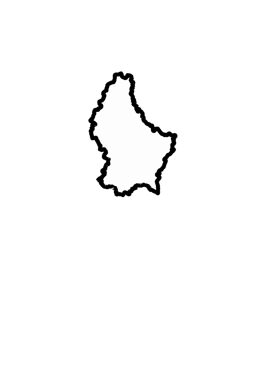
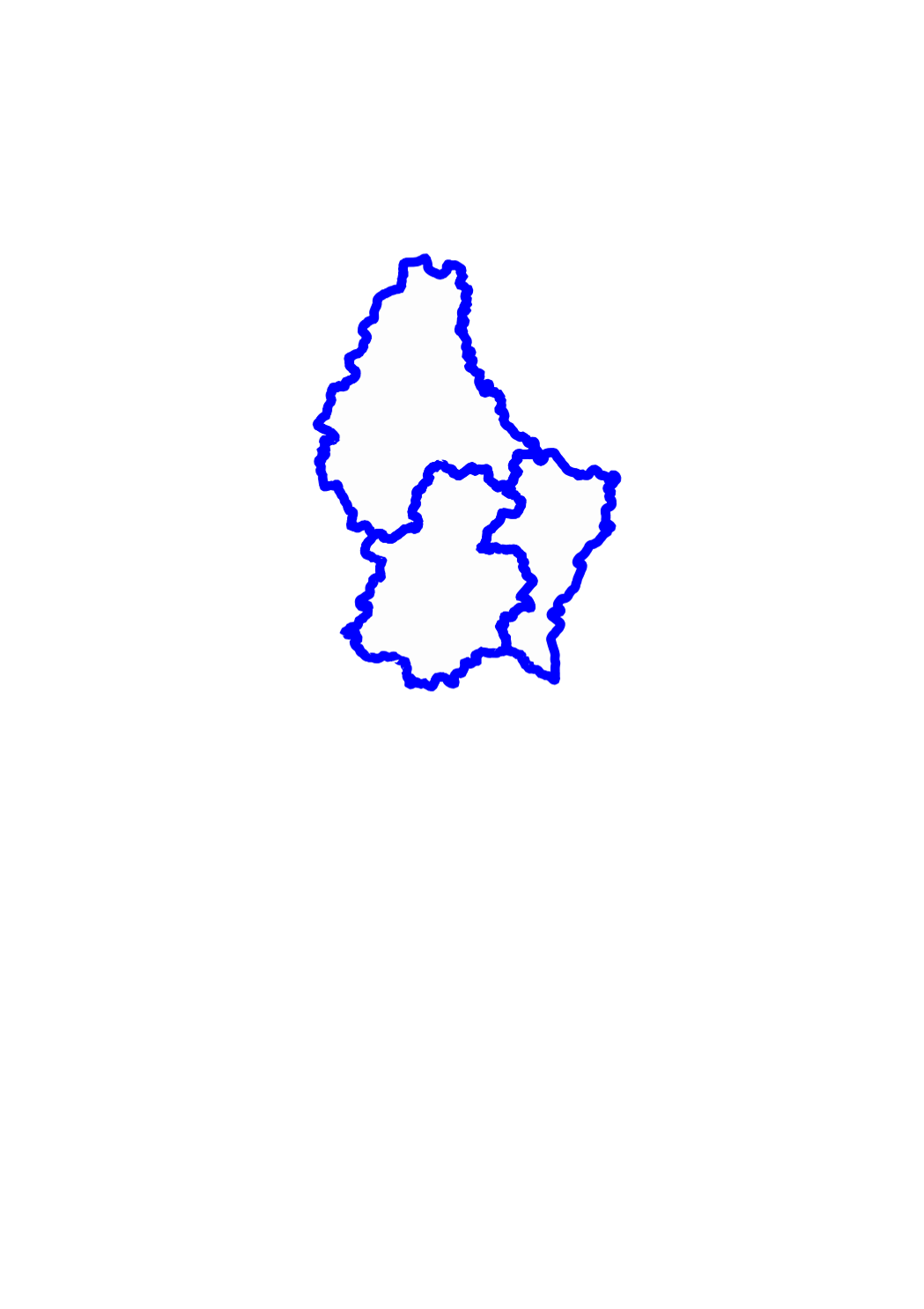
This layer shows the national borders of the Grand-Duchy of Luxemburg.
-

This layer shows the street names, as they are registered in the official town and street names database.
-
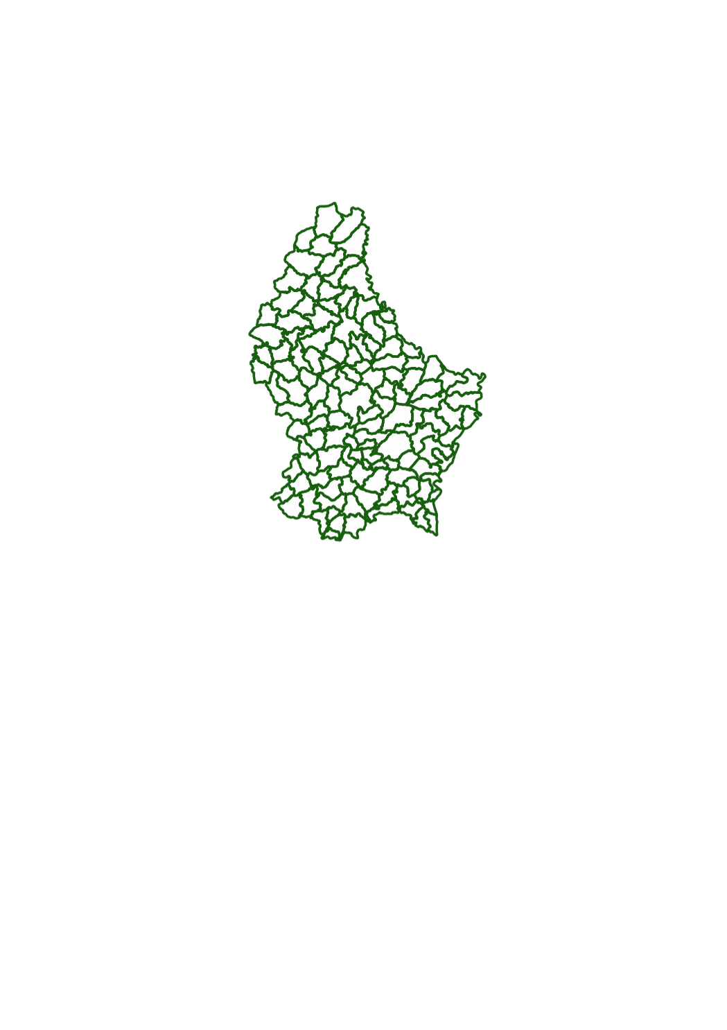
This layer shows the borders of the 130 municipalities as they existed in the beginning of the 19th century, when the cadastre was created in Luxemburg.
-
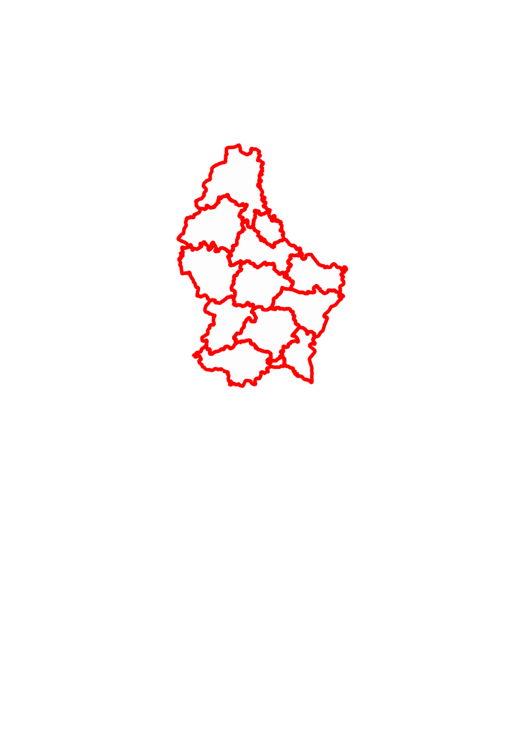
This layer shows the 12 cantons in which the territory of the Grand-Duchy of Luxemburg is officially divided.
-
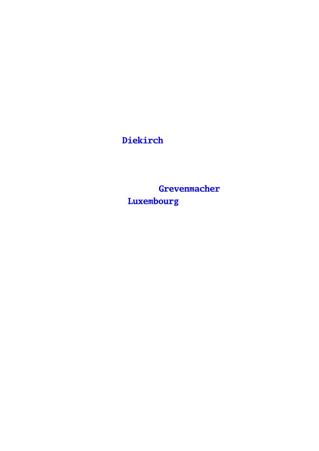
This layer shows the names of the 3 districts in which the territory of the Grand-Duchy of Luxemburg is officially divided.
-
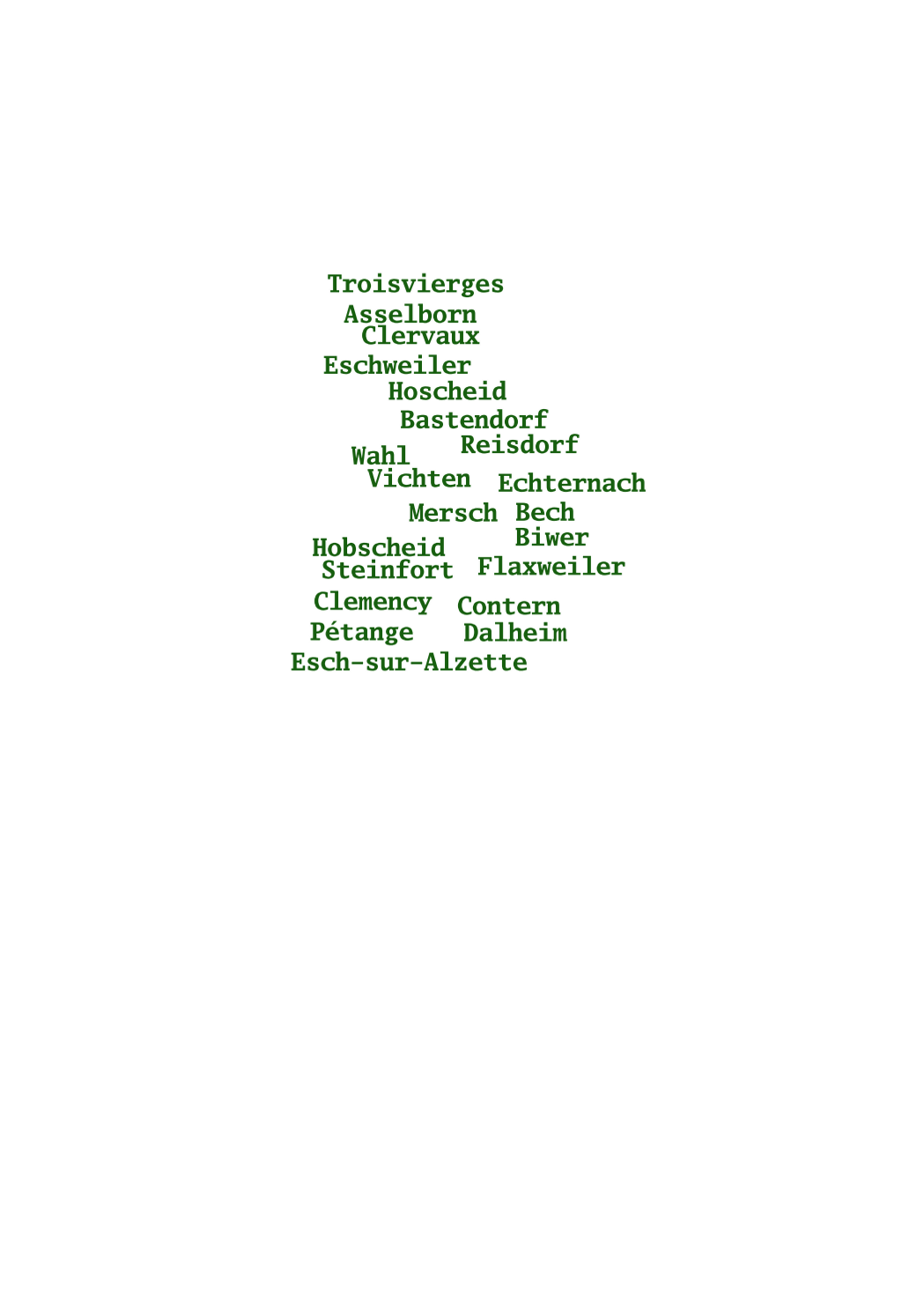
This layer shows the names of the 130 municipalities as they existed in the beginning of the 19th century, when the cadastre was created in Luxemburg.
-

This layer shows the parcel numbers, composed of main number and subnumber.
-
This layer shows the 3 districts in which the territory of the Grand-Duchy of Luxemburg is officially divided.
-
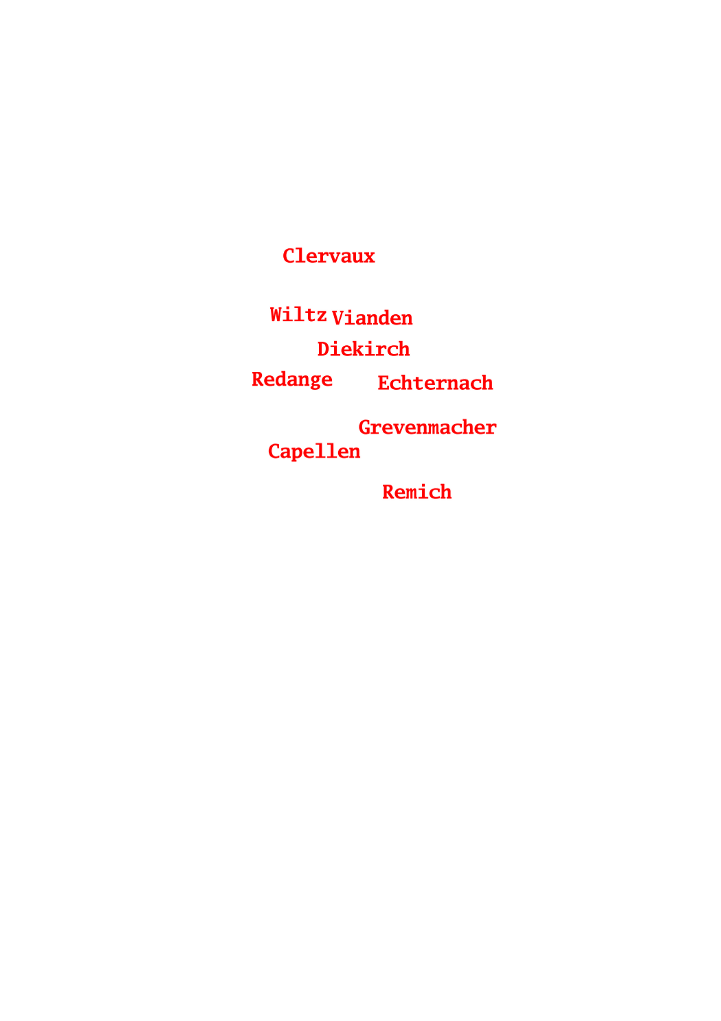
This layer shows the names of the 12 cantons in which the territory of the Grand-Duchy of Luxemburg is officially divided.