 geocatalogue.geoportail.lu
2021
Type of resources
Available actions
Topics
Keywords
Contact for the resource
Provided by
Groups
Years
Representation types
Update frequencies
status
Scale
-
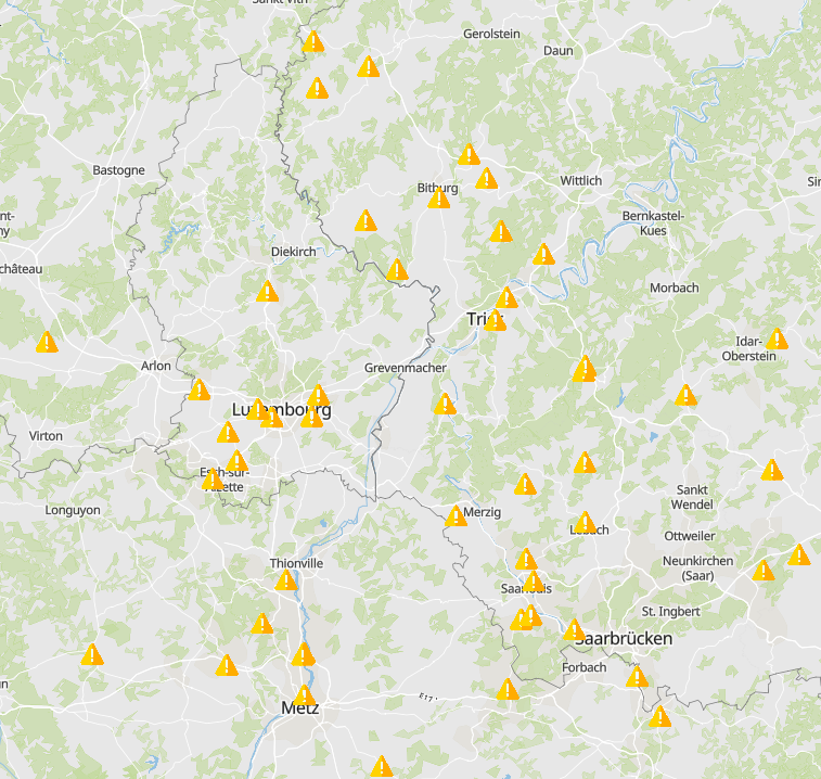
- INTER'RED project: Seveso lower tier establishments - Data sources: Partners of the INTERREG V A project INTER'RED
-
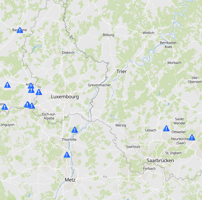
- INTER'RED project: other sites at risk - Data sources: Partners of the INTERREG V A project INTER'RED
-
- INTER'RED project: Spezialised teams - Terrorist threat - Data sources: Partners of the INTERREG V A project INTER'RED
-
- INTER'RED project: specific means of intervention - Technical assistance - Data sources: Partners of the INTERREG V A project INTER'RED
-
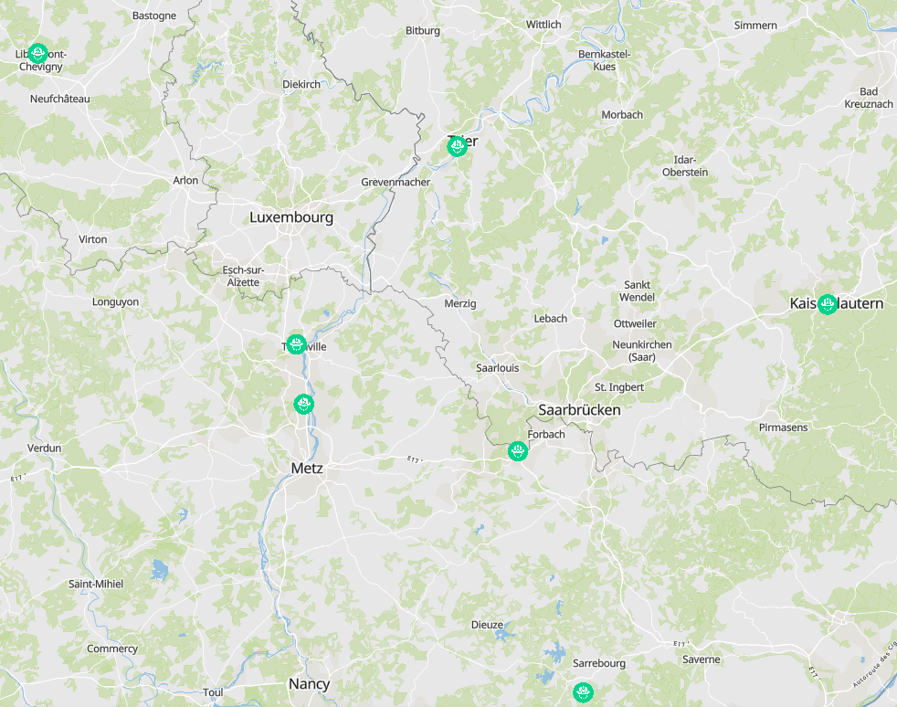
- INTER'RED project: specific means of intervention - Head of operations - Data sources: Partners of the INTERREG V A project INTER'RED
-
- INTER'RED project: Spezialised teams - PUMA (press and media relations) - Data sources: Partners of the INTERREG V A project INTER'RED
-
- Projection of working age population (20-64 years) 2020-2050 - Territorial entities: arrondissements (Wallonie), départements (Lorraine), Grand-Duché (Luxembourg), Kreise (Saarland, Rheinland-Pfalz) - Statistical data sources: INSEE, Statec, Statbel-DEMOBEL, Statistisches Landesamt Rheinland-Pfalz, Statistisches Amt Saarland / Destatis. Calculations: OIE/IBA 2020 - Geodata sources: ACT Luxembourg 2017, IGN France 2017, GeoBasis-DE / BKG 2017, NGI-Belgium 2017. Harmonization: SIG-GR / GIS-GR 2020
-

Introduced in 2003 by Directive 2003/87/EC, the greenhouse gas emissions trading system (ETS) is a political instrument in the fight against climate change and an essential tool for reducing greenhouse gas emissions. Industrial operators included in the system according to the rules set by the directive must monitor, declare and have their emissions verified in order to restitute a number of allowances in the EU ETS registry that is equal to their CO2 emissions. To do this, they can receive emission allowances for free, buy allowances or sell allowances.