 geocatalogue.geoportail.lu
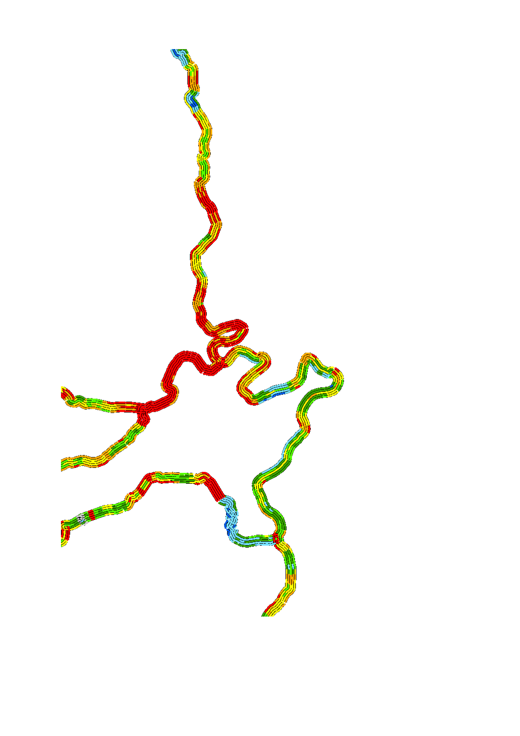
Surface water body, Directive 2000/60/CE, hydromorhology, structural quality mapping, evaluation in 5 strips, 7 classes
Type of resources
Available actions
Keywords
Provided by
Groups
Years
Representation types
Update frequencies
status
Scale
-
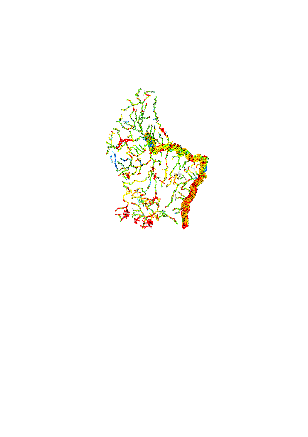
The hydromorphological status was determined by a monitoring compliant with the Water Framework Directive (Directive 2000/60/EU). The elaboration of a structural quality mapping is one part of this monitoring. Within the scope of the work on the structural quality mapping, a total of 31 parameters in the area of the river bed, the river bank and the floodplain are assessed so that the structural quality mapping contains detailed information on the river morphology and the river continuity. In this case, the evaluation of the mapped sections is based on seven classes. The areas river bed, left river bank, right riverbank, left floodplain and right floodplain are represented in 5 strips.
-
The hydromorphological status was determined by a monitoring compliant with the Water Framework Directive (Directive 2000/60/EU). The elaboration of a structural quality mapping is one part of this monitoring. Within the scope of the work on the structural quality mapping, a total of 31 parameters in the area of the river bed, the river bank and the floodplain are assessed so that the structural quality mapping contains detailed information on the river morphology and the river continuity. In this case, the evaluation of the mapped sections is based on seven classes. The areas river bed, left river bank, right riverbank, left floodplain and right floodplain are represented in 5 strips.